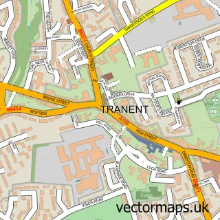
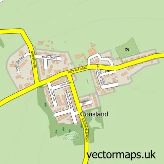
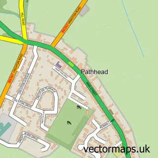
This Ormiston street map is a detailed vector street map covering a 750m x 750m area. Select a larger area to create and download your own vector street map of Ormiston.
The 750-metre map sample for Ormiston covers 282 mapped buildings and approximately 12.8 km of road detail, of which 19 named roads are named. The immediate area includes 1 GP surgery within 2 miles, 1 pub and 1 MOT station, with 3 within 2 miles. The wider area around Ormiston features 2 tourism points of interest and 2 food and drink venues. To create a larger or custom map of Ormiston, the map builder lets you define your own coverage area and download editable SVG, PDF and PNG files.
Create a larger editable map of Ormiston
Choose any area you need and generate a high-quality vector map instantly. Perfect for print, planning, design, business and personal use.

This Ormiston street map in East Lothian is available as downloadable SVG, PDF and PNG map files, or as a printed map for planning, business, display, education, local information and design work. You can also create a larger custom map area using the map selector.
What this Ormiston map sample shows
Ormiston lies within East Lothian parish, part of Haddington And Lammermuir ward in the East Lothian local authority area. The postcode geography for this area includes the EH postcode area, the EH35 postcode district and the EH35 5 postcode sector. Residents fall under the Lothian for NHS services.
Local features near Ormiston
Within 2 milesAmenities and services in and around Ormiston.
Administrative and postcode information for Ormiston
The local authority covering Ormiston is East Lothian, within the county of East Lothian. The settlement lies within Haddington And Lammermuir ward and East Lothian civil parish. The EH35 postcode district and EH35 5 postcode sector serve the immediate area. NHS provision in the area is delivered through Lothian.
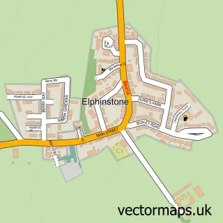
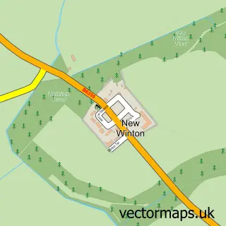
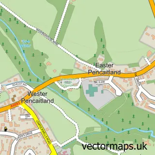
Nearby street map samples around Ormiston

More street maps in East Lothian
750 metre map area coverage
Boundary, postcode and point of interest information for the 750m x 750m rectangle centred on this sample map.
Boundaries containing map centre
Constituency: Lothian East Co Const
District: East Lothian
Icb: Lothian
Postcode District: EH35
Postcode Sector: EH35 5
Ward: Haddington and Lammermuir Ward
Nearby boundaries intersecting sample
No additional intersecting boundaries found.
Postcode coverage
POI category counts
Acupuncture: 4
Building Supply Store: 2
Atms: 1
Automotive Repair: 1
Beauty And Spa: 1
Beauty Salon: 1
Cafe: 1
Chinese Restaurant: 1
Church Cathedral: 1
Community Center: 1
Sample points of interest
- Edinburgh Acupuncture
- Edinburgh And Lothian Acupuncture
- Jonathan Clogstoun-Willmott
- Lothian Acupuncture
- The Cooperative Food (BF) Ormiston (ERF), Main St
- McNeills Garage
- LV hair & beauty
- Danniella Hay Make-Up & Beauty
- Callum Joinery
- Derek Brown Electrical Services
- Maggies Tea Room Ormiston
- Joe's Kitchen
Create a larger editable map of Ormiston
This sample shows only a 750 metre area. To create a larger map of Ormiston, use our map builder to choose your own coverage area, add titles and download editable SVG, PDF and PNG files.
Create a custom map of Ormiston