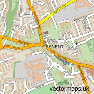
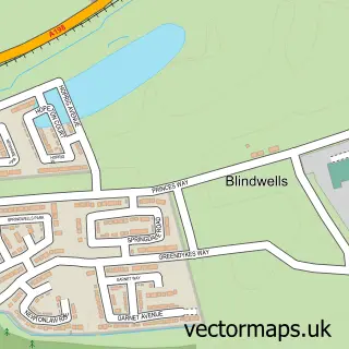
This Pencaitland street map is a detailed vector street map covering a 750m x 750m area. Select a larger area to create and download your own vector street map of Pencaitland.
The 750-metre map sample for Pencaitland covers 168 mapped buildings and approximately 8.7 km of road detail, of which 10 named roads are named. The immediate area includes 2 pubs and 2 MOT stations within 2 miles. The wider area around Pencaitland features 2 tourism points of interest and 4 food and drink venues. To create a larger or custom map of Pencaitland, the map builder lets you define your own coverage area and download editable SVG, PDF and PNG files.
Create a larger editable map of Pencaitland
Choose any area you need and generate a high-quality vector map instantly. Perfect for print, planning, design, business and personal use.

This Pencaitland street map in East Lothian is available as downloadable SVG, PDF and PNG map files, or as a printed map for planning, business, display, education, local information and design work. You can also create a larger custom map area using the map selector.
What this Pencaitland map sample shows
Pencaitland lies within East Lothian parish, part of Haddington And Lammermuir ward in the East Lothian local authority area. The postcode geography for this area includes the EH postcode area, the EH34 postcode district and the EH34 5 postcode sector. Residents fall under the Lothian for NHS services.
Local features near Pencaitland
Within 2 milesAmenities and services in and around Pencaitland.
Administrative and postcode information for Pencaitland
The local authority covering Pencaitland is East Lothian, within the county of East Lothian. The settlement lies within Haddington And Lammermuir ward and East Lothian civil parish. The EH34 postcode district and EH34 5 postcode sector serve the immediate area. NHS provision in the area is delivered through Lothian.
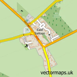
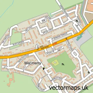
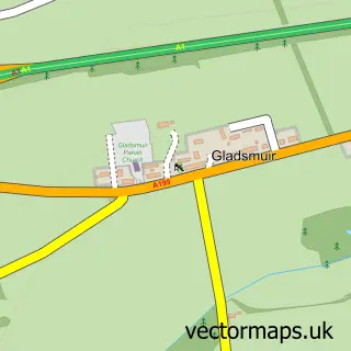
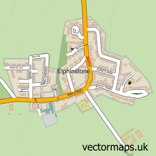
Nearby street map samples around Pencaitland

More street maps in East Lothian
750 metre map area coverage
Boundary, postcode and point of interest information for the 750m x 750m rectangle centred on this sample map.
Boundaries containing map centre
Constituency: Lothian East Co Const
District: East Lothian
Icb: Lothian
Postcode District: EH34
Postcode Sector: EH34 5
Ward: Haddington and Lammermuir Ward
Nearby boundaries intersecting sample
No additional intersecting boundaries found.
Postcode coverage
POI category counts
Landmark And Historical Building: 2
Pub: 2
Tree Services: 2
Art Museum: 1
Automotive Repair: 1
Cafe: 1
Church Cathedral: 1
Coffee Shop: 1
Community Services Non Profits: 1
Convenience Store: 1
Sample points of interest
- Tin-Can Telephone
- Pencaitland Garage Services
- Connections Cafe
- Pencaitland Parish Church
- Costa Express
- Pencaitland
- SPAR
- Glenkinchie Distillery
- Unleashed Dog Parks
- Pencaitland Primary School
- Connected Kerb Charging Stations
- The Daisy Chain
Create a larger editable map of Pencaitland
This sample shows only a 750 metre area. To create a larger map of Pencaitland, use our map builder to choose your own coverage area, add titles and download editable SVG, PDF and PNG files.
Create a custom map of Pencaitland