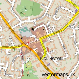
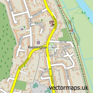
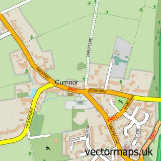
This Oxford street map is a detailed vector street map covering a 750m x 750m area. Select a larger area to create and download your own vector street map of Oxford.
The 750-metre map sample for Oxford covers 138 mapped buildings and approximately 34.4 km of road detail, of which 61 named roads are named. The immediate area includes 3 schools, 3 GP surgeries, with 14 within 2 miles, 37 pubs and 12 MOT stations within 2 miles. The wider area around Oxford features 42 tourism points of interest, 150 food and drink venues and 23 hotels. To create a larger or custom map of Oxford, the map builder lets you define your own coverage area and download editable SVG, PDF and PNG files.
Create a larger editable map of Oxford
Choose any area you need and generate a high-quality vector map instantly. Perfect for print, planning, design, business and personal use.

This Oxford street map in Oxfordshire is available as downloadable SVG, PDF and PNG map files, or as a printed map for planning, business, display, education, local information and design work. You can also create a larger custom map area using the map selector.
What this Oxford map sample shows
Oxford lies within South Hinksey Cp parish, part of Botley & Sunningwell ward in the Vale Of White Horse District local authority area. The postcode geography for this area includes the OX postcode area, the OX1 postcode district and the OX1 5 postcode sector. Residents fall under the Nhs Buckinghamshire, Oxfordshire And Berkshire West Integrated Care Board for NHS services.
Local features near Oxford
Within 2 milesAmenities and services in and around Oxford.
Administrative and postcode information for Oxford
Oxford lies within South Hinksey Cp parish, part of Botley & Sunningwell ward in the Vale Of White Horse District local authority area. The postcode geography for this area includes the OX postcode area, the OX1 postcode district and the OX1 5 postcode sector. Residents fall under the Nhs Buckinghamshire, Oxfordshire And Berkshire West Integrated Care Board for NHS services.
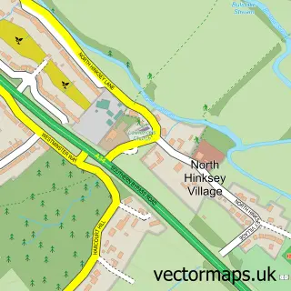
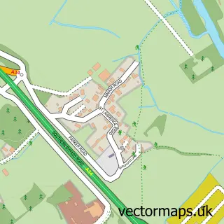
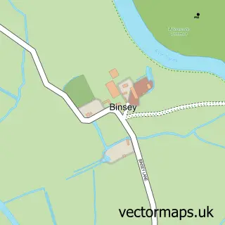
Nearby street map samples around Oxford
More street maps in Oxfordshire
750 metre map area coverage
Boundary, postcode and point of interest information for the 750m x 750m rectangle centred on this sample map.
Boundaries containing map centre
Constituency: Oxford West and Abingdon Co Const
County: Oxfordshire County
District: Oxford District (B)
Icb: NHS Thames Valley ICB
Police Force: thames valley
Postcode District: OX1
Postcode Sector: OX1 1
Ward: Carfax & Jericho Ward, Osney & St Thomas Ward
Nearby boundaries intersecting sample
Postcode Sector: OX1 2, OX1 3, OX1 4
Ward: Holywell Ward
Postcode coverage
POI category counts
Clothing Store: 73
College University: 46
Cafe: 45
Pub: 37
Coffee Shop: 35
Shoe Store: 34
Restaurant: 33
Jewelry Store: 26
Professional Services: 26
Cosmetic And Beauty Supplies: 24
Sample points of interest
- Printpool Additive Manufacturing Ltd.
- Carfax Quarter
- Henry's
- Walton Guest House
- Ox Performance
- Bonn Square Therapy Room
- Rebecca Minton - Acupuncture
- Sandy Steele
- Sandy Steele Acupuncture
- Sandy Steele Lic Ac, MBAcC, MA (Oxon)
- Angel Sharp Media Limited
- BabelQuest
Create a larger editable map of Oxford
This sample shows only a 750 metre area. To create a larger map of Oxford, use our map builder to choose your own coverage area, add titles and download editable SVG, PDF and PNG files.
Create a custom map of Oxford