This Horspath street map is a detailed vector street map covering a 750m x 750m area. Select a larger area to create and download your own vector street map of Horspath.
The 750-metre map sample for Horspath covers 253 mapped buildings and approximately 17.5 km of road detail, of which 14 named roads are named. The immediate area includes 1 school, 3 GP surgeries within 2 miles, 4 pubs and 1 MOT station, with 22 within 2 miles. The wider area around Horspath features 6 food and drink venues. To create a larger or custom map of Horspath, the map builder lets you define your own coverage area and download editable SVG, PDF and PNG files.
Create a larger editable map of Horspath
Choose any area you need and generate a high-quality vector map instantly. Perfect for print, planning, design, business and personal use.

This Horspath street map in Oxfordshire is available as downloadable SVG, PDF and PNG map files, or as a printed map for planning, business, display, education, local information and design work. You can also create a larger custom map area using the map selector.
What this Horspath map sample shows
Horspath lies within Horspath Cp parish, part of Garsington & Horspath ward in the South Oxfordshire District local authority area. The postcode geography for this area includes the OX postcode area, the OX33 postcode district and the OX33 1 postcode sector. Residents fall under the Nhs Buckinghamshire, Oxfordshire And Berkshire West Integrated Care Board for NHS services.
Local features near Horspath
Within 2 milesAmenities and services in and around Horspath.
Administrative and postcode information for Horspath
Horspath lies within Horspath Cp parish, part of Garsington & Horspath ward in the South Oxfordshire District local authority area. The postcode geography for this area includes the OX postcode area, the OX33 postcode district and the OX33 1 postcode sector. Residents fall under the Nhs Buckinghamshire, Oxfordshire And Berkshire West Integrated Care Board for NHS services.
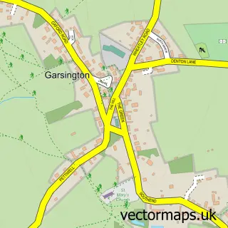
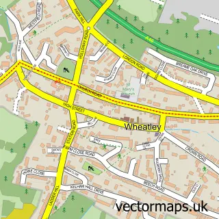
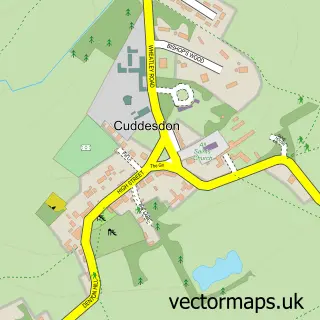
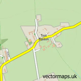
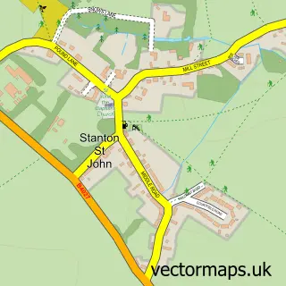
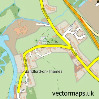
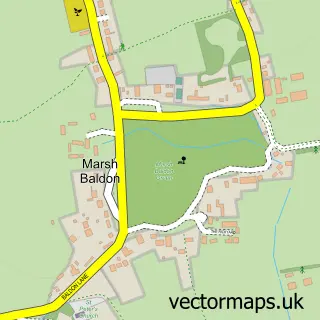
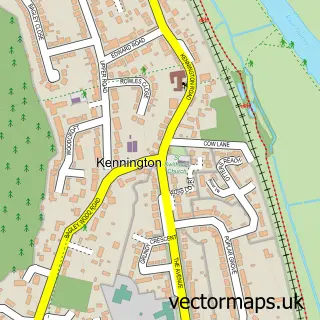
Nearby street map samples around Horspath


More street maps in Oxfordshire
750 metre map area coverage
Boundary, postcode and point of interest information for the 750m x 750m rectangle centred on this sample map.
Boundaries containing map centre
Constituency: Henley and Thame Co Const
County: Oxfordshire County
District: South Oxfordshire District
Icb: NHS Thames Valley ICB
Parish: Horspath CP
Police Force: thames valley
Postcode District: OX33
Postcode Sector: OX33 1
Ward: Garsington & Horspath Ward
Nearby boundaries intersecting sample
Constituency: Oxford East Boro Const
District: Oxford District (B)
Postcode District: OX4
Postcode Sector: OX4 2
Ward: Blackbird Leys Ward
Postcode coverage
POI category counts
Pub: 4
Accommodation: 2
Anglican Church: 2
Brewery: 2
Himalayan Nepalese Restaurant: 2
Restaurant: 2
Arts And Crafts: 1
Auto Electrical Repair: 1
Auto Upholstery: 1
Automotive Services And Repair: 1
Sample points of interest
- Circle Hotels and B&Bs
- Horspath Village
- St Giles Church
- St Giles, Horspath
- Shepherds Cottage Pottery
- R.A.D Mechanical Services Ltd.
- Newtrim UK Ltd.
- Horspath Service Station
- The Circle
- Oxford Brewery
- Oxford Brewery
- Oxford Brewery
Create a larger editable map of Horspath
This sample shows only a 750 metre area. To create a larger map of Horspath, use our map builder to choose your own coverage area, add titles and download editable SVG, PDF and PNG files.
Create a custom map of Horspath