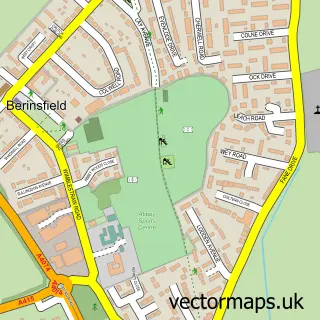
This Marsh Baldon street map is a detailed vector street map covering a 750m x 750m area. Select a larger area to create and download your own vector street map of Marsh Baldon.
The 750-metre map sample for Marsh Baldon covers 123 mapped buildings and approximately 10.7 km of road detail, of which 1 named road are named. The immediate area includes 1 school, 2 GP surgeries within 2 miles, 3 pubs and 2 MOT stations within 2 miles. The wider area around Marsh Baldon features 3 food and drink venues. To create a larger or custom map of Marsh Baldon, the map builder lets you define your own coverage area and download editable SVG, PDF and PNG files.
Create a larger editable map of Marsh Baldon
Choose any area you need and generate a high-quality vector map instantly. Perfect for print, planning, design, business and personal use.

This Marsh Baldon street map in Oxfordshire is available as downloadable SVG, PDF and PNG map files, or as a printed map for planning, business, display, education, local information and design work. You can also create a larger custom map area using the map selector.
What this Marsh Baldon map sample shows
Marsh Baldon lies within Marsh Baldon Cp parish, part of Sandford & The Wittenhams ward in the South Oxfordshire District local authority area. The postcode geography for this area includes the OX postcode area, the OX44 postcode district and the OX44 9 postcode sector. Residents fall under the Nhs Buckinghamshire, Oxfordshire And Berkshire West Integrated Care Board for NHS services.
Local features near Marsh Baldon
Within 2 milesAmenities and services in and around Marsh Baldon.
Administrative and postcode information for Marsh Baldon
Marsh Baldon lies within Marsh Baldon Cp parish, part of Sandford & The Wittenhams ward in the South Oxfordshire District local authority area. The postcode geography for this area includes the OX postcode area, the OX44 postcode district and the OX44 9 postcode sector. Residents fall under the Nhs Buckinghamshire, Oxfordshire And Berkshire West Integrated Care Board for NHS services.
Nearby street map samples around Marsh Baldon


More street maps in Oxfordshire
750 metre map area coverage
Boundary, postcode and point of interest information for the 750m x 750m rectangle centred on this sample map.
Boundaries containing map centre
Constituency: Didcot and Wantage Co Const
County: Oxfordshire County
District: South Oxfordshire District
Icb: NHS Thames Valley ICB
Parish: Marsh Baldon CP
Police Force: thames valley
Postcode District: OX44
Postcode Sector: OX44 9
Ward: Sandford & the Wittenhams Ward
Nearby boundaries intersecting sample
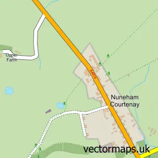
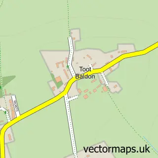
Parish: Toot Baldon CP
Postcode coverage
POI category counts
Pub: 3
Anglican Church: 1
Elementary School: 1
Jewelry Store: 1
Organization: 1
Retail: 1
Social Service Organizations: 1
Sample points of interest
- Marsh Baldon St Peter and Toot Baldon St Lawrence with Nuneham Courtenay
- Marsh Baldon Church of England School
- Ladies Who Lunch
- Dauphin Restoration
- Seven Stars
- Seven Stars
- The Seven Stars at Marsh Baldon
- Bike Support
- Sir William Morris Lodge
Create a larger editable map of Marsh Baldon
This sample shows only a 750 metre area. To create a larger map of Marsh Baldon, use our map builder to choose your own coverage area, add titles and download editable SVG, PDF and PNG files.
Create a custom map of Marsh Baldon