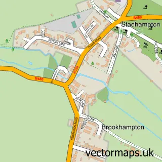
This Chiselhampton street map is a detailed vector street map covering a 750m x 750m area. Select a larger area to create and download your own vector street map of Chiselhampton.
The 750-metre map sample for Chiselhampton covers 62 mapped buildings and approximately 8.3 km of road detail, of which 1 named road are named. The immediate area includes 1 pub and 1 MOT station within 2 miles. The wider area around Chiselhampton features 1 food and drink venue and 1 hotel. To create a larger or custom map of Chiselhampton, the map builder lets you define your own coverage area and download editable SVG, PDF and PNG files.
Create a larger editable map of Chiselhampton
Choose any area you need and generate a high-quality vector map instantly. Perfect for print, planning, design, business and personal use.

This Chiselhampton street map in Oxfordshire is available as downloadable SVG, PDF and PNG map files, or as a printed map for planning, business, display, education, local information and design work. You can also create a larger custom map area using the map selector.
What this Chiselhampton map sample shows
Chiselhampton lies within Stadhampton Cp parish, part of Haseley Brook ward in the South Oxfordshire District local authority area. The postcode geography for this area includes the OX postcode area, the OX44 postcode district and the OX44 7 postcode sector. Residents fall under the Nhs Buckinghamshire, Oxfordshire And Berkshire West Integrated Care Board for NHS services.
Local features near Chiselhampton
Within 2 milesAmenities and services in and around Chiselhampton.
Administrative and postcode information for Chiselhampton
Chiselhampton lies within Stadhampton Cp parish, part of Haseley Brook ward in the South Oxfordshire District local authority area. The postcode geography for this area includes the OX postcode area, the OX44 postcode district and the OX44 7 postcode sector. Residents fall under the Nhs Buckinghamshire, Oxfordshire And Berkshire West Integrated Care Board for NHS services.
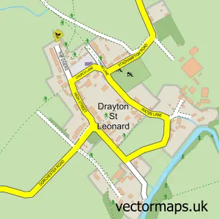
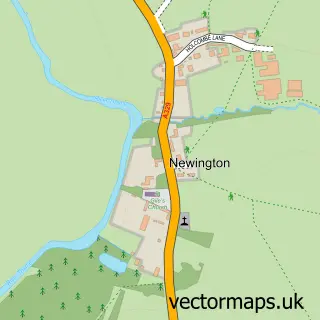
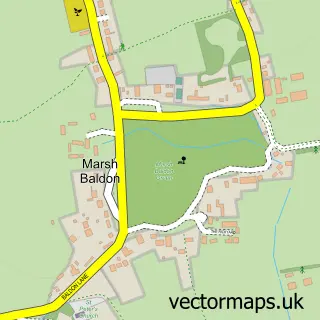
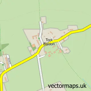
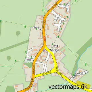
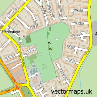
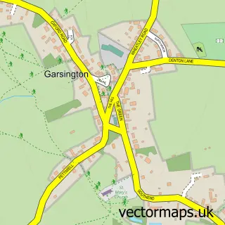
Nearby street map samples around Chiselhampton


More street maps in Oxfordshire
750 metre map area coverage
Boundary, postcode and point of interest information for the 750m x 750m rectangle centred on this sample map.
Boundaries containing map centre
Constituency: Henley and Thame Co Const
County: Oxfordshire County
District: South Oxfordshire District
Icb: NHS Thames Valley ICB
Parish: Stadhampton CP
Police Force: thames valley
Postcode District: OX44
Postcode Sector: OX44 7
Ward: Haseley Brook Ward
Nearby boundaries intersecting sample
No additional intersecting boundaries found.
Postcode coverage
POI category counts
Car Dealer: 2
Professional Services: 2
Art Gallery: 1
Church Cathedral: 1
College University: 1
Hotel: 1
Inn: 1
Marketing Consultant: 1
Photographer: 1
Pub: 1
Sample points of interest
- Berlin Walls Gallery
- Ox Autos Ltd
- Oxford Specialist Cars
- St Katherine's Church
- Uni-Mail
- The Coach & Horses Inn
- Coach & Horses Inn
- Mosaic Marketing And Promotions
- Buymyphoto
- Cube 21
- Digital Blue Incorporated
- Coach & Horses Inn
Create a larger editable map of Chiselhampton
This sample shows only a 750 metre area. To create a larger map of Chiselhampton, use our map builder to choose your own coverage area, add titles and download editable SVG, PDF and PNG files.
Create a custom map of Chiselhampton