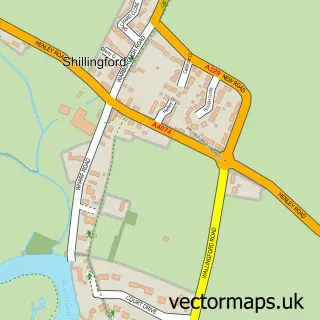
This Drayton St Leonard street map is a detailed vector street map covering a 750m x 750m area. Select a larger area to create and download your own vector street map of Drayton St Leonard.
The 750-metre map sample for Drayton St Leonard covers 130 mapped buildings and approximately 10.3 km of road detail, of which 7 named roads are named. The immediate area includes 1 GP surgery within 2 miles and 2 MOT stations within 2 miles. The wider area around Drayton St Leonard features 1 tourism point of interest. To create a larger or custom map of Drayton St Leonard, the map builder lets you define your own coverage area and download editable SVG, PDF and PNG files.
Create a larger editable map of Drayton St Leonard
Choose any area you need and generate a high-quality vector map instantly. Perfect for print, planning, design, business and personal use.

This Drayton St Leonard street map in Oxfordshire is available as downloadable SVG, PDF and PNG map files, or as a printed map for planning, business, display, education, local information and design work. You can also create a larger custom map area using the map selector.
What this Drayton St Leonard map sample shows
Drayton St Leonard lies within Drayton St. Leonard Cp parish, part of Berinsfield ward in the South Oxfordshire District local authority area. The postcode geography for this area includes the OX postcode area, the OX10 postcode district and the OX10 7 postcode sector. Residents fall under the Nhs Buckinghamshire, Oxfordshire And Berkshire West Integrated Care Board for NHS services.
Local features near Drayton St Leonard
Within 2 milesAmenities and services in and around Drayton St Leonard.
Administrative and postcode information for Drayton St Leonard
Drayton St Leonard lies within Drayton St. Leonard Cp parish, part of Berinsfield ward in the South Oxfordshire District local authority area. The postcode geography for this area includes the OX postcode area, the OX10 postcode district and the OX10 7 postcode sector. Residents fall under the Nhs Buckinghamshire, Oxfordshire And Berkshire West Integrated Care Board for NHS services.
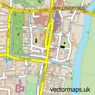
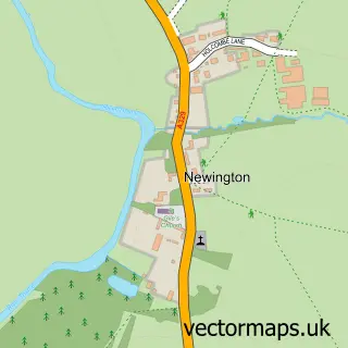
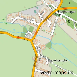
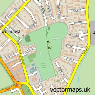
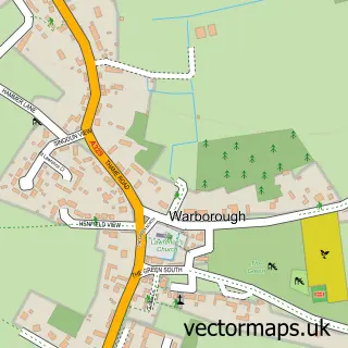
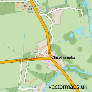
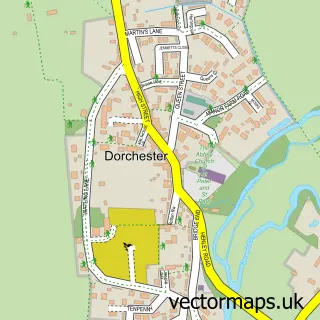
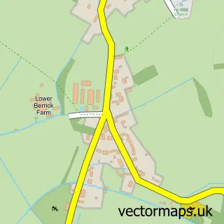
Nearby street map samples around Drayton St Leonard

More street maps in Oxfordshire
750 metre map area coverage
Boundary, postcode and point of interest information for the 750m x 750m rectangle centred on this sample map.
Boundaries containing map centre
Constituency: Henley and Thame Co Const
County: Oxfordshire County
District: South Oxfordshire District
Icb: NHS Thames Valley ICB
Parish: Drayton St. Leonard CP
Police Force: thames valley
Postcode District: OX10
Postcode Sector: OX10 7
Ward: Berinsfield Ward
Nearby boundaries intersecting sample
No additional intersecting boundaries found.
Postcode coverage
POI category counts
Audio Visual Equipment Store: 2
Anglican Church: 1
Carpenter: 1
Chimney Sweep: 1
Church Cathedral: 1
Dog Park: 1
History Museum: 1
Nail Salon: 1
Professional Services: 1
Social Service Organizations: 1
Sample points of interest
- St Leonard and St Catherine, Drayton-St-Leonard
- Event Production Services
- Reed Audio Visual
- Westwood Contracts
- Jem Chimney Sweep
- St Leonard and St Catherine Church
- Paws At Manor Farm
- Aston Martin Heritage Trust
- Willow Cottage Beauty Cabin
- Cyclone Crane Services
- Aston Martin Owners Club
- The Catherine Wheel
Create a larger editable map of Drayton St Leonard
This sample shows only a 750 metre area. To create a larger map of Drayton St Leonard, use our map builder to choose your own coverage area, add titles and download editable SVG, PDF and PNG files.
Create a custom map of Drayton St Leonard