This Sandford-on-Thames street map is a detailed vector street map covering a 750m x 750m area. Select a larger area to create and download your own vector street map of Sandford-on-Thames.
The 750-metre map sample for Sandford-on-Thames covers 138 mapped buildings and approximately 17.1 km of road detail, of which 7 named roads are named. The immediate area includes 3 GP surgeries within 2 miles, 2 pubs and 1 MOT station, with 13 within 2 miles. The wider area around Sandford-on-Thames features 1 tourism point of interest, 6 food and drink venues and 2 hotels. To create a larger or custom map of Sandford-on-Thames, the map builder lets you define your own coverage area and download editable SVG, PDF and PNG files.
Create a larger editable map of Sandford-on-Thames
Choose any area you need and generate a high-quality vector map instantly. Perfect for print, planning, design, business and personal use.

This Sandford-on-Thames street map in Oxfordshire is available as downloadable SVG, PDF and PNG map files, or as a printed map for planning, business, display, education, local information and design work. You can also create a larger custom map area using the map selector.
What this Sandford-on-Thames map sample shows
Sandford-on-Thames lies within Sandford-On-Thames Cp parish, part of Sandford & The Wittenhams ward in the South Oxfordshire District local authority area. The postcode geography for this area includes the OX postcode area, the OX4 postcode district and the OX4 4 postcode sector. Residents fall under the Nhs Buckinghamshire, Oxfordshire And Berkshire West Integrated Care Board for NHS services.
Local features near Sandford-on-Thames
Within 2 milesAmenities and services in and around Sandford-on-Thames.
Administrative and postcode information for Sandford-on-Thames
The local authority covering Sandford-on-Thames is South Oxfordshire District, within the county of Oxfordshire. The settlement lies within Sandford & The Wittenhams ward and Sandford-On-Thames Cp civil parish. The OX4 postcode district and OX4 4 postcode sector serve the immediate area. NHS provision in the area is delivered through Oxford University Hospitals Nhs Foundation Trust.
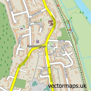
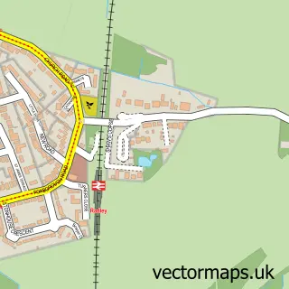
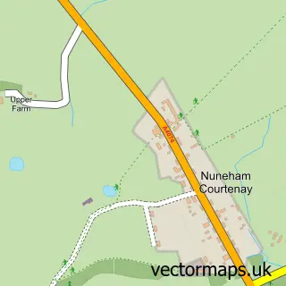
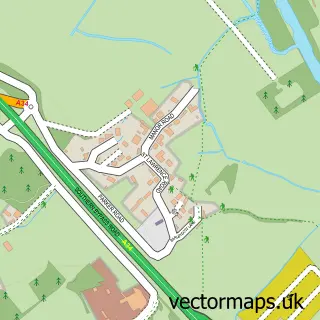
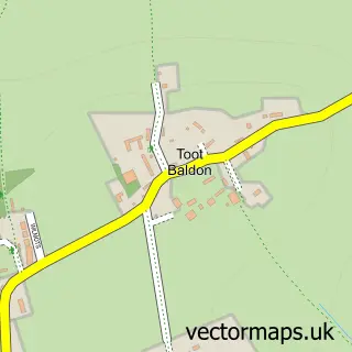
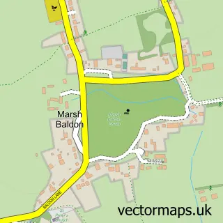
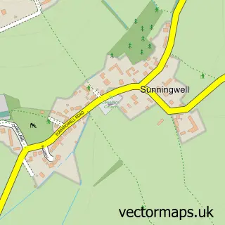
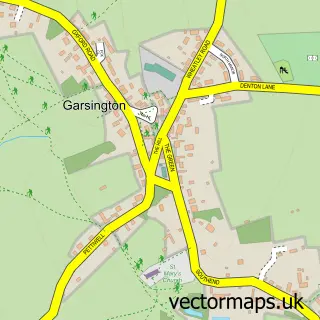
Nearby street map samples around Sandford-on-Thames


More street maps in Oxfordshire
750 metre map area coverage
Boundary, postcode and point of interest information for the 750m x 750m rectangle centred on this sample map.
Boundaries containing map centre
Constituency: Didcot and Wantage Co Const
County: Oxfordshire County
District: South Oxfordshire District
Icb: NHS Thames Valley ICB
Parish: Sandford-on-Thames CP
Police Force: thames valley
Postcode District: OX4
Postcode Sector: OX4 4
Ward: Sandford & the Wittenhams Ward
Nearby boundaries intersecting sample
Constituency: Oxford East Boro Const, Oxford West and Abingdon Co Const
District: Oxford District (B), Vale of White Horse District
Parish: Kennington CP, Littlemore CP
Postcode District: OX1
Postcode Sector: OX1 5
Ward: Kennington & Radley Ward, Littlemore Ward
Postcode coverage
POI category counts
Bakery: 2
Beauty And Spa: 2
Cafe: 2
Hotel: 2
Hvac Services: 2
Pub: 2
Restaurant: 2
Venue And Event Space: 2
Anglican Church: 1
Automotive Repair: 1
Sample points of interest
- Sandford-on-Thames: St Andrew
- T.J Hall and Son Ltd
- Belle & Bon Patisserie
- Sandford Bakery
- The Catherine Wheel
- Natural Look Aesthetics
- Spa Junkie
- Sandford Talking Shop
- Talking Shop - Sandford on Thames
- River Room Restaurant
- St Andrews Church, Sandford on Thames
- Sandford Link
Create a larger editable map of Sandford-on-Thames
This sample shows only a 750 metre area. To create a larger map of Sandford-on-Thames, use our map builder to choose your own coverage area, add titles and download editable SVG, PDF and PNG files.
Create a custom map of Sandford-on-Thames