This Sunningwell street map is a detailed vector street map covering a 750m x 750m area. Select a larger area to create and download your own vector street map of Sunningwell.
The 750-metre map sample for Sunningwell covers 88 mapped buildings and approximately 12.9 km of road detail, of which 5 named roads are named. The immediate area includes 1 GP surgery within 2 miles, 1 pub and 7 MOT stations within 2 miles. The wider area around Sunningwell features 1 tourism point of interest and 1 food and drink venue. To create a larger or custom map of Sunningwell, the map builder lets you define your own coverage area and download editable SVG, PDF and PNG files.
Create a larger editable map of Sunningwell
Choose any area you need and generate a high-quality vector map instantly. Perfect for print, planning, design, business and personal use.

This Sunningwell street map in Oxfordshire is available as downloadable SVG, PDF and PNG map files, or as a printed map for planning, business, display, education, local information and design work. You can also create a larger custom map area using the map selector.
What this Sunningwell map sample shows
Sunningwell lies within Sunningwell Cp parish, part of Botley & Sunningwell ward in the Vale Of White Horse District local authority area. The postcode geography for this area includes the OX postcode area, the OX13 postcode district and the OX13 6 postcode sector. Residents fall under the Nhs Buckinghamshire, Oxfordshire And Berkshire West Integrated Care Board for NHS services.
Local features near Sunningwell
Within 2 milesAmenities and services in and around Sunningwell.
Administrative and postcode information for Sunningwell
Sunningwell lies within Sunningwell Cp parish, part of Botley & Sunningwell ward in the Vale Of White Horse District local authority area. The postcode geography for this area includes the OX postcode area, the OX13 postcode district and the OX13 6 postcode sector. Residents fall under the Nhs Buckinghamshire, Oxfordshire And Berkshire West Integrated Care Board for NHS services.
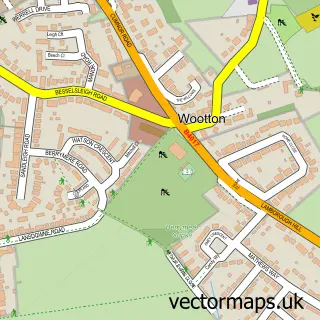
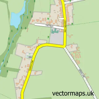
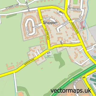
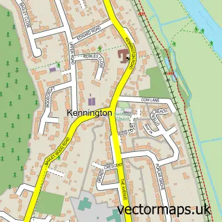
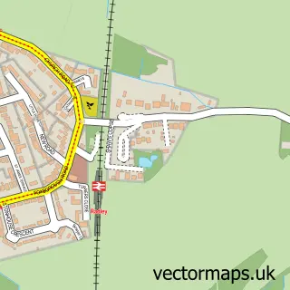
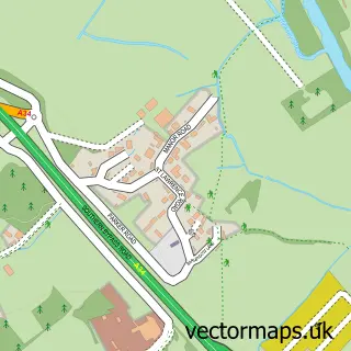
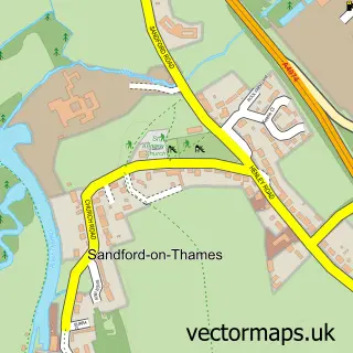
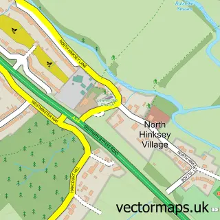
Nearby street map samples around Sunningwell


More street maps in Oxfordshire
750 metre map area coverage
Boundary, postcode and point of interest information for the 750m x 750m rectangle centred on this sample map.
Boundaries containing map centre
Constituency: Oxford West and Abingdon Co Const
County: Oxfordshire County
District: Vale of White Horse District
Icb: NHS Thames Valley ICB
Parish: Sunningwell CP
Police Force: thames valley
Postcode District: OX13
Postcode Sector: OX13 6
Ward: Botley & Sunningwell Ward
Nearby boundaries intersecting sample
Postcode District: OX1
Postcode Sector: OX1 5
Postcode coverage
POI category counts
Anglican Church: 1
Art School: 1
Church Cathedral: 1
Community Center: 1
Counseling And Mental Health: 1
Cricket Ground: 1
Dance School: 1
Elementary School: 1
Event Technology Service: 1
Gym: 1
Sample points of interest
- Sunningwell: St Leonard
- Sunningwell School of Art
- St Leonard's Church
- Sunningwell Village Hall
- This Inner Voice Music Therapy Ltd.
- Sunningwell Cricket Club
- South Oxford Dance Academy
- Sunningwell CofE Primary School
- The Oxford Rosette Company
- TLA Fitness
- Sunningwell Pond
- The Flowing Well
Create a larger editable map of Sunningwell
This sample shows only a 750 metre area. To create a larger map of Sunningwell, use our map builder to choose your own coverage area, add titles and download editable SVG, PDF and PNG files.
Create a custom map of Sunningwell