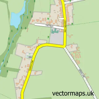
This Shippon street map is a detailed vector street map covering a 750m x 750m area. Select a larger area to create and download your own vector street map of Shippon.
The 750-metre map sample for Shippon covers 211 mapped buildings and approximately 13.0 km of road detail, of which 15 named roads are named. The immediate area includes 1 school, 4 GP surgeries within 2 miles, 1 pub and 11 MOT stations within 2 miles. The wider area around Shippon features 1 food and drink venue. To create a larger or custom map of Shippon, the map builder lets you define your own coverage area and download editable SVG, PDF and PNG files.
Create a larger editable map of Shippon
Choose any area you need and generate a high-quality vector map instantly. Perfect for print, planning, design, business and personal use.

This Shippon street map in Oxfordshire is available as downloadable SVG, PDF and PNG map files, or as a printed map for planning, business, display, education, local information and design work. You can also create a larger custom map area using the map selector.
What this Shippon map sample shows
Shippon lies within St. Helen Without Cp parish, part of Marcham ward in the Vale Of White Horse District local authority area. The postcode geography for this area includes the OX postcode area, the OX13 postcode district and the OX13 6 postcode sector. Residents fall under the Nhs Buckinghamshire, Oxfordshire And Berkshire West Integrated Care Board for NHS services.
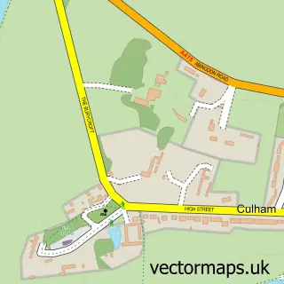
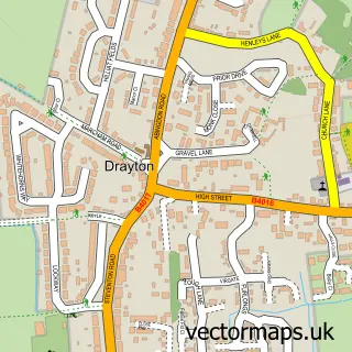
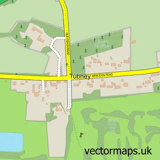
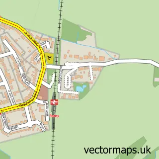
Local features near Shippon
Within 2 milesAmenities and services in and around Shippon.
Administrative and postcode information for Shippon
Shippon lies within St. Helen Without Cp parish, part of Marcham ward in the Vale Of White Horse District local authority area. The postcode geography for this area includes the OX postcode area, the OX13 postcode district and the OX13 6 postcode sector. Residents fall under the Nhs Buckinghamshire, Oxfordshire And Berkshire West Integrated Care Board for NHS services.
Nearby street map samples around Shippon


More street maps in Oxfordshire
750 metre map area coverage
Boundary, postcode and point of interest information for the 750m x 750m rectangle centred on this sample map.
Boundaries containing map centre
Constituency: Oxford West and Abingdon Co Const
County: Oxfordshire County
District: Vale of White Horse District
Icb: NHS Thames Valley ICB
Parish: St. Helen Without CP
Police Force: thames valley
Postcode District: OX13
Postcode Sector: OX13 6
Ward: Marcham Ward
Nearby boundaries intersecting sample
Parish: Abingdon on Thames CP
Postcode District: OX14
Postcode Sector: OX14 1
Ward: Abingdon Fitzharris Ward
Postcode coverage
POI category counts
Tax Services: 2
Armed Forces Branch: 1
Bed And Breakfast: 1
Building Contractor: 1
Church Cathedral: 1
Cleaning Services: 1
Contractor: 1
Private School: 1
Pub: 1
Retirement Home: 1
Sample points of interest
- Dalton Bks, Abingdon
- The White House
- J D C Construction Ltd.
- St Mary Magdalene Church
- Shiny Tops
- JDC Construction
- The Manor Preparatory School
- The Feathers -Prince of Wales
- Stowford House Care Home
- Form to Profit
- Sara Wilson
- Sara Wilson Taxation Services
Create a larger editable map of Shippon
This sample shows only a 750 metre area. To create a larger map of Shippon, use our map builder to choose your own coverage area, add titles and download editable SVG, PDF and PNG files.
Create a custom map of Shippon