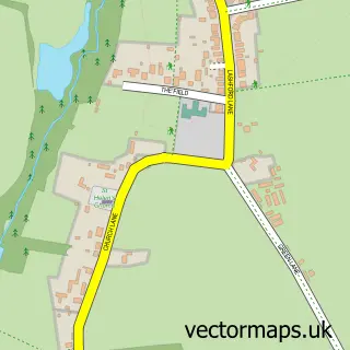
This Wootton street map is a detailed vector street map covering a 750m x 750m area. Select a larger area to create and download your own vector street map of Wootton.
The 750-metre map sample for Wootton covers 451 mapped buildings and approximately 24.2 km of road detail, of which 23 named roads are named. The immediate area includes 1 pub and 3 MOT stations within 2 miles. The wider area around Wootton features 1 tourism point of interest and 1 food and drink venue. To create a larger or custom map of Wootton, the map builder lets you define your own coverage area and download editable SVG, PDF and PNG files.
Create a larger editable map of Wootton
Choose any area you need and generate a high-quality vector map instantly. Perfect for print, planning, design, business and personal use.

This Wootton street map in Oxfordshire is available as downloadable SVG, PDF and PNG map files, or as a printed map for planning, business, display, education, local information and design work. You can also create a larger custom map area using the map selector.
What this Wootton map sample shows
Wootton lies within Wootton Cp parish, part of Wootton ward in the Vale Of White Horse District local authority area. The postcode geography for this area includes the OX postcode area, the OX1 postcode district and the OX1 5 postcode sector. Residents fall under the Nhs Buckinghamshire, Oxfordshire And Berkshire West Integrated Care Board for NHS services.
Local features near Wootton
Within 2 milesAmenities and services in and around Wootton.
Administrative and postcode information for Wootton
Wootton lies within Wootton Cp parish, part of Wootton ward in the Vale Of White Horse District local authority area. The postcode geography for this area includes the OX postcode area, the OX1 postcode district and the OX1 5 postcode sector. Residents fall under the Nhs Buckinghamshire, Oxfordshire And Berkshire West Integrated Care Board for NHS services.
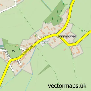
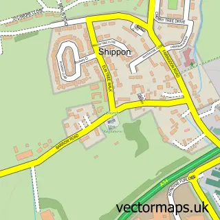
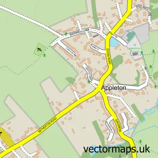
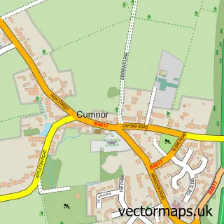
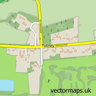
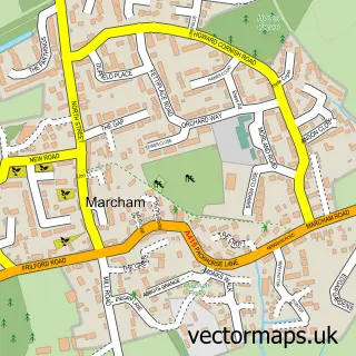
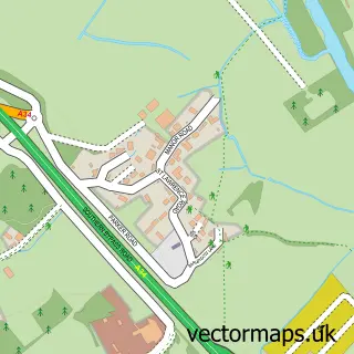
Nearby street map samples around Wootton


More street maps in Oxfordshire
750 metre map area coverage
Boundary, postcode and point of interest information for the 750m x 750m rectangle centred on this sample map.
Boundaries containing map centre
Constituency: Oxford West and Abingdon Co Const
County: Oxfordshire County
District: Vale of White Horse District
Icb: NHS Thames Valley ICB
Parish: Wootton CP
Police Force: thames valley
Postcode District: OX13
Postcode Sector: OX13 6
Ward: Wootton Ward
Nearby boundaries intersecting sample
Parish: St. Helen Without CP
Postcode District: OX1
Postcode Sector: OX1 5
Postcode coverage
POI category counts
Contractor: 4
Electrician: 4
Building Supply Store: 3
Post Office: 3
Convenience Store: 2
Dentist: 2
Dog Trainer: 2
Financial Service: 2
Florist: 2
Grocery Store: 2
Sample points of interest
- Brazilian Soccer Schools
- Oxfordshire Chauffeurs
- St Peter's Wootton
- Midcounties Co-Op Besselsleigh, Wooton
- Sloper Electrical Services
- Cloud Cake
- Barber 87
- Fit and Healthy Mums
- MDB Services
- Manor Flooring
- Oxford Fireplace Centre
- Synth-Isis
Create a larger editable map of Wootton
This sample shows only a 750 metre area. To create a larger map of Wootton, use our map builder to choose your own coverage area, add titles and download editable SVG, PDF and PNG files.
Create a custom map of Wootton