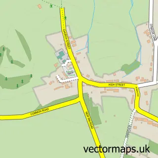
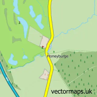
This Stanton St John street map is a detailed vector street map covering a 750m x 750m area. Select a larger area to create and download your own vector street map of Stanton St John.
The 750-metre map sample for Stanton St John covers 140 mapped buildings and approximately 13.5 km of road detail, of which 10 named roads are named. The immediate area includes 4 pubs and 1 MOT station within 2 miles. The wider area around Stanton St John features 4 food and drink venues. To create a larger or custom map of Stanton St John, the map builder lets you define your own coverage area and download editable SVG, PDF and PNG files.
Create a larger editable map of Stanton St John
Choose any area you need and generate a high-quality vector map instantly. Perfect for print, planning, design, business and personal use.

This Stanton St John street map in Oxfordshire is available as downloadable SVG, PDF and PNG map files, or as a printed map for planning, business, display, education, local information and design work. You can also create a larger custom map area using the map selector.
What this Stanton St John map sample shows
Stanton St John lies within Stanton St. John Cp parish, part of Forest Hill & Holton ward in the South Oxfordshire District local authority area. The postcode geography for this area includes the OX postcode area, the OX33 postcode district and the OX33 1 postcode sector. Residents fall under the Nhs Buckinghamshire, Oxfordshire And Berkshire West Integrated Care Board for NHS services.
Local features near Stanton St John
Within 2 milesAmenities and services in and around Stanton St John.
Administrative and postcode information for Stanton St John
The local authority covering Stanton St John is South Oxfordshire District, within the county of Oxfordshire. The settlement lies within Forest Hill & Holton ward and Stanton St. John Cp civil parish. The OX33 postcode district and OX33 1 postcode sector serve the immediate area. NHS provision in the area is delivered through Oxford University Hospitals Nhs Foundation Trust.
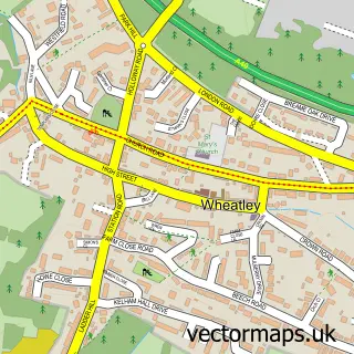
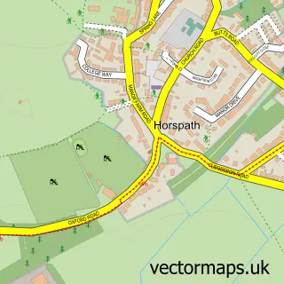
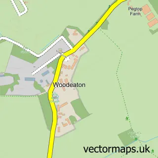
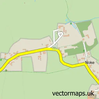
Nearby street map samples around Stanton St John

More street maps in Oxfordshire
750 metre map area coverage
Boundary, postcode and point of interest information for the 750m x 750m rectangle centred on this sample map.
Boundaries containing map centre
Constituency: Henley and Thame Co Const
County: Oxfordshire County
District: South Oxfordshire District
Icb: NHS Thames Valley ICB
Parish: Stanton St. John CP
Police Force: thames valley
Postcode District: OX33
Postcode Sector: OX33 1
Ward: Forest Hill & Holton Ward
Nearby boundaries intersecting sample
No additional intersecting boundaries found.
Postcode coverage
POI category counts
Pub: 4
Counseling And Mental Health: 2
Acupuncture: 1
Anglican Church: 1
Arts And Entertainment: 1
Church Cathedral: 1
Computer Hardware Company: 1
Convenience Store: 1
Ev Charging Station: 1
Grocery Store: 1
Sample points of interest
- Louanne Richards Acupuncture
- St John the Baptist, Stanton St John
- Stanton St John
- Stanton House Christian Retreat Centre
- Oxford PC Repairs
- The Village Shop - Stanton St John
- Think 2 Win
- Tom Goss
- Stanton St John Village Hall
- Stanton St John Village Shop
- HPG Solutions Ltd.
- The Star Inn
Create a larger editable map of Stanton St John
This sample shows only a 750 metre area. To create a larger map of Stanton St John, use our map builder to choose your own coverage area, add titles and download editable SVG, PDF and PNG files.
Create a custom map of Stanton St John