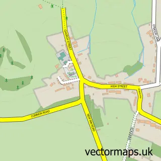
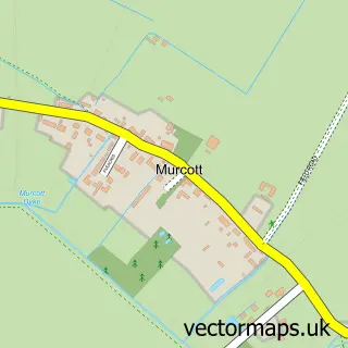
This Noke street map is a detailed vector street map covering a 750m x 750m area. Select a larger area to create and download your own vector street map of Noke.
The 750-metre map sample for Noke covers 63 mapped buildings and approximately 5.8 km of road detail. The immediate area includes 1 GP surgery within 2 miles and 1 MOT station within 2 miles. To create a larger or custom map of Noke, the map builder lets you define your own coverage area and download editable SVG, PDF and PNG files.
Create a larger editable map of Noke
Choose any area you need and generate a high-quality vector map instantly. Perfect for print, planning, design, business and personal use.

This Noke street map in Oxfordshire is available as downloadable SVG, PDF and PNG map files, or as a printed map for planning, business, display, education, local information and design work. You can also create a larger custom map area using the map selector.
What this Noke map sample shows
Noke lies within Noke Cp parish, part of Launton And Otmoor ward in the Cherwell District local authority area. The postcode geography for this area includes the OX postcode area, the OX3 postcode district and the OX3 9 postcode sector. Residents fall under the Nhs Buckinghamshire, Oxfordshire And Berkshire West Integrated Care Board for NHS services.
Local features near Noke
Within 2 milesAmenities and services in and around Noke.
Administrative and postcode information for Noke
The local authority covering Noke is Cherwell District, within the county of Oxfordshire. The settlement lies within Launton And Otmoor ward and Noke Cp civil parish. The OX3 postcode district and OX3 9 postcode sector serve the immediate area. NHS provision in the area is delivered through Oxford University Hospitals Nhs Foundation Trust.
Nearby street map samples around Noke

More street maps in Oxfordshire
750 metre map area coverage
Boundary, postcode and point of interest information for the 750m x 750m rectangle centred on this sample map.
Boundaries containing map centre
Constituency: Bicester and Woodstock Co Const
County: Oxfordshire County
District: Cherwell District
Icb: NHS Thames Valley ICB
Parish: Noke CP
Police Force: thames valley
Postcode District: OX3
Postcode Sector: OX3 9
Ward: Launton & Otmoor Ward
Nearby boundaries intersecting sample
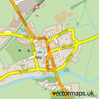
Parish: Islip CP
Postcode coverage
POI category counts
Anglican Church: 1
Beauty Salon: 1
Property Management: 1
Sports Club And League: 1
Sample points of interest
- Noke: St Giles
- Adriana Reges Beauty Hair
- Inspired Restorations
- Oxford City Tennis Club
Create a larger editable map of Noke
This sample shows only a 750 metre area. To create a larger map of Noke, use our map builder to choose your own coverage area, add titles and download editable SVG, PDF and PNG files.
Create a custom map of Noke