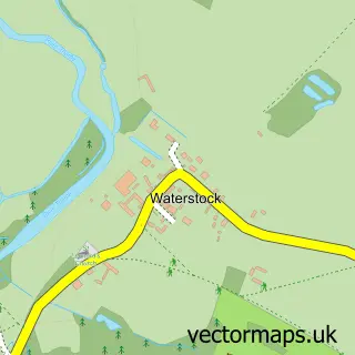
This Wheatley street map is a detailed vector street map covering a 750m x 750m area. Select a larger area to create and download your own vector street map of Wheatley.
The 750-metre map sample for Wheatley covers 418 mapped buildings and approximately 31.9 km of road detail, of which 33 named roads are named. The immediate area includes 1 GP surgery, 3 pubs and 2 MOT stations, with 7 within 2 miles. The wider area around Wheatley features 1 tourism point of interest, 4 food and drink venues and 1 campsite within 2 miles. To create a larger or custom map of Wheatley, the map builder lets you define your own coverage area and download editable SVG, PDF and PNG files.
Create a larger editable map of Wheatley
Choose any area you need and generate a high-quality vector map instantly. Perfect for print, planning, design, business and personal use.

This Wheatley street map in Oxfordshire is available as downloadable SVG, PDF and PNG map files, or as a printed map for planning, business, display, education, local information and design work. You can also create a larger custom map area using the map selector.
What this Wheatley map sample shows
Wheatley lies within Wheatley Cp parish, part of Wheatley ward in the South Oxfordshire District local authority area. The postcode geography for this area includes the OX postcode area, the OX33 postcode district and the OX33 1 postcode sector. Residents fall under the Nhs Buckinghamshire, Oxfordshire And Berkshire West Integrated Care Board for NHS services.
Local features near Wheatley
Within 2 milesAmenities and services in and around Wheatley.
Administrative and postcode information for Wheatley
The local authority covering Wheatley is South Oxfordshire District, within the county of Oxfordshire. The settlement lies within Wheatley ward and Wheatley Cp civil parish. The OX33 postcode district and OX33 1 postcode sector serve the immediate area. NHS provision in the area is delivered through Oxford University Hospitals Nhs Foundation Trust.
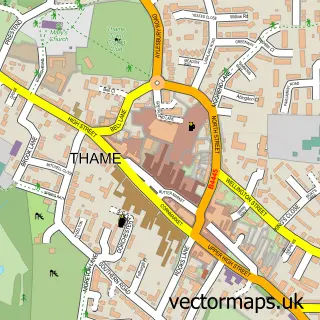
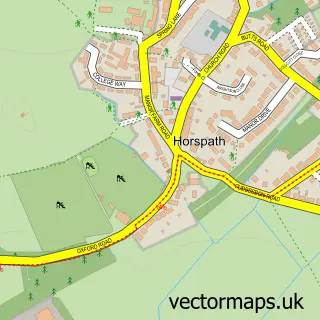
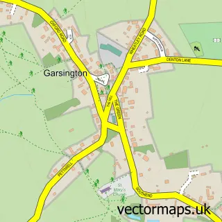
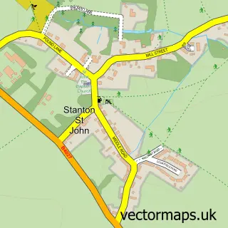
Nearby street map samples around Wheatley


More street maps in Oxfordshire
750 metre map area coverage
Boundary, postcode and point of interest information for the 750m x 750m rectangle centred on this sample map.
Boundaries containing map centre
Constituency: Henley and Thame Co Const
County: Oxfordshire County
District: South Oxfordshire District
Icb: NHS Thames Valley ICB
Parish: Wheatley CP
Police Force: thames valley
Postcode District: OX33
Postcode Sector: OX33 1
Ward: Wheatley Ward
Nearby boundaries intersecting sample
Parish: Holton CP
Ward: Forest Hill & Holton Ward
Postcode coverage
POI category counts
Hair Salon: 5
Professional Services: 4
Advertising Agency: 3
Antique Store: 3
Beauty Salon: 3
Pharmacy: 3
Pub: 3
Real Estate Agent: 3
Anglican Church: 2
Automotive Repair: 2
Sample points of interest
- K K Bookkeeping Services
- Big Idea
- Mosaic Marketing & Promotions
- Tbi Communications
- Oxfordshire Weight Loss
- St Mary the Virgin Church
- St Mary the Virgin, Wheatley
- Barnes & Bridge
- Country Collections
- Country Collections
- Anderson Orr Partnership
- Tripp Hearing
Create a larger editable map of Wheatley
This sample shows only a 750 metre area. To create a larger map of Wheatley, use our map builder to choose your own coverage area, add titles and download editable SVG, PDF and PNG files.
Create a custom map of Wheatley