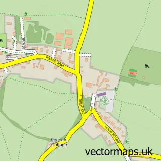
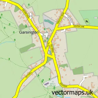
This Great Milton street map is a detailed vector street map covering a 750m x 750m area. Select a larger area to create and download your own vector street map of Great Milton.
The 750-metre map sample for Great Milton covers 200 mapped buildings and approximately 12.4 km of road detail, of which 9 named roads are named. The immediate area includes 1 school, 1 pub and 5 MOT stations within 2 miles. The wider area around Great Milton features 1 food and drink venue. To create a larger or custom map of Great Milton, the map builder lets you define your own coverage area and download editable SVG, PDF and PNG files.
Create a larger editable map of Great Milton
Choose any area you need and generate a high-quality vector map instantly. Perfect for print, planning, design, business and personal use.

This Great Milton street map in Oxfordshire is available as downloadable SVG, PDF and PNG map files, or as a printed map for planning, business, display, education, local information and design work. You can also create a larger custom map area using the map selector.
What this Great Milton map sample shows
Great Milton lies within Great Milton Cp parish, part of Haseley Brook ward in the South Oxfordshire District local authority area. The postcode geography for this area includes the OX postcode area, the OX44 postcode district and the OX44 7 postcode sector. Residents fall under the Nhs Buckinghamshire, Oxfordshire And Berkshire West Integrated Care Board for NHS services.
Local features near Great Milton
Within 2 milesAmenities and services in and around Great Milton.
Administrative and postcode information for Great Milton
Great Milton lies within Great Milton Cp parish, part of Haseley Brook ward in the South Oxfordshire District local authority area. The postcode geography for this area includes the OX postcode area, the OX44 postcode district and the OX44 7 postcode sector. Residents fall under the Nhs Buckinghamshire, Oxfordshire And Berkshire West Integrated Care Board for NHS services.
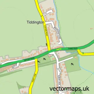
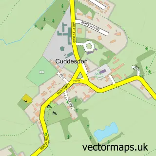
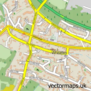
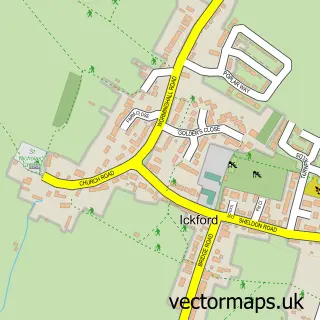
Nearby street map samples around Great Milton
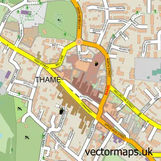

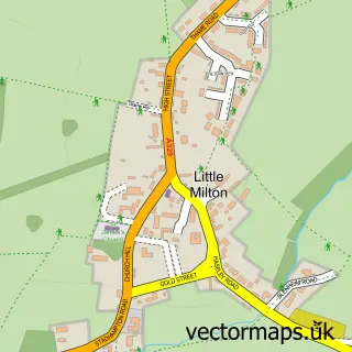
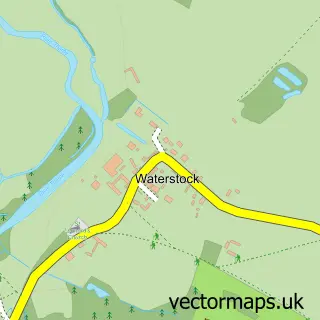
More street maps in Oxfordshire
750 metre map area coverage
Boundary, postcode and point of interest information for the 750m x 750m rectangle centred on this sample map.
Boundaries containing map centre
Constituency: Henley and Thame Co Const
County: Oxfordshire County
District: South Oxfordshire District
Icb: NHS Thames Valley ICB
Parish: Great Milton CP
Police Force: thames valley
Postcode District: OX44
Postcode Sector: OX44 7
Ward: Haseley Brook Ward
Nearby boundaries intersecting sample
No additional intersecting boundaries found.
Postcode coverage
POI category counts
Elementary School: 2
Post Office: 2
Accountant: 1
Advertising Agency: 1
Business Management Services: 1
Cleaning Services: 1
Community Services Non Profits: 1
Employment Agencies: 1
Gym: 1
Hair Salon: 1
Sample points of interest
- Andy Walton & Co. Management Accounts
- Gainey Erwood Associates
- Adexchange
- Help Home Management
- Great Milton Recreation Ground Committee
- Great Milton C of E Primary School
- Great Milton C of E Primary School
- Mrk Associates
- Yoga Lizard
- Sisters Edge Ltd
- Garsington Opera
- Great Milton Post Office and Stores
Create a larger editable map of Great Milton
This sample shows only a 750 metre area. To create a larger map of Great Milton, use our map builder to choose your own coverage area, add titles and download editable SVG, PDF and PNG files.
Create a custom map of Great Milton