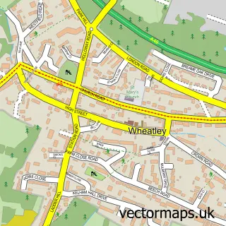
This Ickford street map is a detailed vector street map covering a 750m x 750m area. Select a larger area to create and download your own vector street map of Ickford.
The 750-metre map sample for Ickford covers 251 mapped buildings and approximately 13.6 km of road detail, of which 9 named roads are named. The immediate area includes 1 school and 1 MOT station within 2 miles. To create a larger or custom map of Ickford, the map builder lets you define your own coverage area and download editable SVG, PDF and PNG files.
Create a larger editable map of Ickford
Choose any area you need and generate a high-quality vector map instantly. Perfect for print, planning, design, business and personal use.

This Ickford street map in Buckinghamshire is available as downloadable SVG, PDF and PNG map files, or as a printed map for planning, business, display, education, local information and design work. You can also create a larger custom map area using the map selector.
What this Ickford map sample shows
Ickford lies within Ickford Cp parish, part of Oakley ward in the Buckinghamshire local authority area. The postcode geography for this area includes the HP postcode area, the HP18 postcode district and the HP18 9 postcode sector. Residents fall under the Nhs Buckinghamshire, Oxfordshire And Berkshire West Integrated Care Board for NHS services.
Local features near Ickford
Within 2 milesAmenities and services in and around Ickford.
Administrative and postcode information for Ickford
Ickford lies within Ickford Cp parish, part of Oakley ward in the Buckinghamshire local authority area. The postcode geography for this area includes the HP postcode area, the HP18 postcode district and the HP18 9 postcode sector. Residents fall under the Nhs Buckinghamshire, Oxfordshire And Berkshire West Integrated Care Board for NHS services.
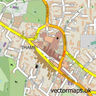
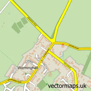
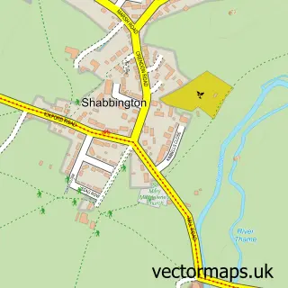
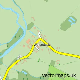
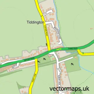
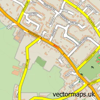
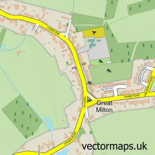
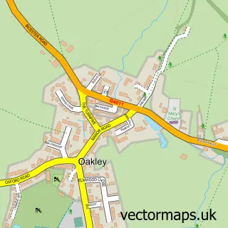
Nearby street map samples around Ickford

More street maps in Buckinghamshire
750 metre map area coverage
Boundary, postcode and point of interest information for the 750m x 750m rectangle centred on this sample map.
Boundaries containing map centre
Constituency: Mid Buckinghamshire Co Const
District: Buckinghamshire
Icb: NHS Thames Valley ICB
Parish: Ickford CP
Police Force: thames valley
Postcode District: HP18
Postcode Sector: HP18 9
Ward: Long Crendon Ward
Nearby boundaries intersecting sample
No additional intersecting boundaries found.
Postcode coverage
POI category counts
Arts And Entertainment: 2
Post Office: 2
Preschool: 2
Advertising Agency: 1
Anglican Church: 1
Bar: 1
Building Supply Store: 1
Car Dealer: 1
Community Center: 1
Contractor: 1
Sample points of interest
- Systec Consultants
- St Nicholas
- Heather Moulding Art
- Joy Hawes Watercolours
- The Rising Sun
- Thame Roofing
- Foxten Autos Ltd
- Ickford Village Hall
- Phoenix Concrete
- Roberts & Sheppey Melrose
- Otmoor Electrical Ltd
- Ickford Combined School
Create a larger editable map of Ickford
This sample shows only a 750 metre area. To create a larger map of Ickford, use our map builder to choose your own coverage area, add titles and download editable SVG, PDF and PNG files.
Create a custom map of Ickford