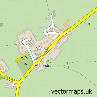
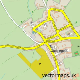
This Chilton street map is a detailed vector street map covering a 750m x 750m area. Select a larger area to create and download your own vector street map of Chilton.
The 750-metre map sample for Chilton covers 89 mapped buildings and approximately 11.9 km of road detail, of which 6 named roads are named. The immediate area includes 1 pub and 2 MOT stations within 2 miles. The wider area around Chilton features 1 food and drink venue. To create a larger or custom map of Chilton, the map builder lets you define your own coverage area and download editable SVG, PDF and PNG files.
Create a larger editable map of Chilton
Choose any area you need and generate a high-quality vector map instantly. Perfect for print, planning, design, business and personal use.

This Chilton street map in Buckinghamshire is available as downloadable SVG, PDF and PNG map files, or as a printed map for planning, business, display, education, local information and design work. You can also create a larger custom map area using the map selector.
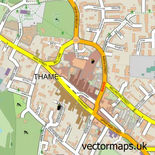
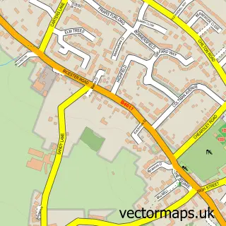
What this Chilton map sample shows
Chilton lies within Chilton Cp parish, part of Long Crendon ward in the Buckinghamshire local authority area. The postcode geography for this area includes the HP postcode area, the HP18 postcode district and the HP18 9 postcode sector. Residents fall under the Nhs Buckinghamshire, Oxfordshire And Berkshire West Integrated Care Board for NHS services.
Local features near Chilton
Within 2 milesAmenities and services in and around Chilton.
Administrative and postcode information for Chilton
Chilton lies within Chilton Cp parish, part of Long Crendon ward in the Buckinghamshire local authority area. The postcode geography for this area includes the HP postcode area, the HP18 postcode district and the HP18 9 postcode sector. Residents fall under the Nhs Buckinghamshire, Oxfordshire And Berkshire West Integrated Care Board for NHS services.
Nearby street map samples around Chilton

More street maps in Buckinghamshire
750 metre map area coverage
Boundary, postcode and point of interest information for the 750m x 750m rectangle centred on this sample map.
Boundaries containing map centre
Constituency: Mid Buckinghamshire Co Const
District: Buckinghamshire
Icb: NHS Thames Valley ICB
Parish: Chilton CP
Police Force: thames valley
Postcode District: HP18
Postcode Sector: HP18 9
Ward: Long Crendon Ward
Nearby boundaries intersecting sample
No additional intersecting boundaries found.
Postcode coverage
POI category counts
Marketing Consultant: 4
Advertising Agency: 3
Professional Services: 2
Property Management: 2
Anglican Church: 1
Banks: 1
Business Consulting: 1
Ev Charging Station: 1
Home Health Care: 1
Insurance Agency: 1
Sample points of interest
- Cognesia
- JVS Export UK
- WrightObara
- Chilton: St Mary the Virgin
- Lloyds Bank
- F M I
- Chilton Business Centre
- Chilton House Ltd.
- NFU Mutual Aylesbury and Chilton
- Stream Comms
- Solid Solutions - SolidWorks In Haddenham
- Stream Comms
Create a larger editable map of Chilton
This sample shows only a 750 metre area. To create a larger map of Chilton, use our map builder to choose your own coverage area, add titles and download editable SVG, PDF and PNG files.
Create a custom map of Chilton