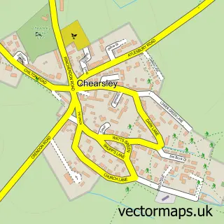
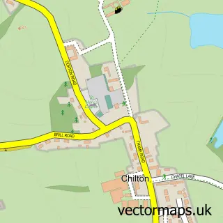
This Cuddington street map is a detailed vector street map covering a 750m x 750m area. Select a larger area to create and download your own vector street map of Cuddington.
The 750-metre map sample for Cuddington covers 219 mapped buildings and approximately 17.9 km of road detail, of which 16 named roads are named. The immediate area includes 1 school, 1 GP surgery within 2 miles, 1 pub and 1 MOT station within 2 miles. The wider area around Cuddington features 1 food and drink venue. To create a larger or custom map of Cuddington, the map builder lets you define your own coverage area and download editable SVG, PDF and PNG files.
Create a larger editable map of Cuddington
Choose any area you need and generate a high-quality vector map instantly. Perfect for print, planning, design, business and personal use.

This Cuddington street map in Buckinghamshire is available as downloadable SVG, PDF and PNG map files, or as a printed map for planning, business, display, education, local information and design work. You can also create a larger custom map area using the map selector.
What this Cuddington map sample shows
Cuddington lies within Cuddington Cp parish, part of Haddenham & Stone ward in the Buckinghamshire local authority area. The postcode geography for this area includes the HP postcode area, the HP18 postcode district and the HP18 0 postcode sector. Residents fall under the Nhs Buckinghamshire, Oxfordshire And Berkshire West Integrated Care Board for NHS services.
Local features near Cuddington
Within 2 milesAmenities and services in and around Cuddington.
Administrative and postcode information for Cuddington
Cuddington lies within Cuddington Cp parish, part of Haddenham & Stone ward in the Buckinghamshire local authority area. The postcode geography for this area includes the HP postcode area, the HP18 postcode district and the HP18 0 postcode sector. Residents fall under the Nhs Buckinghamshire, Oxfordshire And Berkshire West Integrated Care Board for NHS services.
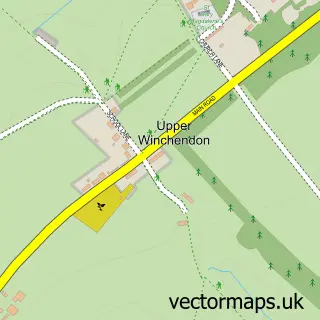
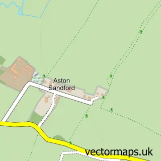
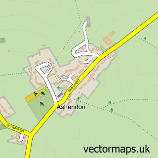
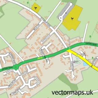
Nearby street map samples around Cuddington

More street maps in Buckinghamshire
750 metre map area coverage
Boundary, postcode and point of interest information for the 750m x 750m rectangle centred on this sample map.
Boundaries containing map centre
Constituency: Mid Buckinghamshire Co Const
District: Buckinghamshire
Icb: NHS Thames Valley ICB
Parish: Cuddington CP
Police Force: thames valley
Postcode District: HP18
Postcode Sector: HP18 0
Ward: Haddenham & Stone Ward
Nearby boundaries intersecting sample
No additional intersecting boundaries found.
Postcode coverage
POI category counts
Church Cathedral: 2
Anglican Church: 1
Art Gallery: 1
Beauty And Spa: 1
Beauty Salon: 1
Bike Repair Maintenance: 1
Business Consulting: 1
Campus Building: 1
Cinema: 1
College University: 1
Sample points of interest
- Cuddington: St Nicholas
- Dadbrook Gallery
- Dermis & Flor
- Oasis Micropigmentation and Beauty
- Bucks Cycle Repair
- S-Cope
- Cuddington C of E School
- Saint Nicholas Church
- St Nicholas Church
- The Village Picture House Cuddington
- Animal Therapy
- International Association of Animal Therapists
Create a larger editable map of Cuddington
This sample shows only a 750 metre area. To create a larger map of Cuddington, use our map builder to choose your own coverage area, add titles and download editable SVG, PDF and PNG files.
Create a custom map of Cuddington