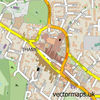
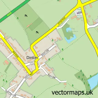
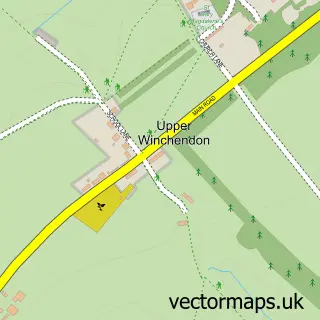
This Haddenham street map is a detailed vector street map covering a 750m x 750m area. Select a larger area to create and download your own vector street map of Haddenham.
The 750-metre map sample for Haddenham covers 556 mapped buildings and approximately 34.7 km of road detail, of which 40 named roads are named. The immediate area includes 1 GP surgery within 2 miles, 2 pubs and 1 MOT station. The wider area around Haddenham features 3 tourism points of interest and 6 food and drink venues. To create a larger or custom map of Haddenham, the map builder lets you define your own coverage area and download editable SVG, PDF and PNG files.
Create a larger editable map of Haddenham
Choose any area you need and generate a high-quality vector map instantly. Perfect for print, planning, design, business and personal use.

This Haddenham street map in Buckinghamshire is available as downloadable SVG, PDF and PNG map files, or as a printed map for planning, business, display, education, local information and design work. You can also create a larger custom map area using the map selector.
What this Haddenham map sample shows
Haddenham lies within Haddenham Cp parish, part of Haddenham & Stone ward in the Buckinghamshire local authority area. The postcode geography for this area includes the HP postcode area, the HP17 postcode district and the HP17 8 postcode sector. Residents fall under the Nhs Buckinghamshire, Oxfordshire And Berkshire West Integrated Care Board for NHS services.
Local features near Haddenham
Within 2 milesAmenities and services in and around Haddenham.
Administrative and postcode information for Haddenham
The local authority covering Haddenham is Buckinghamshire, within the county of Buckinghamshire. The settlement lies within Haddenham & Stone ward and Haddenham Cp civil parish. The HP17 postcode district and HP17 8 postcode sector serve the immediate area. NHS provision in the area is delivered through Buckinghamshire Healthcare Nhs Trust.
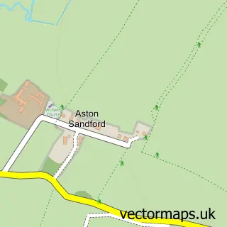
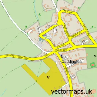
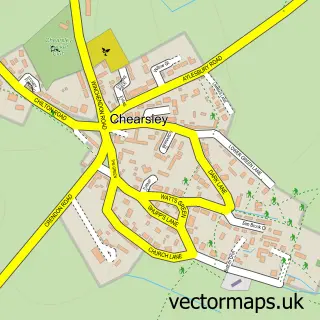
Nearby street map samples around Haddenham

More street maps in Buckinghamshire
750 metre map area coverage
Boundary, postcode and point of interest information for the 750m x 750m rectangle centred on this sample map.
Boundaries containing map centre
Constituency: Mid Buckinghamshire Co Const
District: Buckinghamshire
Icb: NHS Thames Valley ICB
Parish: Haddenham CP
Police Force: thames valley
Postcode District: HP17
Postcode Sector: HP17 8
Ward: Haddenham & Stone Ward
Nearby boundaries intersecting sample
No additional intersecting boundaries found.
Postcode coverage
POI category counts
Church Cathedral: 4
Advertising Agency: 3
Beauty Salon: 2
Building Supply Store: 2
Cafe: 2
Contractor: 2
It Service And Computer Repair: 2
Park: 2
Parking: 2
Professional Services: 2
Sample points of interest
- Core Business Services
- Eyres & Eyres Communications
- Manan
- Stonehill House
- P C Fix Haddenham
- The Cottage Bakery
- Haddenham Baptist Church
- Hewitt's Barber Shop
- Angela and Nicola Cox Holistic Health and Beauty Therapy
- Clinicola Aesthetics
- New Hadden Bed And Breakfast
- Phoenix Cycles
Create a larger editable map of Haddenham
This sample shows only a 750 metre area. To create a larger map of Haddenham, use our map builder to choose your own coverage area, add titles and download editable SVG, PDF and PNG files.
Create a custom map of Haddenham