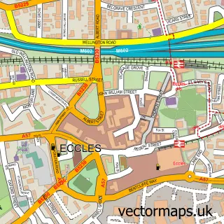
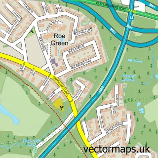
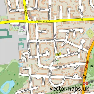
This Manchester street map is a detailed vector street map covering a 750m x 750m area. Select a larger area to create and download your own vector street map of Manchester.
The 750-metre map sample for Manchester covers 156 mapped buildings and approximately 32.2 km of road detail, of which 104 named roads are named. The immediate area includes 1 school, 1 railway station, 1 GP surgery, with 25 within 2 miles and 42 pubs among other local services. The wider area around Manchester features 34 tourism points of interest, 177 food and drink venues and 31 hotels. To create a larger or custom map of Manchester, the map builder lets you define your own coverage area and download editable SVG, PDF and PNG files.
Create a larger editable map of Manchester
Choose any area you need and generate a high-quality vector map instantly. Perfect for print, planning, design, business and personal use.

This Manchester street map in Greater Manchester is available as downloadable SVG, PDF and PNG map files, or as a printed map for planning, business, display, education, local information and design work. You can also create a larger custom map area using the map selector.
What this Manchester map sample shows
Manchester lies within Manchester District (B) parish, part of Hulme ward in the Manchester District (B) local authority area. The postcode geography for this area includes the M postcode area, the M15 postcode district and the M15 6 postcode sector. Residents fall under the Nhs Greater Manchester Integrated Care Board for NHS services.
Local features near Manchester
Within 2 milesAmenities and services in and around Manchester.
Administrative and postcode information for Manchester
The local authority covering Manchester is Manchester District (B), within the county of Greater Manchester. The settlement lies within Hulme ward and Manchester District (B) civil parish. The M15 postcode district and M15 6 postcode sector serve the immediate area. NHS provision in the area is delivered through Manchester University Nhs Foundation Trust.
Nearby street map samples around Manchester

More street maps in Greater Manchester

750 metre map area coverage
Boundary, postcode and point of interest information for the 750m x 750m rectangle centred on this sample map.
Boundaries containing map centre
Constituency: Manchester Central Boro Const
District: Manchester District (B)
Icb: NHS Greater Manchester ICB
Police Force: greater manchester
Postcode District: M2
Postcode Sector: M2 5
Ward: Deansgate Ward
Nearby boundaries intersecting sample
Constituency: Salford Boro Const
Postcode District: M1, M3, M4
Postcode Sector: M1 1, M1 3, M1 4, M1 5, M1 6, M2 1
Ward: Piccadilly Ward
Postcode coverage
POI category counts
Professional Services: 173
Employment Agencies: 108
Financial Service: 95
Clothing Store: 76
Advertising Agency: 72
Lawyer: 60
Restaurant: 57
Bar: 56
Beauty Salon: 54
Marketing Agency: 54
Sample points of interest
- CNUK Print
- System Med
- Manchester House - student accommodation
- St Marys Parsonage
- A M S Accountants
- Accountancy Anywhere
- Alexander & Co
- Allan Pye
- Azets - Accountants & Business Advisors
- Braant Accountants And Bookkeepers Manchester
- Chadwick LLP
- Cowgill Holloway LLP
Create a larger editable map of Manchester
This sample shows only a 750 metre area. To create a larger map of Manchester, use our map builder to choose your own coverage area, add titles and download editable SVG, PDF and PNG files.
Create a custom map of Manchester