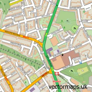
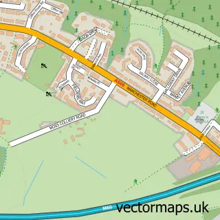
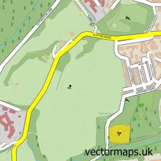
This Simister street map is a detailed vector street map covering a 750m x 750m area. Select a larger area to create and download your own vector street map of Simister.
The 750-metre map sample for Simister covers 140 mapped buildings and approximately 17.2 km of road detail, of which 9 named roads are named. The immediate area includes 12 GP surgeries within 2 miles, 2 pubs and 10 MOT stations within 2 miles. The wider area around Simister features 3 food and drink venues. To create a larger or custom map of Simister, the map builder lets you define your own coverage area and download editable SVG, PDF and PNG files.
Create a larger editable map of Simister
Choose any area you need and generate a high-quality vector map instantly. Perfect for print, planning, design, business and personal use.

This Simister street map in Greater Manchester is available as downloadable SVG, PDF and PNG map files, or as a printed map for planning, business, display, education, local information and design work. You can also create a larger custom map area using the map selector.
What this Simister map sample shows
Simister lies within Bury District (B) parish, part of Holyrood ward in the Bury District (B) local authority area. The postcode geography for this area includes the M postcode area, the M24 postcode district and the M24 4 postcode sector. Residents fall under the Nhs Greater Manchester Integrated Care Board for NHS services.
Local features near Simister
Within 2 milesAmenities and services in and around Simister.
Administrative and postcode information for Simister
The local authority covering Simister is Bury District (B), within the county of Greater Manchester. The settlement lies within Holyrood ward and Bury District (B) civil parish. The M24 postcode district and M24 4 postcode sector serve the immediate area. NHS provision in the area is delivered through Manchester University Nhs Foundation Trust.
Nearby street map samples around Simister

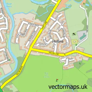
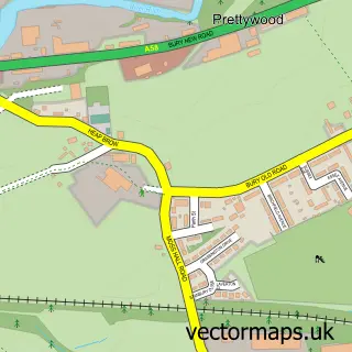
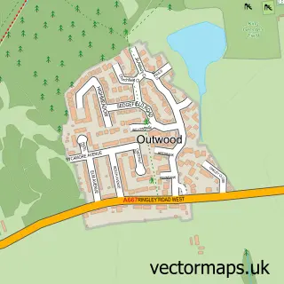

More street maps in Greater Manchester
750 metre map area coverage
Boundary, postcode and point of interest information for the 750m x 750m rectangle centred on this sample map.
Boundaries containing map centre
Constituency: Bury South Boro Const
District: Bury District (B)
Icb: NHS Greater Manchester ICB
Police Force: greater manchester
Postcode District: M25
Postcode Sector: M25 2
Ward: Holyrood Ward
Nearby boundaries intersecting sample
Postcode District: BL9
Postcode Sector: BL9 8
Ward: Besses Ward, Unsworth Ward
Postcode coverage
POI category counts
Church Cathedral: 2
Pub: 2
Beauty Salon: 1
Coffee Shop: 1
Community Center: 1
Discount Store: 1
Health And Medical: 1
Logging Services: 1
Playground: 1
Professional Services: 1
Sample points of interest
- JessicaLeigh PMU& Aesthetics
- St George's Church
- St Georges C of E Church
- Heaton Park Stables
- Lady Wilton Hall
- Consolidated Tools
- Massage Hands
- Tom Cleary Tree Care
- Simister Green Playground
- Tom Cleary Tree Care
- Farmers Arms
- The Farmer's Arms
Create a larger editable map of Simister
This sample shows only a 750 metre area. To create a larger map of Simister, use our map builder to choose your own coverage area, add titles and download editable SVG, PDF and PNG files.
Create a custom map of Simister