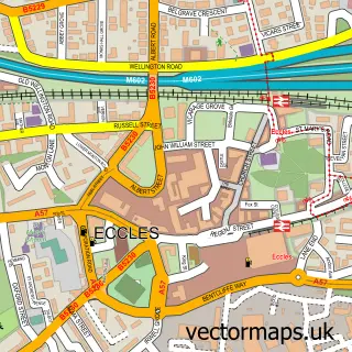
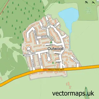
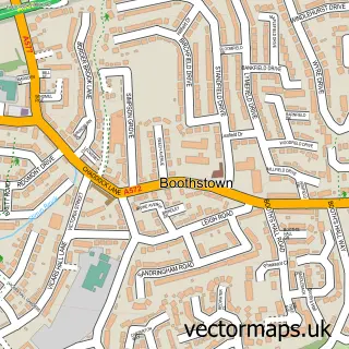
This Salford street map is a detailed vector street map covering a 750m x 750m area. Select a larger area to create and download your own vector street map of Salford.
The 750-metre map sample for Salford covers 187 mapped buildings and approximately 23.3 km of road detail, of which 56 named roads are named. The immediate area includes 1 school, 5 GP surgeries, with 18 within 2 miles, 1 pub and 52 MOT stations within 2 miles. The wider area around Salford features 5 tourism points of interest, 12 food and drink venues and 2 hotels. To create a larger or custom map of Salford, the map builder lets you define your own coverage area and download editable SVG, PDF and PNG files.
Create a larger editable map of Salford
Choose any area you need and generate a high-quality vector map instantly. Perfect for print, planning, design, business and personal use.

This Salford street map in Greater Manchester is available as downloadable SVG, PDF and PNG map files, or as a printed map for planning, business, display, education, local information and design work. You can also create a larger custom map area using the map selector.
What this Salford map sample shows
Salford lies within Salford District (B) parish, part of Pendlebury ward in the Salford District (B) local authority area. The postcode geography for this area includes the M postcode area, the M27 postcode district and the M27 8 postcode sector. Residents fall under the Nhs Greater Manchester Integrated Care Board for NHS services.
Local features near Salford
Within 2 milesAmenities and services in and around Salford.
Administrative and postcode information for Salford
Salford lies within Salford District (B) parish, part of Pendlebury ward in the Salford District (B) local authority area. The postcode geography for this area includes the M postcode area, the M27 postcode district and the M27 8 postcode sector. Residents fall under the Nhs Greater Manchester Integrated Care Board for NHS services.
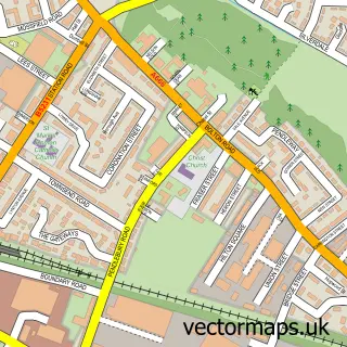
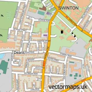
Nearby street map samples around Salford
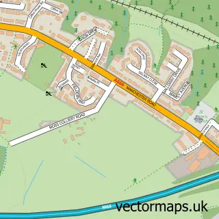
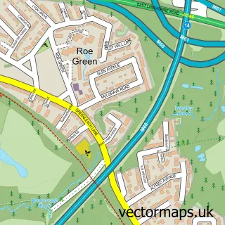
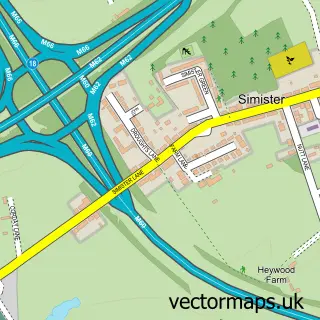

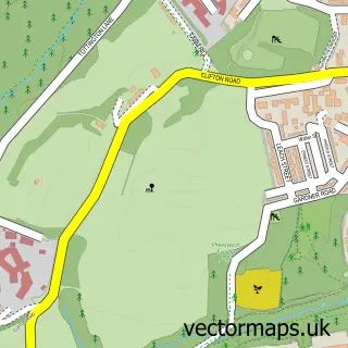
More street maps in Greater Manchester

750 metre map area coverage
Boundary, postcode and point of interest information for the 750m x 750m rectangle centred on this sample map.
Boundaries containing map centre
Constituency: Salford Boro Const
District: Salford District (B)
Icb: NHS Greater Manchester ICB
Police Force: greater manchester
Postcode District: M6
Postcode Sector: M6 5
Ward: Pendleton & Charlestown Ward
Nearby boundaries intersecting sample
Postcode District: M5
Postcode Sector: M5 4, M6 6, M6 7
Ward: Weaste & Seedley Ward
Postcode coverage
POI category counts
Clothing Store: 8
Professional Services: 8
Bank Credit Union: 6
Beauty Salon: 6
Fast Food Restaurant: 6
Charity Organization: 5
Discount Store: 5
Mobile Phone Store: 5
Supermarket: 5
Cafe: 4
Sample points of interest
- MrB Book-keeping & Consultancy Services
- T-Accounting Ltd.
- CodifyMedia
- Fluid Branding
- Poundbakery
- Body Therapy
- Dr Karen Goodman MBChB D.R.C.O.G MFHom
- Quicksilver
- Emmanuel LEP, Seedley & Langworthy
- St Paul the Apostle Paddington
- Age UK
- Iceland Foods
Create a larger editable map of Salford
This sample shows only a 750 metre area. To create a larger map of Salford, use our map builder to choose your own coverage area, add titles and download editable SVG, PDF and PNG files.
Create a custom map of Salford