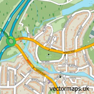
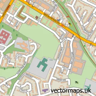
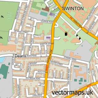
This Roe Green street map is a detailed vector street map covering a 750m x 750m area. Select a larger area to create and download your own vector street map of Roe Green.
The 750-metre map sample for Roe Green covers 274 mapped buildings and approximately 21.1 km of road detail, of which 25 named roads are named. The immediate area includes 9 GP surgeries within 2 miles and 19 MOT stations within 2 miles. The wider area around Roe Green features 1 tourism point of interest. To create a larger or custom map of Roe Green, the map builder lets you define your own coverage area and download editable SVG, PDF and PNG files.
Create a larger editable map of Roe Green
Choose any area you need and generate a high-quality vector map instantly. Perfect for print, planning, design, business and personal use.

This Roe Green street map in Greater Manchester is available as downloadable SVG, PDF and PNG map files, or as a printed map for planning, business, display, education, local information and design work. You can also create a larger custom map area using the map selector.
What this Roe Green map sample shows
Roe Green lies within Salford District (B) parish, part of Worsley ward in the Salford District (B) local authority area. The postcode geography for this area includes the M postcode area, the M28 postcode district and the M28 2 postcode sector. Residents fall under the Nhs Greater Manchester Integrated Care Board for NHS services.
Local features near Roe Green
Within 2 milesAmenities and services in and around Roe Green.
Administrative and postcode information for Roe Green
Roe Green lies within Salford District (B) parish, part of Worsley ward in the Salford District (B) local authority area. The postcode geography for this area includes the M postcode area, the M28 postcode district and the M28 2 postcode sector. Residents fall under the Nhs Greater Manchester Integrated Care Board for NHS services.
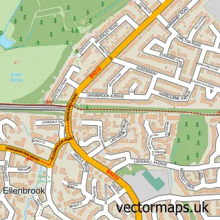
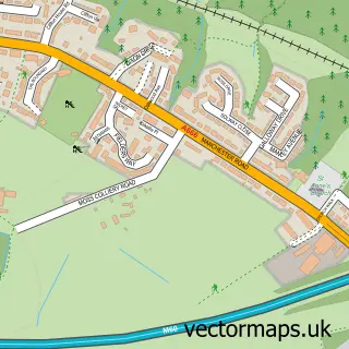
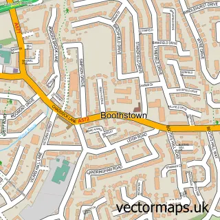
Nearby street map samples around Roe Green


More street maps in Greater Manchester
750 metre map area coverage
Boundary, postcode and point of interest information for the 750m x 750m rectangle centred on this sample map.
Boundaries containing map centre
Constituency: Worsley and Eccles Co Const
District: Salford District (B)
Icb: NHS Greater Manchester ICB
Police Force: greater manchester
Postcode District: M28
Postcode Sector: M28 2
Ward: Boothstown & Ellenbrook Ward
Nearby boundaries intersecting sample
Constituency: Bolton South and Walkden Boro Const
Postcode Sector: M28 7
Ward: Swinton & Wardley Ward, Walkden South Ward, Worsley & Westwood Park Ward
Postcode coverage
POI category counts
Arts And Entertainment: 3
Professional Services: 3
Automotive Repair: 2
Beauty Salon: 2
Accountant: 1
Auto Detailing: 1
Barber: 1
Beauty And Spa: 1
Boutique: 1
Butcher Shop: 1
Sample points of interest
- Calculus Accountants and Co
- Malart
- Malcolm Butler
- The Ward Academy Ltd
- BM Valets Worsley Car Care
- Chips Away
- ChipsAway Worsley
- Roe Green Barber Shop
- Dynamics hair and beauty studio
- Bridal Make-Up By Alison
- Salon Vert Beauty & Hairdressing
- Off The Rails
Create a larger editable map of Roe Green
This sample shows only a 750 metre area. To create a larger map of Roe Green, use our map builder to choose your own coverage area, add titles and download editable SVG, PDF and PNG files.
Create a custom map of Roe Green