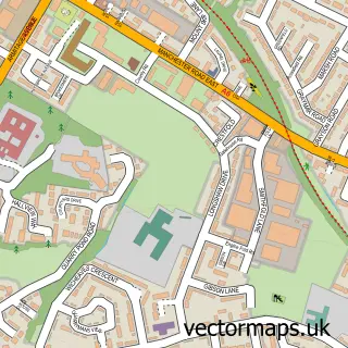
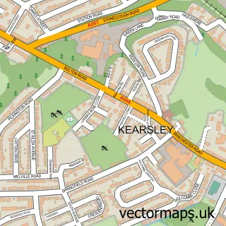
This Walkden street map is a detailed vector street map covering a 750m x 750m area. Select a larger area to create and download your own vector street map of Walkden.
The 750-metre map sample for Walkden covers 369 mapped buildings and approximately 21.1 km of road detail, of which 55 named roads are named. The immediate area includes 1 school, 3 GP surgeries, with 15 within 2 miles, 2 pubs and 2 MOT stations, with 23 within 2 miles. The wider area around Walkden features 11 food and drink venues and 1 hotel. To create a larger or custom map of Walkden, the map builder lets you define your own coverage area and download editable SVG, PDF and PNG files.
Create a larger editable map of Walkden
Choose any area you need and generate a high-quality vector map instantly. Perfect for print, planning, design, business and personal use.

This Walkden street map in Greater Manchester is available as downloadable SVG, PDF and PNG map files, or as a printed map for planning, business, display, education, local information and design work. You can also create a larger custom map area using the map selector.
What this Walkden map sample shows
Walkden lies within Salford District (B) parish, part of Walkden North ward in the Salford District (B) local authority area. The postcode geography for this area includes the M postcode area, the M28 postcode district and the M28 3 postcode sector. Residents fall under the Nhs Greater Manchester Integrated Care Board for NHS services.
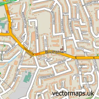
Local features near Walkden
Within 2 milesAmenities and services in and around Walkden.
Administrative and postcode information for Walkden
The local authority covering Walkden is Salford District (B), within the county of Greater Manchester. The settlement lies within Walkden North ward and Salford District (B) civil parish. The M28 postcode district and M28 3 postcode sector serve the immediate area. NHS provision in the area is delivered through Bolton Nhs Foundation Trust.
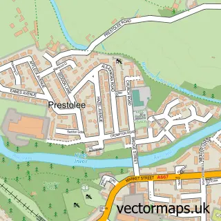
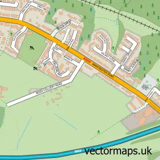
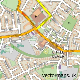
Nearby street map samples around Walkden


More street maps in Greater Manchester
750 metre map area coverage
Boundary, postcode and point of interest information for the 750m x 750m rectangle centred on this sample map.
Boundaries containing map centre
Constituency: Bolton South and Walkden Boro Const
District: Salford District (B)
Icb: NHS Greater Manchester ICB
Police Force: greater manchester
Postcode District: M28
Postcode Sector: M28 3
Ward: Walkden North Ward
Nearby boundaries intersecting sample
Postcode District: M38
Postcode Sector: M28 0, M38 9
Ward: Walkden South Ward
Postcode coverage
POI category counts
Discount Store: 8
Hair Salon: 7
Indian Restaurant: 7
Retail: 7
Bank Credit Union: 6
Real Estate Agent: 6
Convenience Store: 5
Funeral Services And Cemeteries: 5
Veterinarian: 5
Bakery: 4
Sample points of interest
- Champi:ON
- Champion Contractors
- Walkden ABC
- Moonjuice Creative Limited
- Tims and Parker Limited
- St Paul's Walkden
- Barnardo's
- Sue Ryder Care - Walken
- P4B Extend Ltd
- Fuzion Eats
- Xotica Restaurant
- Tarot by Kerris
Create a larger editable map of Walkden
This sample shows only a 750 metre area. To create a larger map of Walkden, use our map builder to choose your own coverage area, add titles and download editable SVG, PDF and PNG files.
Create a custom map of Walkden