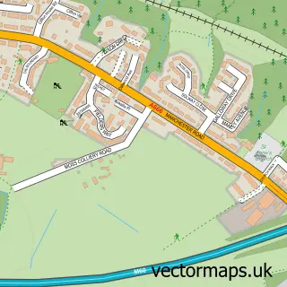
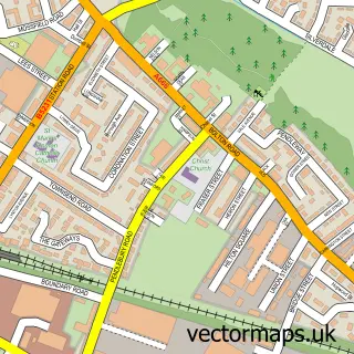
This Swinton street map is a detailed vector street map covering a 750m x 750m area. Select a larger area to create and download your own vector street map of Swinton.
The 750-metre map sample for Swinton covers 423 mapped buildings and approximately 20.0 km of road detail, of which 58 named roads are named. The immediate area includes 2 primary schools and 1 secondary school, 1 GP surgery, with 8 within 2 miles, 2 pubs and 24 MOT stations within 2 miles. The wider area around Swinton features 2 tourism points of interest and 11 food and drink venues. To create a larger or custom map of Swinton, the map builder lets you define your own coverage area and download editable SVG, PDF and PNG files.
Create a larger editable map of Swinton
Choose any area you need and generate a high-quality vector map instantly. Perfect for print, planning, design, business and personal use.

This Swinton street map in Greater Manchester is available as downloadable SVG, PDF and PNG map files, or as a printed map for planning, business, display, education, local information and design work. You can also create a larger custom map area using the map selector.
What this Swinton map sample shows
Swinton lies within Salford District (B) parish, part of Swinton South ward in the Salford District (B) local authority area. The postcode geography for this area includes the M postcode area, the M27 postcode district and the M27 5 postcode sector. Residents fall under the Nhs Greater Manchester Integrated Care Board for NHS services.
Local features near Swinton
Within 2 milesAmenities and services in and around Swinton.
Administrative and postcode information for Swinton
Swinton lies within Salford District (B) parish, part of Swinton South ward in the Salford District (B) local authority area. The postcode geography for this area includes the M postcode area, the M27 postcode district and the M27 5 postcode sector. Residents fall under the Nhs Greater Manchester Integrated Care Board for NHS services.
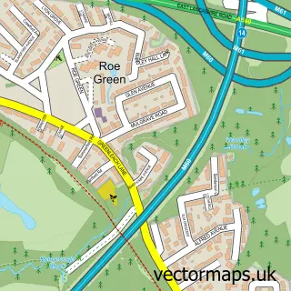
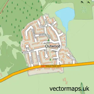
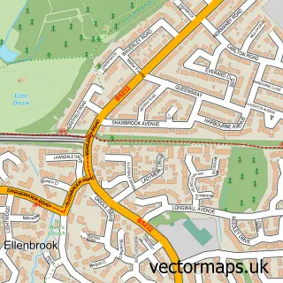
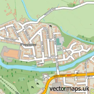
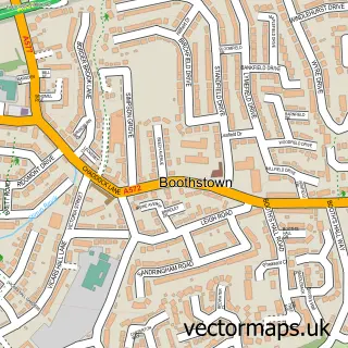
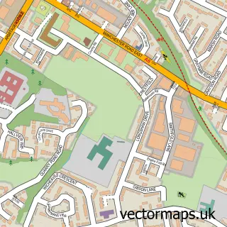
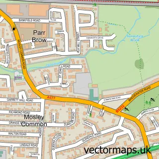
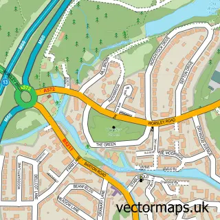
Nearby street map samples around Swinton


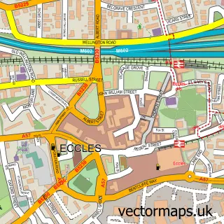
More street maps in Greater Manchester
750 metre map area coverage
Boundary, postcode and point of interest information for the 750m x 750m rectangle centred on this sample map.
Boundaries containing map centre
Constituency: Worsley and Eccles Co Const
District: Salford District (B)
Icb: NHS Greater Manchester ICB
Police Force: greater manchester
Postcode District: M27
Postcode Sector: M27 0
Ward: Swinton & Wardley Ward
Nearby boundaries intersecting sample
Constituency: Salford Boro Const
Postcode Sector: M27 4, M27 5, M27 6
Ward: Swinton Park Ward
Postcode coverage
POI category counts
Beauty Salon: 8
Ev Charging Station: 6
Bakery: 5
Bank Credit Union: 5
Pizza Restaurant: 5
Building Supply Store: 4
Church Cathedral: 4
Clothing Store: 4
Community Services Non Profits: 4
Discount Store: 4
Sample points of interest
- Newhaven Print Management
- Shaws Amusements
- Parish of Swinton and Pendlebury
- ATM (Post Office)
- Swinton Chorley Road
- Traceman Electrical Engineers
- Autotechnics Manchester | Manchester
- Deans Road Garage - Swinton
- Greggs
- Life of Reilly Cupcakes
- Martins Bakery
- Organic Barkery
Create a larger editable map of Swinton
This sample shows only a 750 metre area. To create a larger map of Swinton, use our map builder to choose your own coverage area, add titles and download editable SVG, PDF and PNG files.
Create a custom map of Swinton