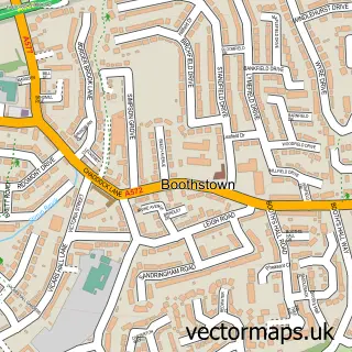
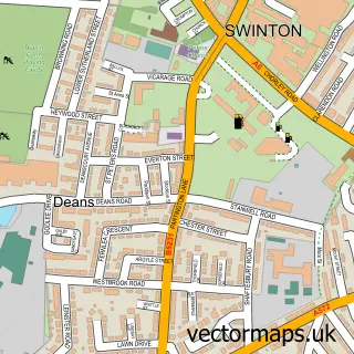
This Eccles street map is a detailed vector street map covering a 750m x 750m area. Select a larger area to create and download your own vector street map of Eccles.
The 750-metre map sample for Eccles covers 274 mapped buildings and approximately 26.8 km of road detail, of which 55 named roads are named. The immediate area includes 2 schools, 2 railway stations, 1 GP surgery, with 13 within 2 miles and 11 pubs among other local services. The wider area around Eccles features 1 tourism point of interest, 18 food and drink venues and 3 hotels. To create a larger or custom map of Eccles, the map builder lets you define your own coverage area and download editable SVG, PDF and PNG files.
Create a larger editable map of Eccles
Choose any area you need and generate a high-quality vector map instantly. Perfect for print, planning, design, business and personal use.

This Eccles street map in Greater Manchester is available as downloadable SVG, PDF and PNG map files, or as a printed map for planning, business, display, education, local information and design work. You can also create a larger custom map area using the map selector.
What this Eccles map sample shows
Eccles lies within Salford District (B) parish, part of Barton ward in the Salford District (B) local authority area. The postcode geography for this area includes the M postcode area, the M30 postcode district and the M30 8 postcode sector. Residents fall under the Nhs Greater Manchester Integrated Care Board for NHS services.
Local features near Eccles
Within 2 milesAmenities and services in and around Eccles.
Administrative and postcode information for Eccles
The local authority covering Eccles is Salford District (B), within the county of Greater Manchester. The settlement lies within Barton ward and Salford District (B) civil parish. The M30 postcode district and M30 8 postcode sector serve the immediate area. NHS provision in the area is delivered through Northern Care Alliance Nhs Foundation Trust.
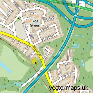
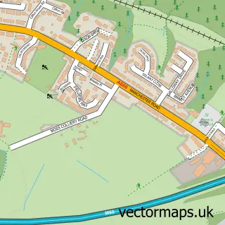
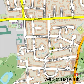
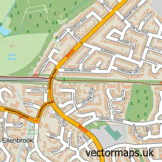
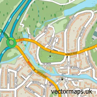
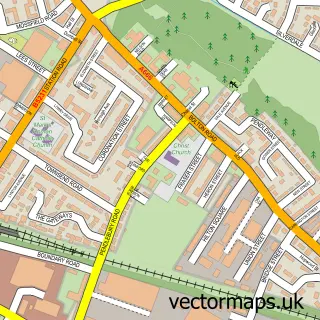
Nearby street map samples around Eccles


More street maps in Greater Manchester
750 metre map area coverage
Boundary, postcode and point of interest information for the 750m x 750m rectangle centred on this sample map.
Boundaries containing map centre
Constituency: Worsley and Eccles Co Const
District: Salford District (B)
Icb: NHS Greater Manchester ICB
Police Force: greater manchester
Postcode District: M30
Postcode Sector: M30 0
Ward: Eccles Ward
Nearby boundaries intersecting sample
Postcode Sector: M30 9
Ward: Barton & Winton Ward
Postcode coverage
POI category counts
Pub: 11
Beauty Salon: 8
Church Cathedral: 7
Bar: 6
Charity Organization: 6
Hair Salon: 6
Package Locker: 6
Train Station: 6
Bakery: 5
Employment Agencies: 5
Sample points of interest
- Haines Watts Salford
- Moxels
- Trip Marketing Services Limited
- LKO Restaurant and Lounge
- Reel Leisure
- Eccles Parish Church of St Mary the Virgin
- British Red Cross
- Cash Recycle
- E-Nails
- Buyit-Wholesale.com
- Eccles Community Art Gallery
- Eccles Borough Band
Create a larger editable map of Eccles
This sample shows only a 750 metre area. To create a larger map of Eccles, use our map builder to choose your own coverage area, add titles and download editable SVG, PDF and PNG files.
Create a custom map of Eccles