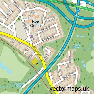
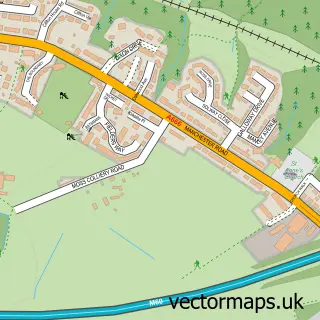
This Worsley street map is a detailed vector street map covering a 750m x 750m area. Select a larger area to create and download your own vector street map of Worsley.
The 750-metre map sample for Worsley covers 317 mapped buildings and approximately 19.8 km of road detail, of which 32 named roads are named. The immediate area includes 11 GP surgeries within 2 miles, 4 pubs and 20 MOT stations within 2 miles. The wider area around Worsley features 3 tourism points of interest and 6 food and drink venues. To create a larger or custom map of Worsley, the map builder lets you define your own coverage area and download editable SVG, PDF and PNG files.
Create a larger editable map of Worsley
Choose any area you need and generate a high-quality vector map instantly. Perfect for print, planning, design, business and personal use.

This Worsley street map in Greater Manchester is available as downloadable SVG, PDF and PNG map files, or as a printed map for planning, business, display, education, local information and design work. You can also create a larger custom map area using the map selector.
What this Worsley map sample shows
Worsley lies within Salford District (B) parish, part of Worsley ward in the Salford District (B) local authority area. The postcode geography for this area includes the M postcode area, the M28 postcode district and the M28 2 postcode sector. Residents fall under the Nhs Greater Manchester Integrated Care Board for NHS services.
Local features near Worsley
Within 2 milesAmenities and services in and around Worsley.
Administrative and postcode information for Worsley
The local authority covering Worsley is Salford District (B), within the county of Greater Manchester. The settlement lies within Worsley ward and Salford District (B) civil parish. The M28 postcode district and M28 2 postcode sector serve the immediate area. NHS provision in the area is delivered through Northern Care Alliance Nhs Foundation Trust.
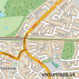
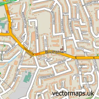
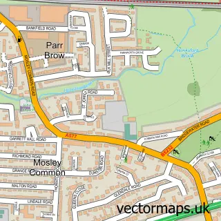
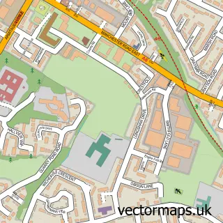
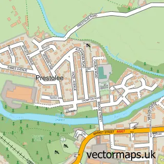
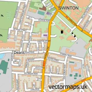
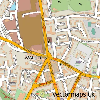
Nearby street map samples around Worsley


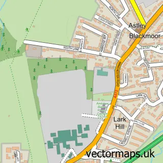
More street maps in Greater Manchester
750 metre map area coverage
Boundary, postcode and point of interest information for the 750m x 750m rectangle centred on this sample map.
Boundaries containing map centre
Constituency: Worsley and Eccles Co Const
District: Salford District (B)
Icb: NHS Greater Manchester ICB
Police Force: greater manchester
Postcode District: M28
Postcode Sector: M28 2
Ward: Worsley & Westwood Park Ward
Nearby boundaries intersecting sample
Postcode District: M30
Postcode Sector: M30 8
Ward: Boothstown & Ellenbrook Ward
Postcode coverage
POI category counts
Real Estate Agent: 6
Pub: 4
Beauty Salon: 3
Financial Advising: 3
Financial Service: 3
Landmark And Historical Building: 3
Library: 3
Professional Services: 3
Auto Loan Provider: 2
Business Consulting: 2
Sample points of interest
- Sandhurst Associates
- Manchester Independant Mortgages
- Suburban Financial Services
- 1st Class Car Care
- Lawlors Salon Group
- Rebecca Beauty Cosmetics
- Hidden Beauty
- The Lash Box Studio and Academy
- The Sanctuary
- Manchester Cycle Exchange Ltd.
- Worsley Day Boat Hire
- Worsley Dry Docks
Create a larger editable map of Worsley
This sample shows only a 750 metre area. To create a larger map of Worsley, use our map builder to choose your own coverage area, add titles and download editable SVG, PDF and PNG files.
Create a custom map of Worsley