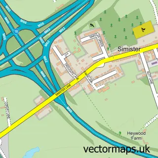
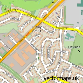
This Middleton street map is a detailed vector street map covering a 750m x 750m area. Select a larger area to create and download your own vector street map of Middleton.
The 750-metre map sample for Middleton covers 208 mapped buildings and approximately 18.9 km of road detail, of which 57 named roads are named. The immediate area includes 1 GP surgery, with 14 within 2 miles, 13 pubs and 1 MOT station, with 14 within 2 miles. The wider area around Middleton features 5 tourism points of interest and 28 food and drink venues. To create a larger or custom map of Middleton, the map builder lets you define your own coverage area and download editable SVG, PDF and PNG files.
Create a larger editable map of Middleton
Choose any area you need and generate a high-quality vector map instantly. Perfect for print, planning, design, business and personal use.

This Middleton street map in Greater Manchester is available as downloadable SVG, PDF and PNG map files, or as a printed map for planning, business, display, education, local information and design work. You can also create a larger custom map area using the map selector.
What this Middleton map sample shows
Middleton lies within Rochdale District (B) parish, part of North Middleton ward in the Rochdale District (B) local authority area. The postcode geography for this area includes the M postcode area, the M24 postcode district and the M24 6 postcode sector. Residents fall under the Nhs Greater Manchester Integrated Care Board for NHS services.
Local features near Middleton
Within 2 milesAmenities and services in and around Middleton.
Administrative and postcode information for Middleton
The local authority covering Middleton is Rochdale District (B), within the county of Greater Manchester. The settlement lies within North Middleton ward and Rochdale District (B) civil parish. The M24 postcode district and M24 6 postcode sector serve the immediate area. NHS provision in the area is delivered through Manchester University Nhs Foundation Trust.
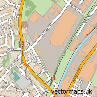
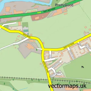
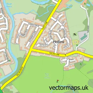
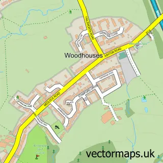
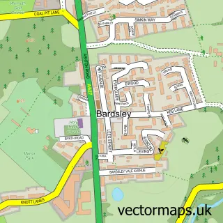
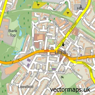
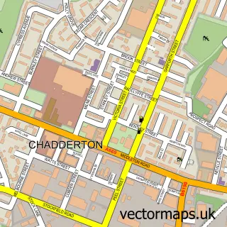
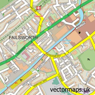
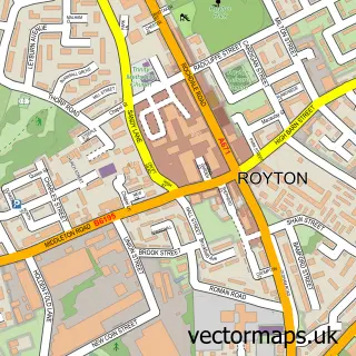
Nearby street map samples around Middleton


More street maps in Greater Manchester
750 metre map area coverage
Boundary, postcode and point of interest information for the 750m x 750m rectangle centred on this sample map.
Boundaries containing map centre
Constituency: Blackley and Middleton South Boro Const
District: Rochdale District (B)
Icb: NHS Greater Manchester ICB
Police Force: greater manchester
Postcode District: M24
Postcode Sector: M24 1
Ward: South Middleton Ward
Nearby boundaries intersecting sample
Constituency: Heywood and Middleton North Co Const
Postcode Sector: M24 4, M24 5, M24 6
Ward: East Middleton Ward, North Middleton Ward
Postcode coverage
POI category counts
Pub: 13
Beauty Salon: 11
Barber: 10
Clothing Store: 10
Hair Salon: 10
Fast Food Restaurant: 9
Beauty And Spa: 8
Discount Store: 8
Flowers And Gifts Shop: 7
Professional Services: 7
Sample points of interest
- Archwood Accountants
- James Scott & Co.
- Smart Solutions Taxation and Accounting
- Lekki Lounge Manchester
- The Location Restaurant Buffet Grill & Lounge
- Jefferies Amusements
- RSPCA
- Leitz Tooling UK
- CEF
- City Electrical Factors Ltd. (CEF)
- The Creative Studio Middleton
- Carole's Crafts
Create a larger editable map of Middleton
This sample shows only a 750 metre area. To create a larger map of Middleton, use our map builder to choose your own coverage area, add titles and download editable SVG, PDF and PNG files.
Create a custom map of Middleton