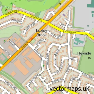
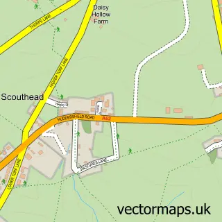
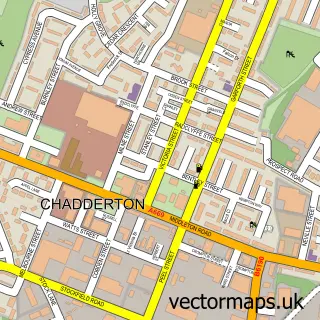
This Royton street map is a detailed vector street map covering a 750m x 750m area. Select a larger area to create and download your own vector street map of Royton.
The 750-metre map sample for Royton covers 368 mapped buildings and approximately 21.0 km of road detail, of which 63 named roads are named. The immediate area includes 2 schools, 2 GP surgeries, with 18 within 2 miles, 10 pubs and 2 MOT stations, with 47 within 2 miles. The wider area around Royton features 3 tourism points of interest and 19 food and drink venues. To create a larger or custom map of Royton, the map builder lets you define your own coverage area and download editable SVG, PDF and PNG files.
Create a larger editable map of Royton
Choose any area you need and generate a high-quality vector map instantly. Perfect for print, planning, design, business and personal use.

This Royton street map in Greater Manchester is available as downloadable SVG, PDF and PNG map files, or as a printed map for planning, business, display, education, local information and design work. You can also create a larger custom map area using the map selector.
What this Royton map sample shows
Royton lies within Oldham District (B) parish, part of Royton South ward in the Oldham District (B) local authority area. The postcode geography for this area includes the OL postcode area, the OL2 postcode district and the OL2 6 postcode sector. Residents fall under the Nhs Greater Manchester Integrated Care Board for NHS services.
Local features near Royton
Within 2 milesAmenities and services in and around Royton.
Administrative and postcode information for Royton
Royton lies within Oldham District (B) parish, part of Royton South ward in the Oldham District (B) local authority area. The postcode geography for this area includes the OL postcode area, the OL2 postcode district and the OL2 6 postcode sector. Residents fall under the Nhs Greater Manchester Integrated Care Board for NHS services.
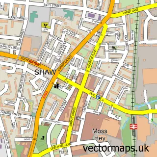
Nearby street map samples around Royton


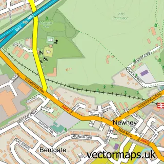
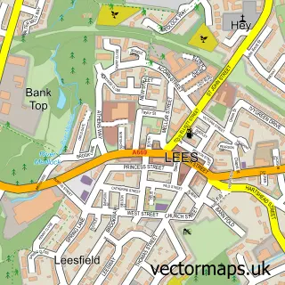
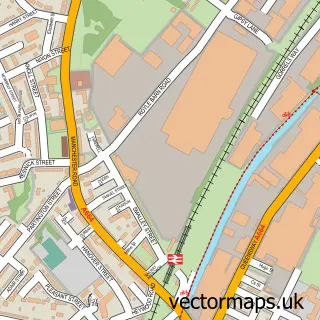
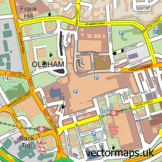
More street maps in Greater Manchester
750 metre map area coverage
Boundary, postcode and point of interest information for the 750m x 750m rectangle centred on this sample map.
Boundaries containing map centre
Constituency: Oldham West, Chadderton and Royton Boro Const
District: Oldham District (B)
Icb: NHS Greater Manchester ICB
Police Force: greater manchester
Postcode District: OL2
Postcode Sector: OL2 5
Ward: Royton North Ward
Nearby boundaries intersecting sample
Postcode Sector: OL2 6
Ward: Royton South Ward
Postcode coverage
POI category counts
Beauty Salon: 11
Pub: 10
Hair Salon: 8
Real Estate Agent: 8
Dentist: 6
Automotive Repair: 5
Bar: 5
Barber: 5
Church Cathedral: 5
Cocktail Bar: 5
Sample points of interest
- TaxAssist Accountants
- Pole,tone & hoop fitness.
- Age Uk
- Hycote
- Jarden
- Pulse Home Products
- Anchor Hanover - Runnymede Court
- The Cooperative Food Royton - Rochdale Road, Royton
- Splash Smart Repair
- Biker Friendly Finance
- Cunliffe Autos
- Jenkins Autos Ltd Royton MOT Centre Class 4 & 7
Create a larger editable map of Royton
This sample shows only a 750 metre area. To create a larger map of Royton, use our map builder to choose your own coverage area, add titles and download editable SVG, PDF and PNG files.
Create a custom map of Royton