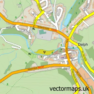
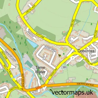
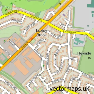
This Denshaw street map is a detailed vector street map covering a 750m x 750m area. Select a larger area to create and download your own vector street map of Denshaw.
The 750-metre map sample for Denshaw covers 156 mapped buildings and approximately 13.1 km of road detail, of which 15 named roads are named. The immediate area includes 1 school and 4 pubs. The wider area around Denshaw features 5 food and drink venues and 1 hotel. To create a larger or custom map of Denshaw, the map builder lets you define your own coverage area and download editable SVG, PDF and PNG files.
Create a larger editable map of Denshaw
Choose any area you need and generate a high-quality vector map instantly. Perfect for print, planning, design, business and personal use.

This Denshaw street map in Greater Manchester is available as downloadable SVG, PDF and PNG map files, or as a printed map for planning, business, display, education, local information and design work. You can also create a larger custom map area using the map selector.
What this Denshaw map sample shows
Denshaw lies within Saddleworth Cp parish, part of Saddleworth North ward in the Oldham District (B) local authority area. The postcode geography for this area includes the OL postcode area, the OL3 postcode district and the OL3 5 postcode sector. Residents fall under the Nhs Greater Manchester Integrated Care Board for NHS services.
Local features near Denshaw
Within 2 milesAmenities and services in and around Denshaw.
Administrative and postcode information for Denshaw
Denshaw lies within Saddleworth Cp parish, part of Saddleworth North ward in the Oldham District (B) local authority area. The postcode geography for this area includes the OL postcode area, the OL3 postcode district and the OL3 5 postcode sector. Residents fall under the Nhs Greater Manchester Integrated Care Board for NHS services.
Nearby street map samples around Denshaw

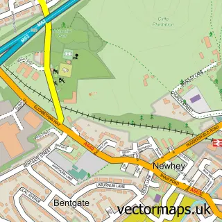
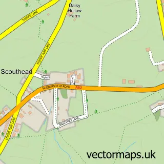
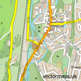
More street maps in Greater Manchester
750 metre map area coverage
Boundary, postcode and point of interest information for the 750m x 750m rectangle centred on this sample map.
Boundaries containing map centre
Constituency: Oldham East and Saddleworth Co Const
District: Oldham District (B)
Icb: NHS Greater Manchester ICB
Parish: Saddleworth CP
Police Force: greater manchester
Postcode District: OL3
Postcode Sector: OL3 5
Ward: Saddleworth North Ward
Nearby boundaries intersecting sample
No additional intersecting boundaries found.
Postcode coverage
POI category counts
Pub: 4
Anglican Church: 1
Automotive Repair: 1
Bar: 1
Beauty Salon: 1
Beverage Store: 1
Business: 1
Community Center: 1
Dairy Farm: 1
Elementary School: 1
Sample points of interest
- Christ Church Denshaw
- Moorside Garage
- Kings Arms
- BOX
- Saddleworth Organics
- Viva Fire Protection Ltd
- Denshaw Village Hall
- McLintock's Dairy
- Christ Church CofE Primary School
- P R England & Sons
- Printers Arms
- Bees Shepherds Hut
Create a larger editable map of Denshaw
This sample shows only a 750 metre area. To create a larger map of Denshaw, use our map builder to choose your own coverage area, add titles and download editable SVG, PDF and PNG files.
Create a custom map of Denshaw