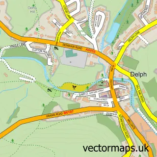
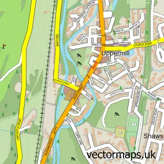
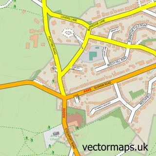
This New Delph street map is a detailed vector street map covering a 750m x 750m area. Select a larger area to create and download your own vector street map of New Delph.
The 750-metre map sample for New Delph covers 183 mapped buildings and approximately 15.1 km of road detail, of which 25 named roads are named. The immediate area includes 1 GP surgery within 2 miles, 1 pub and 2 MOT stations within 2 miles. The wider area around New Delph features 1 food and drink venue. To create a larger or custom map of New Delph, the map builder lets you define your own coverage area and download editable SVG, PDF and PNG files.
Create a larger editable map of New Delph
Choose any area you need and generate a high-quality vector map instantly. Perfect for print, planning, design, business and personal use.

This New Delph street map in Greater Manchester is available as downloadable SVG, PDF and PNG map files, or as a printed map for planning, business, display, education, local information and design work. You can also create a larger custom map area using the map selector.
What this New Delph map sample shows
New Delph lies within Saddleworth Cp parish, part of Saddleworth North ward in the Oldham District (B) local authority area. The postcode geography for this area includes the OL postcode area, the OL3 postcode district and the OL3 5 postcode sector. Residents fall under the Nhs Greater Manchester Integrated Care Board for NHS services.
Local features near New Delph
Within 2 milesAmenities and services in and around New Delph.
Administrative and postcode information for New Delph
New Delph lies within Saddleworth Cp parish, part of Saddleworth North ward in the Oldham District (B) local authority area. The postcode geography for this area includes the OL postcode area, the OL3 postcode district and the OL3 5 postcode sector. Residents fall under the Nhs Greater Manchester Integrated Care Board for NHS services.
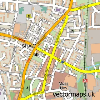
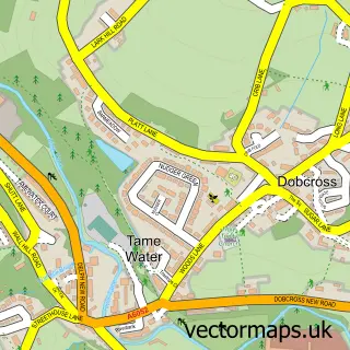
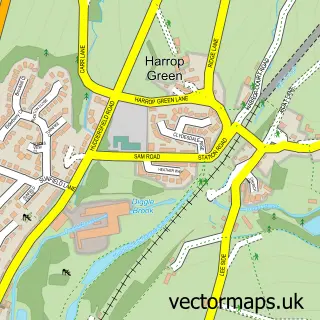
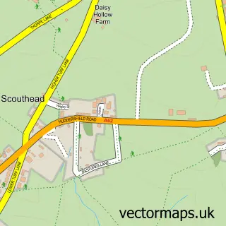
Nearby street map samples around New Delph

More street maps in Greater Manchester
750 metre map area coverage
Boundary, postcode and point of interest information for the 750m x 750m rectangle centred on this sample map.
Boundaries containing map centre
Constituency: Oldham East and Saddleworth Co Const
District: Oldham District (B)
Icb: NHS Greater Manchester ICB
Parish: Saddleworth CP
Police Force: greater manchester
Postcode District: OL3
Postcode Sector: OL3 5
Ward: Saddleworth North Ward
Nearby boundaries intersecting sample
No additional intersecting boundaries found.
Postcode coverage
POI category counts
Advertising Agency: 3
Contractor: 3
Bar: 2
Beauty Salon: 2
Car Dealer: 2
Commercial Real Estate: 2
Dog Walkers: 2
Education: 2
Environmental Conservation Organization: 2
Financial Advising: 2
Sample points of interest
- Advance Creative
- Media Mill
- Monument Studios
- Reece Safety Products
- Design and Architecture Workshop
- Obsidian Detailing
- Fresca Italian Restaurant
- The Old Bell Inn
- Northern Beauty Experts
- The Beauty Studio By Abbie
- We Are Cloth
- Geosyntec Consultants
Create a larger editable map of New Delph
This sample shows only a 750 metre area. To create a larger map of New Delph, use our map builder to choose your own coverage area, add titles and download editable SVG, PDF and PNG files.
Create a custom map of New Delph