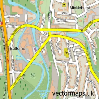
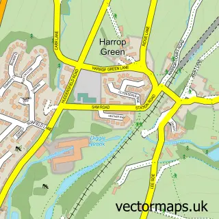
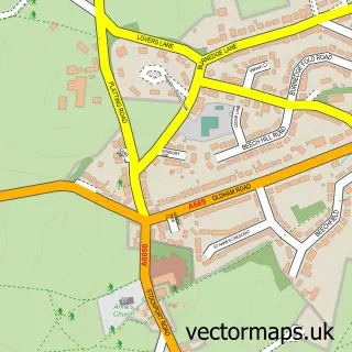
This Dobcross street map is a detailed vector street map covering a 750m x 750m area. Select a larger area to create and download your own vector street map of Dobcross.
The 750-metre map sample for Dobcross covers 285 mapped buildings and approximately 16.8 km of road detail, of which 27 named roads are named. The immediate area includes 1 school, 1 GP surgery within 2 miles, 1 pub and 2 MOT stations within 2 miles. The wider area around Dobcross features 2 food and drink venues. To create a larger or custom map of Dobcross, the map builder lets you define your own coverage area and download editable SVG, PDF and PNG files.
Create a larger editable map of Dobcross
Choose any area you need and generate a high-quality vector map instantly. Perfect for print, planning, design, business and personal use.

This Dobcross street map in Greater Manchester is available as downloadable SVG, PDF and PNG map files, or as a printed map for planning, business, display, education, local information and design work. You can also create a larger custom map area using the map selector.
What this Dobcross map sample shows
Dobcross lies within Saddleworth Cp parish, part of Saddleworth South ward in the Oldham District (B) local authority area. The postcode geography for this area includes the OL postcode area, the OL3 postcode district and the OL3 6 postcode sector. Residents fall under the Nhs Greater Manchester Integrated Care Board for NHS services.
Local features near Dobcross
Within 2 milesAmenities and services in and around Dobcross.
Administrative and postcode information for Dobcross
Dobcross lies within Saddleworth Cp parish, part of Saddleworth South ward in the Oldham District (B) local authority area. The postcode geography for this area includes the OL postcode area, the OL3 postcode district and the OL3 6 postcode sector. Residents fall under the Nhs Greater Manchester Integrated Care Board for NHS services.
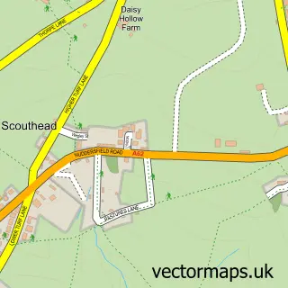
Nearby street map samples around Dobcross

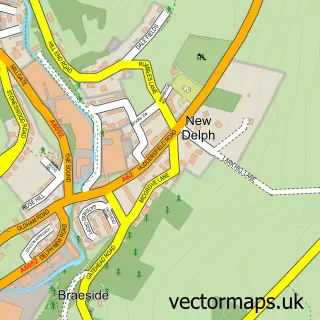
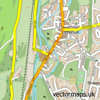
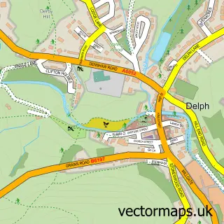
More street maps in Greater Manchester
750 metre map area coverage
Boundary, postcode and point of interest information for the 750m x 750m rectangle centred on this sample map.
Boundaries containing map centre
Constituency: Oldham East and Saddleworth Co Const
District: Oldham District (B)
Icb: NHS Greater Manchester ICB
Parish: Saddleworth CP
Police Force: greater manchester
Postcode District: OL3
Postcode Sector: OL3 5
Ward: Saddleworth North Ward
Nearby boundaries intersecting sample
No additional intersecting boundaries found.
Postcode coverage
POI category counts
Church Cathedral: 3
Elementary School: 2
Nursery And Gardening: 2
Anglican Church: 1
Auto Electrical Repair: 1
Business Management Services: 1
Cafe: 1
Caterer: 1
Catholic Church: 1
Charity Organization: 1
Sample points of interest
- Holy Trinity Dobcross
- Bladen Electrical Ltd.
- Chorlton Planning Ltd.
- Dobcross Garden Centre Cafe
- Square Meals
- The Parish Church of Holy Trinity, Dobcross
- The Stroke Association
- Holy Trinity Church
- Holy Trinity Church of England
- Sandy Lane Community Church
- Oldham Metropolitan Borough Council
- Village Building and Maintenance
Create a larger editable map of Dobcross
This sample shows only a 750 metre area. To create a larger map of Dobcross, use our map builder to choose your own coverage area, add titles and download editable SVG, PDF and PNG files.
Create a custom map of Dobcross