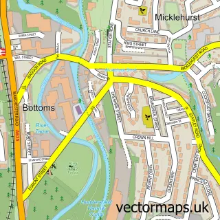
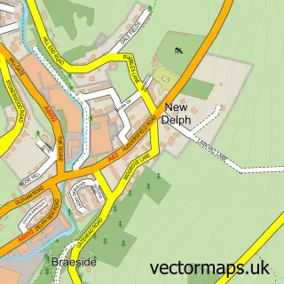
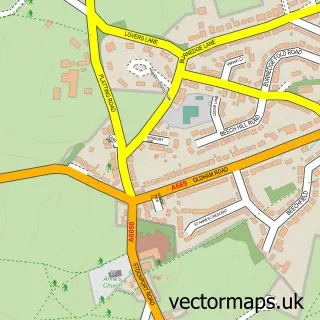
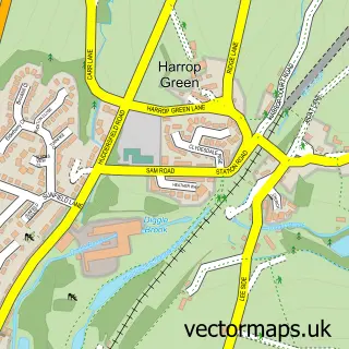
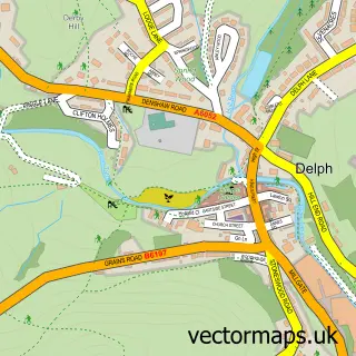
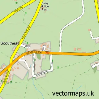
This Uppermill street map is a detailed vector street map covering a 750m x 750m area. Select a larger area to create and download your own vector street map of Uppermill.
The 750-metre map sample for Uppermill covers 279 mapped buildings and approximately 21.8 km of road detail, of which 47 named roads are named. The immediate area includes 1 GP surgery, 7 pubs and 3 MOT stations within 2 miles. The wider area around Uppermill features 3 tourism points of interest, 32 food and drink venues and 2 hotels. To create a larger or custom map of Uppermill, the map builder lets you define your own coverage area and download editable SVG, PDF and PNG files.
Create a larger editable map of Uppermill
Choose any area you need and generate a high-quality vector map instantly. Perfect for print, planning, design, business and personal use.

This Uppermill street map in Greater Manchester is available as downloadable SVG, PDF and PNG map files, or as a printed map for planning, business, display, education, local information and design work. You can also create a larger custom map area using the map selector.
What this Uppermill map sample shows
Uppermill lies within Saddleworth Cp parish, part of Saddleworth South ward in the Oldham District (B) local authority area. The postcode geography for this area includes the OL postcode area, the OL3 postcode district and the OL3 6 postcode sector. Residents fall under the Nhs Greater Manchester Integrated Care Board for NHS services.
Local features near Uppermill
Within 2 milesAmenities and services in and around Uppermill.
Administrative and postcode information for Uppermill
Uppermill lies within Saddleworth Cp parish, part of Saddleworth South ward in the Oldham District (B) local authority area. The postcode geography for this area includes the OL postcode area, the OL3 postcode district and the OL3 6 postcode sector. Residents fall under the Nhs Greater Manchester Integrated Care Board for NHS services.
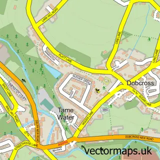
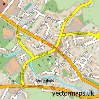
Nearby street map samples around Uppermill

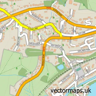
More street maps in Greater Manchester
750 metre map area coverage
Boundary, postcode and point of interest information for the 750m x 750m rectangle centred on this sample map.
Boundaries containing map centre
Constituency: Oldham East and Saddleworth Co Const
District: Oldham District (B)
Icb: NHS Greater Manchester ICB
Parish: Saddleworth CP
Police Force: greater manchester
Postcode District: OL3
Postcode Sector: OL3 6
Ward: Saddleworth South Ward
Nearby boundaries intersecting sample
Postcode Sector: OL3 5
Ward: Saddleworth North Ward
Postcode coverage
POI category counts
Beauty Salon: 11
Cafe: 11
Coffee Shop: 8
Pub: 7
Bakery: 6
Restaurant: 6
Clothing Store: 5
Dentist: 5
Flowers And Gifts Shop: 5
Hair Salon: 5
Sample points of interest
- SEFTONS
- Saddleworth Lifelong Learning Centre
- Mike Farmer Associates
- Pink in-Store Marketing
- St Chad Saddleworth - Parish Centre
- RSPCA
- Millyard Gallery
- Saddleworth Museum & Art Gallery
- Saddleworth Picture Framing & Millyard Gallery
- Bee Creative Crafts
- Copy Right
- Friezland Brass Band
Create a larger editable map of Uppermill
This sample shows only a 750 metre area. To create a larger map of Uppermill, use our map builder to choose your own coverage area, add titles and download editable SVG, PDF and PNG files.
Create a custom map of Uppermill