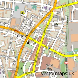
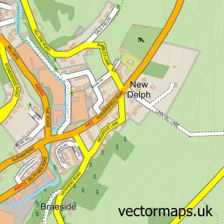
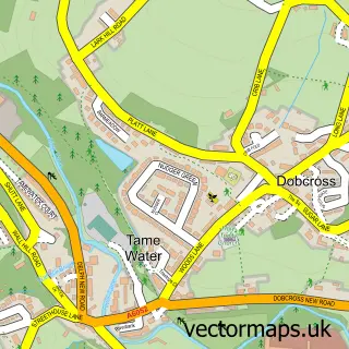
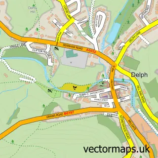
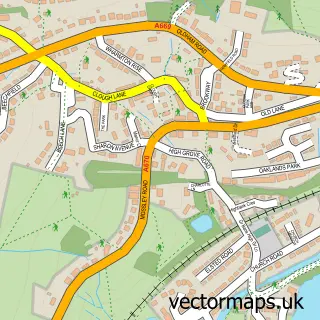
This Diggle street map is a detailed vector street map covering a 750m x 750m area. Select a larger area to create and download your own vector street map of Diggle.
The 750-metre map sample for Diggle covers 217 mapped buildings and approximately 19.9 km of road detail, of which 23 named roads are named. The immediate area includes 1 school, 1 GP surgery within 2 miles, 1 pub and 1 MOT station within 2 miles. The wider area around Diggle features 2 tourism points of interest and 1 food and drink venue. To create a larger or custom map of Diggle, the map builder lets you define your own coverage area and download editable SVG, PDF and PNG files.
Create a larger editable map of Diggle
Choose any area you need and generate a high-quality vector map instantly. Perfect for print, planning, design, business and personal use.

This Diggle street map in Greater Manchester is available as downloadable SVG, PDF and PNG map files, or as a printed map for planning, business, display, education, local information and design work. You can also create a larger custom map area using the map selector.
What this Diggle map sample shows
Diggle lies within Saddleworth Cp parish, part of Saddleworth North ward in the Oldham District (B) local authority area. The postcode geography for this area includes the OL postcode area, the OL3 postcode district and the OL3 5 postcode sector. Residents fall under the Nhs Greater Manchester Integrated Care Board for NHS services.
Local features near Diggle
Within 2 milesAmenities and services in and around Diggle.
Administrative and postcode information for Diggle
The local authority covering Diggle is Oldham District (B), within the county of Greater Manchester. The settlement lies within Saddleworth North ward and Saddleworth Cp civil parish. The OL3 postcode district and OL3 5 postcode sector serve the immediate area. NHS provision in the area is delivered through Manchester University Nhs Foundation Trust.
Nearby street map samples around Diggle

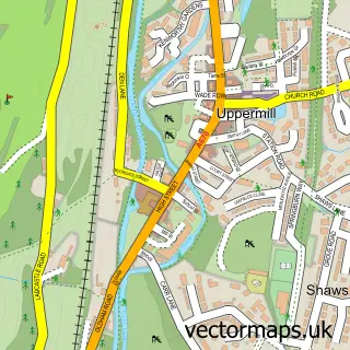
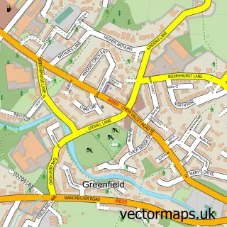
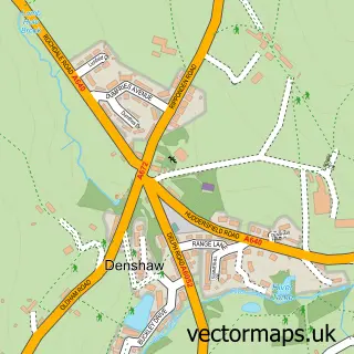
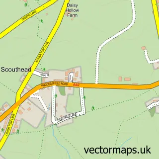
More street maps in Greater Manchester
750 metre map area coverage
Boundary, postcode and point of interest information for the 750m x 750m rectangle centred on this sample map.
Boundaries containing map centre
Constituency: Oldham East and Saddleworth Co Const
District: Oldham District (B)
Icb: NHS Greater Manchester ICB
Parish: Saddleworth CP
Police Force: greater manchester
Postcode District: OL3
Postcode Sector: OL3 5
Ward: Saddleworth North Ward
Nearby boundaries intersecting sample
No additional intersecting boundaries found.
Postcode coverage
POI category counts
Bed And Breakfast: 2
Gym: 2
Park: 2
Printing Services: 2
Anglican Church: 1
Arts And Crafts: 1
Audio Visual Equipment Store: 1
Automotive Repair: 1
Bar: 1
Breakfast And Brunch Restaurant: 1
Sample points of interest
- St Chad Saddleworth - Kilngreen
- Woolyknit
- Audiocounsel
- Dene Garage
- Wizards Hollow
- Sunfield Accommodation
- The Diggle Hotel
- Diggle Lock
- Simply Signs NW Ltd.
- LK Cars
- Iain Howarth Building Services
- Puddleducks Childrens Designer Clothing
Create a larger editable map of Diggle
This sample shows only a 750 metre area. To create a larger map of Diggle, use our map builder to choose your own coverage area, add titles and download editable SVG, PDF and PNG files.
Create a custom map of Diggle