Vector Maps logo
Home Why it works Popular maps Districts Samples Customizer Create Your Map
VectorMaps.uk
Home Popular maps Districts Samples Customizer Create Your Map Privacy Disclaimer
Home / UK Maps / Greater Manchester / Newhey Map

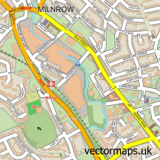
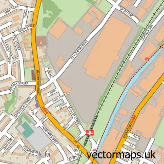
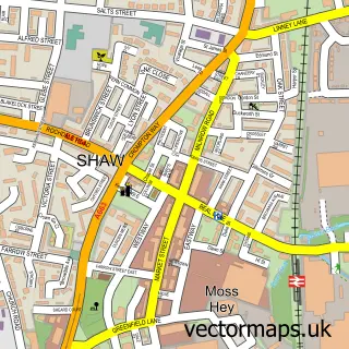
This Newhey street map is a detailed vector street map covering a 750m x 750m area. Select a larger area to create and download your own vector street map of Newhey.

Newhey is a village in Greater Manchester, in the North West of England. Historically, the area formed part of Lancashire. The settlement falls within the Rochdale parliamentary constituency. It is served by the OL16 postcode district, with OL16 4 as the

The 750-metre map sample for Newhey covers 244 mapped buildings and approximately 17.3 km of road detail, of which 43 named roads are named. The immediate area includes 1 school, 1 railway station, 2 GP surgeries, with 6 within 2 miles and 3 pubs among other local services. The wider area around Newhey features 1 tourism point of interest, 4 food and drink venues and 1 hotel. To create a larger or custom map of Newhey, the map builder lets you define your own coverage area and download editable SVG, PDF and PNG files.

244Buildings
17.3 kmRoads
43Named roads
21,448Residents within 2 miles
Create your own

Create a larger editable map of Newhey

Choose any area you need and generate a high-quality vector map instantly. Perfect for print, planning, design, business and personal use.

Choose any location
Editable SVG files
Any size up to A0
PDF, PNG & more
Instant download
High quality guaranteed
Create My Custom Map
Secure, private & no credit card required
Newhey Vector Street Map
750m Sample
Newhey vector street map sample showing roads, buildings and local features in a 750 metre preview area
Buy Newhey Map Print from £12.95 Buy Newhey Digital Map from £6

This Newhey street map in Greater Manchester is available as downloadable SVG, PDF and PNG map files, or as a printed map for planning, business, display, education, local information and design work. You can also create a larger custom map area using the map selector.

What this Newhey map sample shows

Newhey lies within Rochdale District (B) parish, part of Milnrow And Newhey ward in the Rochdale District (B) local authority area. The postcode geography for this area includes the OL postcode area, the OL16 postcode district and the OL16 4 postcode sector. Residents fall under the Nhs Greater Manchester Integrated Care Board for NHS services.

Local features near Newhey

Within 2 miles

Amenities and services in and around Newhey.

1 Schools
1 Railway stations
2 GP surgeries 6 within 2 miles
12 MOT stations within 2 miles
1 Tourism & leisure
4 Food & drink
3 Pubs
1 Hotels
3 Healthcare POIs
1 Vehicle services

Counts are approximate and based on publicly available data.

Administrative and postcode information for Newhey

Newhey lies within Rochdale District (B) parish, part of Milnrow And Newhey ward in the Rochdale District (B) local authority area. The postcode geography for this area includes the OL postcode area, the OL16 postcode district and the OL16 4 postcode sector. Residents fall under the Nhs Greater Manchester Integrated Care Board for NHS services.

Parish ROCHDALE DISTRICT (B)
Ward Milnrow and Newhey
District / local authority Rochdale District (B)
County Greater Manchester
Historic county Lancashire
Postcode district OL16
Postcode sector OL16 4
Parliamentary constituency Rochdale
Region North West
Country England

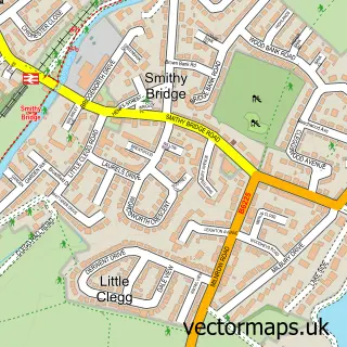
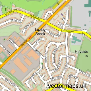
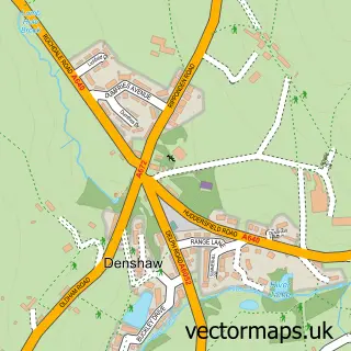
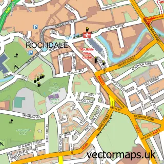
Nearby street map samples around Newhey

Street map sample of Milnrow, Greater Manchester Milnrow Town - Greater Manchester - 0.6 miles Street map sample of Manchester, Greater Manchester Manchester City - Greater Manchester - 10.3 miles Street map sample of Thornham, Greater Manchester Thornham Village - Greater Manchester - 1.9 miles Street map sample of Smithy Bridge, Greater Manchester Smithy Bridge Village - Greater Manchester - 2.1 miles Street map sample of Luzley Brook, Greater Manchester Luzley Brook Village - Greater Manchester - 2.5 miles Street map sample of Denshaw, Greater Manchester Denshaw Village - Greater Manchester - 2.6 miles Street map sample of Castleton, Greater Manchester Castleton Village - Greater Manchester - 3.2 miles Street map sample of Wardle, Greater Manchester Wardle Village - Greater Manchester - 3.5 miles Street map sample of Delph, Greater Manchester Delph Village - Greater Manchester - 3.8 miles Street map sample of Calderbrook, Greater Manchester Calderbrook Village - Greater Manchester - 4.0 miles

More street maps in Greater Manchester

Street map sample of Milnrow, Greater Manchester Milnrow Town - 0.6 miles Street map sample of Shaw, Greater Manchester Shaw Town - 1.7 miles Street map sample of Thornham, Greater Manchester Thornham Village - 1.9 miles Street map sample of Smithy Bridge, Greater Manchester Smithy Bridge Village - 2.1 miles Street map sample of Rochdale, Greater Manchester Rochdale Town - 2.5 miles

750 metre map area coverage

Boundary, postcode and point of interest information for the 750m x 750m rectangle centred on this sample map.

Boundaries containing map centre

Constituency: Rochdale Co Const

District: Rochdale District (B)

Icb: NHS Greater Manchester ICB

Police Force: greater manchester

Postcode District: OL16

Postcode Sector: OL16 3

Ward: Milnrow & Newhey Ward

Nearby boundaries intersecting sample

Postcode Sector: OL16 4

Postcode coverage

OL16 OL16 3 OL16 4

POI category counts

Beauty Salon: 3

Building Supply Store: 3

Pub: 3

Doctor: 2

Electrician: 2

Elementary School: 2

Post Office: 2

Steakhouse: 2

Train Station: 2

Accountant: 1

Sample points of interest

  • Accountancy-4-u Accountant
  • St Thomas, Newhey, Rochdale Anglican Church
  • The Avengers Universe Arts And Entertainment
  • Newhey Windows & Doors Auto Glass Service
  • Milnrow Mobile Valet Automotive
  • C K Mobile Auto Electrician Automotive Repair
  • John Milne Table Table Bar
  • Sweeney's Trims and Tans Barber
  • H.D cosmetic & aesthetic Beauty And Spa
  • Elements Day Spa Beauty Salon
  • Pristine beautyy Beauty Salon
  • The Beauty Spot Beauty Salon

Create a larger editable map of Newhey

This sample shows only a 750 metre area. To create a larger map of Newhey, use our map builder to choose your own coverage area, add titles and download editable SVG, PDF and PNG files.

Create a custom map of Newhey

Phone 01751 473136 | Copyright Vectormaps.uk 2026

Samples Customizer Privacy Disclaimer
Newhey Vector Street Map
Newhey enlarged street map sample showing a 750 metre preview area