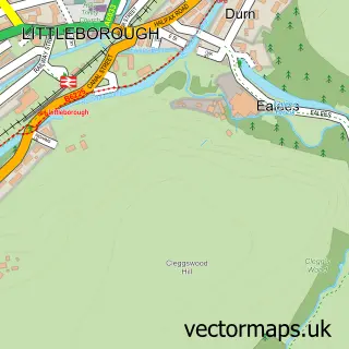
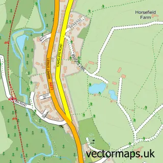
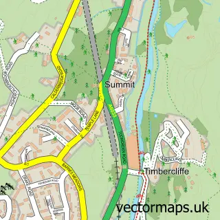
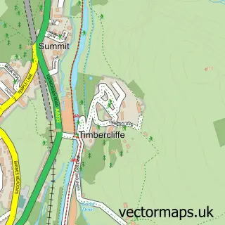
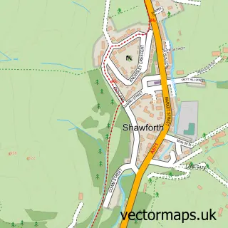
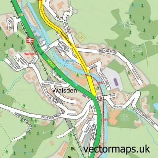
This Wardle street map is a detailed vector street map covering a 750m x 750m area. Select a larger area to create and download your own vector street map of Wardle.
The 750-metre map sample for Wardle covers 272 mapped buildings and approximately 13.7 km of road detail, of which 32 named roads are named. The immediate area includes 1 school, 8 GP surgeries within 2 miles, 5 pubs and 11 MOT stations within 2 miles. The wider area around Wardle features 5 food and drink venues. To create a larger or custom map of Wardle, the map builder lets you define your own coverage area and download editable SVG, PDF and PNG files.
Create a larger editable map of Wardle
Choose any area you need and generate a high-quality vector map instantly. Perfect for print, planning, design, business and personal use.

This Wardle street map in Greater Manchester is available as downloadable SVG, PDF and PNG map files, or as a printed map for planning, business, display, education, local information and design work. You can also create a larger custom map area using the map selector.
What this Wardle map sample shows
Wardle lies within Rochdale District (B) parish, part of Wardle And West Littleborough ward in the Rochdale District (B) local authority area. The postcode geography for this area includes the OL postcode area, the OL12 postcode district and the OL12 9 postcode sector. Residents fall under the Nhs Greater Manchester Integrated Care Board for NHS services.
Local features near Wardle
Within 2 milesAmenities and services in and around Wardle.
Administrative and postcode information for Wardle
The local authority covering Wardle is Rochdale District (B), within the county of Greater Manchester. The settlement lies within Wardle And West Littleborough ward and Rochdale District (B) civil parish. The OL12 postcode district and OL12 9 postcode sector serve the immediate area. NHS provision in the area is delivered through Manchester University Nhs Foundation Trust.
Nearby street map samples around Wardle

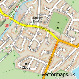
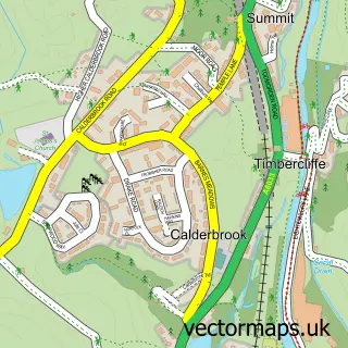
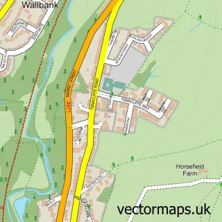
More street maps in Greater Manchester
750 metre map area coverage
Boundary, postcode and point of interest information for the 750m x 750m rectangle centred on this sample map.
Boundaries containing map centre
Constituency: Rochdale Co Const
District: Rochdale District (B)
Icb: NHS Greater Manchester ICB
Police Force: greater manchester
Postcode District: OL12
Postcode Sector: OL12 9
Ward: Wardle, Shore & West Littleborough Ward
Nearby boundaries intersecting sample
No additional intersecting boundaries found.
Postcode coverage
POI category counts
Pub: 5
Bakery: 2
Convenience Store: 2
Dentist: 2
Freight And Cargo Service: 2
Library: 2
Advertising Agency: 1
Beauty Salon: 1
Building Contractor: 1
Building Supply Store: 1
Sample points of interest
- Urbansoul
- Charlie's Coffee & Cakes
- Tattersalls
- LJM Beauty
- Paul Stollery Landscaping
- R M D Gardens & Landscapes
- Sounds Travel Ltd.
- Pemyn Courier Services
- Anthony Dearnley
- Craig Kershaw Joiner & Builder
- Helen Heap, OFSTED Registered Childminder
- Wardle Village Church
Create a larger editable map of Wardle
This sample shows only a 750 metre area. To create a larger map of Wardle, use our map builder to choose your own coverage area, add titles and download editable SVG, PDF and PNG files.
Create a custom map of Wardle