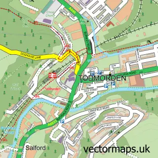
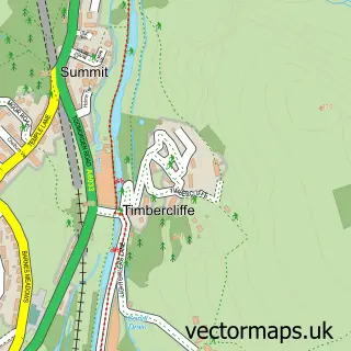
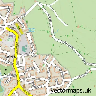
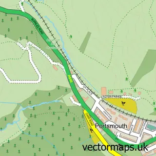
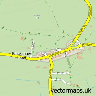
This Walsden street map is a detailed vector street map covering a 750m x 750m area. Select a larger area to create and download your own vector street map of Walsden.
The 750-metre map sample for Walsden covers 220 mapped buildings and approximately 12.7 km of road detail, of which 36 named roads are named. The immediate area includes 1 school, 1 railway station, 1 GP surgery within 2 miles and 1 MOT station, with 7 within 2 miles. The wider area around Walsden features 2 tourism points of interest. To create a larger or custom map of Walsden, the map builder lets you define your own coverage area and download editable SVG, PDF and PNG files.
Create a larger editable map of Walsden
Choose any area you need and generate a high-quality vector map instantly. Perfect for print, planning, design, business and personal use.

This Walsden street map in West Yorkshire is available as downloadable SVG, PDF and PNG map files, or as a printed map for planning, business, display, education, local information and design work. You can also create a larger custom map area using the map selector.
What this Walsden map sample shows
Walsden lies within Todmorden Cp parish, part of Todmorden ward in the Calderdale District (B) local authority area. The postcode geography for this area includes the OL postcode area, the OL14 postcode district and the OL14 6 postcode sector. Residents fall under the Nhs West Yorkshire Integrated Care Board for NHS services.
Local features near Walsden
Within 2 milesAmenities and services in and around Walsden.
Administrative and postcode information for Walsden
The local authority covering Walsden is Calderdale District (B), within the county of West Yorkshire. The settlement lies within Todmorden ward and Todmorden Cp civil parish. The OL14 postcode district and OL14 6 postcode sector serve the immediate area. NHS provision in the area is delivered through Calderdale And Huddersfield Nhs Foundation Trust.
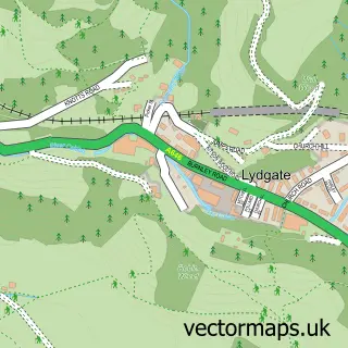
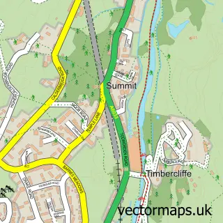
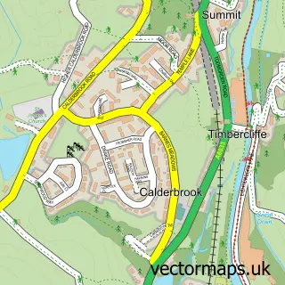
Nearby street map samples around Walsden

More street maps in West Yorkshire
750 metre map area coverage
Boundary, postcode and point of interest information for the 750m x 750m rectangle centred on this sample map.
Boundaries containing map centre
Constituency: Calder Valley Co Const
District: Calderdale District (B)
Icb: NHS West Yorkshire ICB
Parish: Todmorden CP
Police Force: west yorkshire
Postcode District: OL14
Postcode Sector: OL14 6
Ward: Todmorden Ward
Nearby boundaries intersecting sample
Postcode Sector: OL14 7
Postcode coverage
POI category counts
Train Station: 4
Automotive Repair: 3
Church Cathedral: 3
Package Locker: 2
Park: 2
Accommodation: 1
Anglican Church: 1
Art School: 1
Arts And Crafts: 1
Barber: 1
Sample points of interest
- Enchanting Haven Accommodation Todmorden
- St Peter’s Church Walsden
- Helen O'Grady Drama Academy
- Beyond Measure
- C & G Autos
- Gauxholme Services
- Todmordon
- Fortius Male Grooming
- Rosie Louise Beauty
- MCB Electrical Contractors
- Caldernet Systems
- R & S Autos
Create a larger editable map of Walsden
This sample shows only a 750 metre area. To create a larger map of Walsden, use our map builder to choose your own coverage area, add titles and download editable SVG, PDF and PNG files.
Create a custom map of Walsden