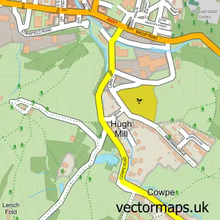
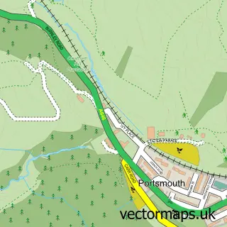
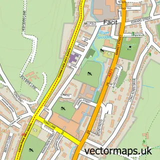
This Britannia street map is a detailed vector street map covering a 750m x 750m area. Select a larger area to create and download your own vector street map of Britannia.
The 750-metre map sample for Britannia covers 212 mapped buildings and approximately 11.6 km of road detail, of which 23 named roads are named. The immediate area includes 1 school, 1 GP surgery within 2 miles and 2 MOT stations within 2 miles. To create a larger or custom map of Britannia, the map builder lets you define your own coverage area and download editable SVG, PDF and PNG files.
Create a larger editable map of Britannia
Choose any area you need and generate a high-quality vector map instantly. Perfect for print, planning, design, business and personal use.

This Britannia street map in Lancashire is available as downloadable SVG, PDF and PNG map files, or as a printed map for planning, business, display, education, local information and design work. You can also create a larger custom map area using the map selector.
What this Britannia map sample shows
Britannia lies within Whitworth Cp parish, part of Facit And Shawforth ward in the Rossendale District (B) local authority area. The postcode geography for this area includes the OL postcode area, the OL13 postcode district and the OL13 9 postcode sector. Residents fall under the Nhs Lancashire And South Cumbria Integrated Care Board for NHS services.
Local features near Britannia
Within 2 milesAmenities and services in and around Britannia.
Administrative and postcode information for Britannia
Britannia lies within Whitworth Cp parish, part of Facit And Shawforth ward in the Rossendale District (B) local authority area. The postcode geography for this area includes the OL postcode area, the OL13 postcode district and the OL13 9 postcode sector. Residents fall under the Nhs Lancashire And South Cumbria Integrated Care Board for NHS services.
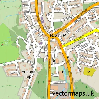
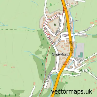
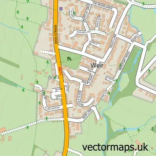
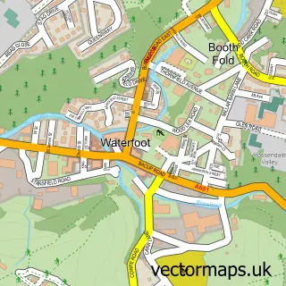
Nearby street map samples around Britannia

More street maps in Lancashire
750 metre map area coverage
Boundary, postcode and point of interest information for the 750m x 750m rectangle centred on this sample map.
Boundaries containing map centre
Constituency: Rossendale and Darwen Co Const
County: Lancashire County
District: Rossendale District (B)
Icb: NHS Lancashire and South Cumbria ICB
Police Force: lancashire
Postcode District: OL13
Postcode Sector: OL13 9
Ward: Britannia & Lee Mill Ward
Nearby boundaries intersecting sample
Parish: Whitworth CP
Ward: Whitworth Ward
Postcode coverage
POI category counts
Pet Groomer: 2
Professional Services: 2
B2b Textiles: 1
Bed And Breakfast: 1
Bridge: 1
Civil Engineers: 1
Clothing Store: 1
Contractor: 1
Convenience Store: 1
Currency Exchange: 1
Sample points of interest
- Lancashire Sock Manufacturing Company
- The Britannia Bed and Breakfast
- tong lane brittania
- Connor Specialist Paving Ltd.
- Focus Sports Apparel
- Howorth & Son Joinery
- Demi-licious Top Shop Britannia
- Post Office Travel Money
- Lancashire County Council
- Britannia Community Primary School
- Azaan Tandoori Takeaway
- North West Breeding Services
Create a larger editable map of Britannia
This sample shows only a 750 metre area. To create a larger map of Britannia, use our map builder to choose your own coverage area, add titles and download editable SVG, PDF and PNG files.
Create a custom map of Britannia