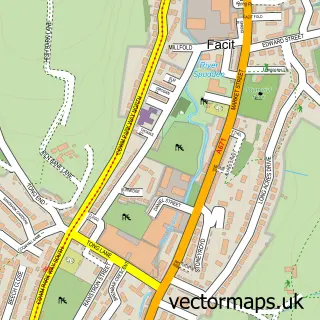
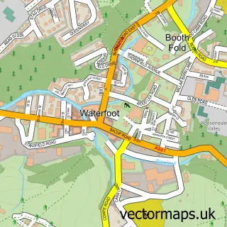
This Shawforth street map is a detailed vector street map covering a 750m x 750m area. Select a larger area to create and download your own vector street map of Shawforth.
The 750-metre map sample for Shawforth covers 147 mapped buildings and approximately 7.9 km of road detail, of which 12 named roads are named. The immediate area includes 1 school, 2 GP surgeries within 2 miles and 3 MOT stations within 2 miles. To create a larger or custom map of Shawforth, the map builder lets you define your own coverage area and download editable SVG, PDF and PNG files.
Create a larger editable map of Shawforth
Choose any area you need and generate a high-quality vector map instantly. Perfect for print, planning, design, business and personal use.

This Shawforth street map in Lancashire is available as downloadable SVG, PDF and PNG map files, or as a printed map for planning, business, display, education, local information and design work. You can also create a larger custom map area using the map selector.
What this Shawforth map sample shows
Shawforth lies within Whitworth Cp parish, part of Facit And Shawforth ward in the Rossendale District (B) local authority area. The postcode geography for this area includes the OL postcode area, the OL12 postcode district and the OL12 8 postcode sector. Residents fall under the Nhs Lancashire And South Cumbria Integrated Care Board for NHS services.
Local features near Shawforth
Within 2 milesAmenities and services in and around Shawforth.
Administrative and postcode information for Shawforth
Shawforth lies within Whitworth Cp parish, part of Facit And Shawforth ward in the Rossendale District (B) local authority area. The postcode geography for this area includes the OL postcode area, the OL12 postcode district and the OL12 8 postcode sector. Residents fall under the Nhs Lancashire And South Cumbria Integrated Care Board for NHS services.
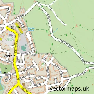
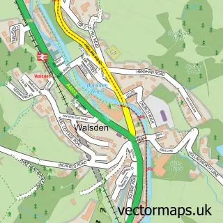
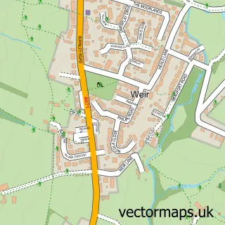
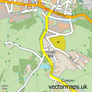
Nearby street map samples around Shawforth

More street maps in Lancashire
750 metre map area coverage
Boundary, postcode and point of interest information for the 750m x 750m rectangle centred on this sample map.
Boundaries containing map centre
Constituency: Rossendale and Darwen Co Const
County: Lancashire County
District: Rossendale District (B)
Icb: NHS Lancashire and South Cumbria ICB
Parish: Whitworth CP
Police Force: lancashire
Postcode District: OL12
Postcode Sector: OL12 8
Ward: Whitworth Ward
Nearby boundaries intersecting sample
No additional intersecting boundaries found.
Postcode coverage
POI category counts
Contractor: 2
Appliance Manufacturer: 1
Bathroom Remodeling: 1
Elementary School: 1
Equestrian Facility: 1
Fish And Chips Restaurant: 1
Home Service: 1
Professional Services: 1
Social Service Organizations: 1
Sports And Recreation Venue: 1
Sample points of interest
- Castle Footwear
- Bathfit Bathrooms
- Kevin Wellington Decorators
- The Trades Team
- St John With St Michael Church of England Primary School
- M Miller Saddler
- Ashton's FISH and CHIPS
- Wetwerx Commercial Cleaning
- P H Welding Services
- Lifetime Opportunities
- M Miller Saddler
- Shawforth railway station
Create a larger editable map of Shawforth
This sample shows only a 750 metre area. To create a larger map of Shawforth, use our map builder to choose your own coverage area, add titles and download editable SVG, PDF and PNG files.
Create a custom map of Shawforth