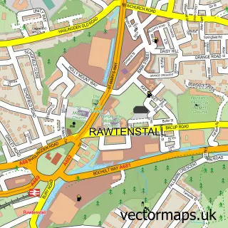
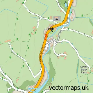
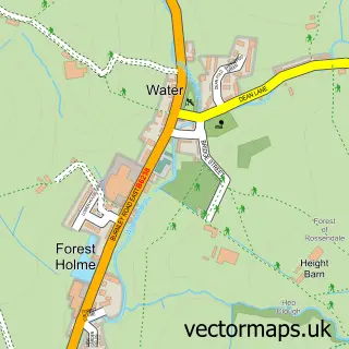
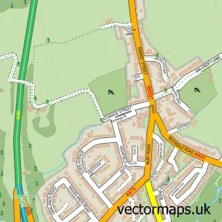
This Waterfoot street map is a detailed vector street map covering a 750m x 750m area. Select a larger area to create and download your own vector street map of Waterfoot.
The 750-metre map sample for Waterfoot covers 280 mapped buildings and approximately 17.5 km of road detail, of which 47 named roads are named. The immediate area includes 1 primary school and 1 secondary school, 1 GP surgery, with 4 within 2 miles, 4 pubs and 1 MOT station, with 7 within 2 miles. The wider area around Waterfoot features 1 tourism point of interest, 8 food and drink venues and 1 hotel. To create a larger or custom map of Waterfoot, the map builder lets you define your own coverage area and download editable SVG, PDF and PNG files.
Create a larger editable map of Waterfoot
Choose any area you need and generate a high-quality vector map instantly. Perfect for print, planning, design, business and personal use.

This Waterfoot street map in Lancashire is available as downloadable SVG, PDF and PNG map files, or as a printed map for planning, business, display, education, local information and design work. You can also create a larger custom map area using the map selector.
What this Waterfoot map sample shows
Waterfoot lies within Lancashire County parish, part of Whitewell ward in the Rossendale District (B) local authority area. The postcode geography for this area includes the BB postcode area, the BB4 postcode district and the BB4 7 postcode sector. Residents fall under the Nhs Lancashire And South Cumbria Integrated Care Board for NHS services.
Local features near Waterfoot
Within 2 milesAmenities and services in and around Waterfoot.
Administrative and postcode information for Waterfoot
Waterfoot lies within Lancashire County parish, part of Whitewell ward in the Rossendale District (B) local authority area. The postcode geography for this area includes the BB postcode area, the BB4 postcode district and the BB4 7 postcode sector. Residents fall under the Nhs Lancashire And South Cumbria Integrated Care Board for NHS services.
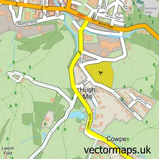
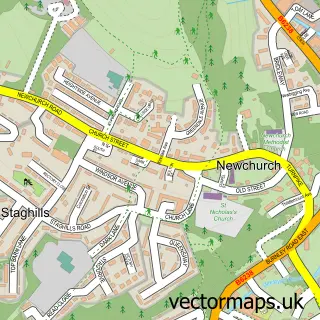
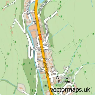
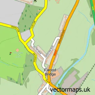
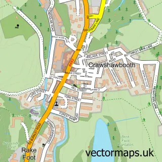
Nearby street map samples around Waterfoot

More street maps in Lancashire
750 metre map area coverage
Boundary, postcode and point of interest information for the 750m x 750m rectangle centred on this sample map.
Boundaries containing map centre
Constituency: Rossendale and Darwen Co Const
County: Lancashire County
District: Rossendale District (B)
Icb: NHS Lancashire and South Cumbria ICB
Police Force: lancashire
Postcode District: BB4
Postcode Sector: BB4 7
Ward: Hareholme & Waterfoot Ward
Nearby boundaries intersecting sample
Postcode District: OL13
Postcode Sector: BB4 9, OL13 0
Ward: Whitewell & Stacksteads Ward
Postcode coverage
POI category counts
Beauty Salon: 5
Building Supply Store: 5
Hair Salon: 5
Pub: 4
Bakery: 3
Barber: 3
Business Consulting: 3
Elementary School: 3
Fast Food Restaurant: 3
Funeral Services And Cemeteries: 3
Sample points of interest
- Abc Consulting Accountants & Business Advisers Ltd.
- Jessica Calvert Acupuncture
- PayPoint
- The Cooperative Food (BF) Waterfoot, Waterfoot
- Waterfoot Auction
- Vanworld
- Manning Bakery
- Manning's Bakers
- Manning's Bakers
- Jemma's Shear Shack barbers
- Muz's Barbers Shop
- Royal Cut
Create a larger editable map of Waterfoot
This sample shows only a 750 metre area. To create a larger map of Waterfoot, use our map builder to choose your own coverage area, add titles and download editable SVG, PDF and PNG files.
Create a custom map of Waterfoot