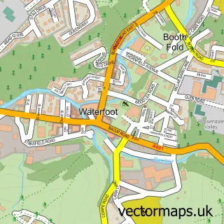
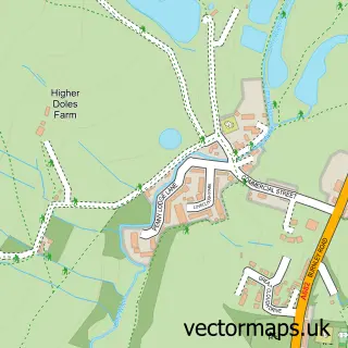
This Sagar Holme street map is a detailed vector street map covering a 750m x 750m area. Select a larger area to create and download your own vector street map of Sagar Holme.
The 750-metre map sample for Sagar Holme covers 136 mapped buildings and approximately 8.8 km of road detail, of which 19 named roads are named. The immediate area includes 4 GP surgeries within 2 miles and 9 MOT stations within 2 miles. To create a larger or custom map of Sagar Holme, the map builder lets you define your own coverage area and download editable SVG, PDF and PNG files.
Create a larger editable map of Sagar Holme
Choose any area you need and generate a high-quality vector map instantly. Perfect for print, planning, design, business and personal use.

This Sagar Holme street map in Lancashire is available as downloadable SVG, PDF and PNG map files, or as a printed map for planning, business, display, education, local information and design work. You can also create a larger custom map area using the map selector.
What this Sagar Holme map sample shows
Sagar Holme lies within Lancashire County parish, part of Stacksteads ward in the Rossendale District (B) local authority area. The postcode geography for this area includes the OL postcode area, the OL13 postcode district and the OL13 8 postcode sector. Residents fall under the Nhs Lancashire And South Cumbria Integrated Care Board for NHS services.
Local features near Sagar Holme
Within 2 milesAmenities and services in and around Sagar Holme.
Administrative and postcode information for Sagar Holme
The local authority covering Sagar Holme is Rossendale District (B), within the county of Lancashire. The settlement lies within Stacksteads ward and Lancashire County civil parish. The OL13 postcode district and OL13 8 postcode sector serve the immediate area. NHS provision in the area is delivered through East Lancashire Hospitals Nhs Trust.
Nearby street map samples around Sagar Holme
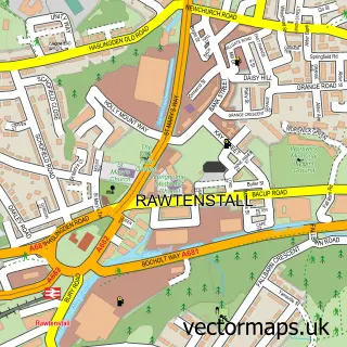

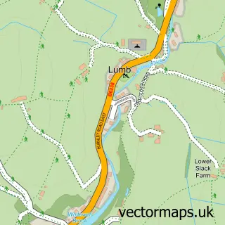
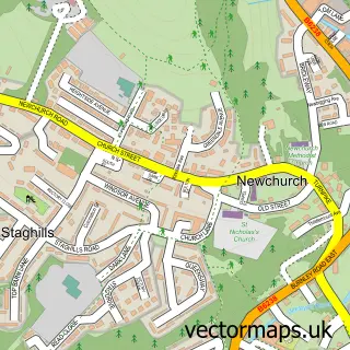
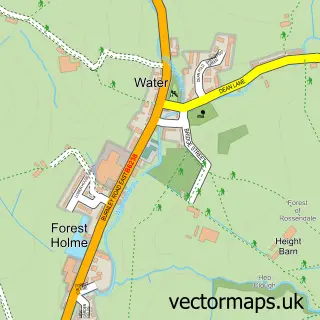
More street maps in Lancashire
750 metre map area coverage
Boundary, postcode and point of interest information for the 750m x 750m rectangle centred on this sample map.
Boundaries containing map centre
Constituency: Rossendale and Darwen Co Const
County: Lancashire County
District: Rossendale District (B)
Icb: NHS Lancashire and South Cumbria ICB
Police Force: lancashire
Postcode District: BB4
Postcode Sector: BB4 9
Ward: Whitewell & Stacksteads Ward
Nearby boundaries intersecting sample
No additional intersecting boundaries found.
Postcode coverage
POI category counts
Printing Services: 2
Community Center: 1
Construction Services: 1
Convenience Store: 1
Day Care Preschool: 1
Event Photography: 1
Garbage Collection Service: 1
Martial Arts Club: 1
Parking: 1
Professional Services: 1
Sample points of interest
- Whitewell Bottom Community Centre
- Hawthorn Estates Ltd
- AJ's Corner Shop
- Whitewell Bottom Pre School
- White Iris Photography
- Suprafilt Ltd
- Tani Kai Karate
- Premier Services
- Down's Syndrome Lancashire
- Rossendale Drum Majorettes
- Hawthorne Motor Services
- DawnVale
Create a larger editable map of Sagar Holme
This sample shows only a 750 metre area. To create a larger map of Sagar Holme, use our map builder to choose your own coverage area, add titles and download editable SVG, PDF and PNG files.
Create a custom map of Sagar Holme