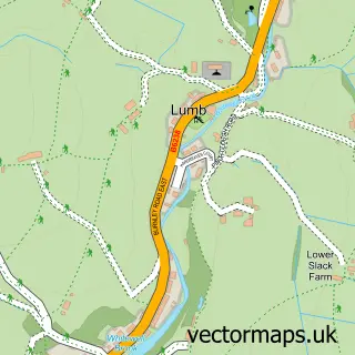
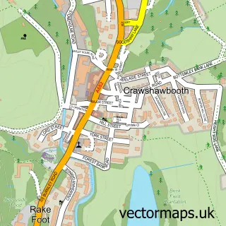
This Water street map is a detailed vector street map covering a 750m x 750m area. Select a larger area to create and download your own vector street map of Water.
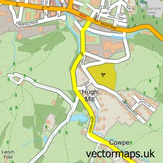
The 750-metre map sample for Water covers 114 mapped buildings and approximately 6.6 km of road detail, of which 9 named roads are named. The immediate area includes 1 school, 1 pub and 3 MOT stations within 2 miles. The wider area around Water features 2 tourism points of interest and 2 food and drink venues. To create a larger or custom map of Water, the map builder lets you define your own coverage area and download editable SVG, PDF and PNG files.
Create a larger editable map of Water
Choose any area you need and generate a high-quality vector map instantly. Perfect for print, planning, design, business and personal use.

This Water street map in Lancashire is available as downloadable SVG, PDF and PNG map files, or as a printed map for planning, business, display, education, local information and design work. You can also create a larger custom map area using the map selector.
What this Water map sample shows
Water lies within Lancashire County parish, part of Whitewell ward in the Rossendale District (B) local authority area. The postcode geography for this area includes the BB postcode area, the BB4 postcode district and the BB4 9 postcode sector. Residents fall under the Nhs Lancashire And South Cumbria Integrated Care Board for NHS services.
Local features near Water
Within 2 milesAmenities and services in and around Water.
Administrative and postcode information for Water
The local authority covering Water is Rossendale District (B), within the county of Lancashire. The settlement lies within Whitewell ward and Lancashire County civil parish. The BB4 postcode district and BB4 9 postcode sector serve the immediate area. NHS provision in the area is delivered through East Lancashire Hospitals Nhs Trust.
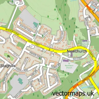
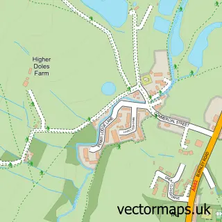
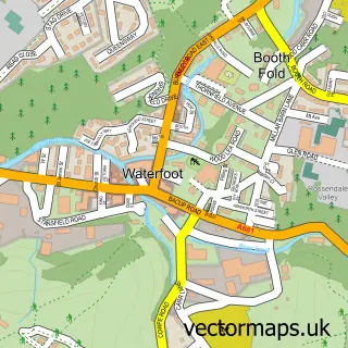
Nearby street map samples around Water
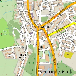

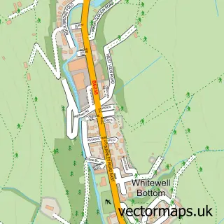
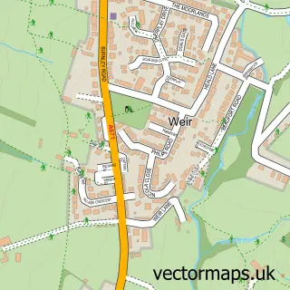
More street maps in Lancashire
750 metre map area coverage
Boundary, postcode and point of interest information for the 750m x 750m rectangle centred on this sample map.
Boundaries containing map centre
Constituency: Rossendale and Darwen Co Const
County: Lancashire County
District: Rossendale District (B)
Icb: NHS Lancashire and South Cumbria ICB
Police Force: lancashire
Postcode District: BB4
Postcode Sector: BB4 9
Ward: Whitewell & Stacksteads Ward
Nearby boundaries intersecting sample
No additional intersecting boundaries found.
Postcode coverage
POI category counts
Logging Equipment And Supplies: 2
Antique Store: 1
Bar: 1
Beauty Product Supplier: 1
Cafe: 1
Engineering Services: 1
Furniture Assembly: 1
Health And Medical: 1
Landmark And Historical Building: 1
Metal Fabricator: 1
Sample points of interest
- Forest Mill Antiques
- Commercial Inn
- Repechage Europe Ltd.
- The Water Trough
- JS GAS & OIL Ltd.
- Browns Restoration & Wood Finishing
- Just Health Hgv Medical Clinic Rossendale
- Forest Holme
- A S G Tree Services
- ASG Tree Services Ltd.
- Hazelwood Welding Services Ltd
- Water County Primary School
Create a larger editable map of Water
This sample shows only a 750 metre area. To create a larger map of Water, use our map builder to choose your own coverage area, add titles and download editable SVG, PDF and PNG files.
Create a custom map of Water