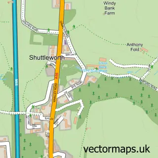
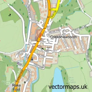
This Ewood Bridge street map is a detailed vector street map covering a 750m x 750m area. Select a larger area to create and download your own vector street map of Ewood Bridge.
The 750-metre map sample for Ewood Bridge covers 69 mapped buildings and approximately 9.2 km of road detail, of which 9 named roads are named. The immediate area includes 1 school, 6 GP surgeries within 2 miles and 9 MOT stations within 2 miles. The wider area around Ewood Bridge features 1 campsite within 2 miles. To create a larger or custom map of Ewood Bridge, the map builder lets you define your own coverage area and download editable SVG, PDF and PNG files.
Create a larger editable map of Ewood Bridge
Choose any area you need and generate a high-quality vector map instantly. Perfect for print, planning, design, business and personal use.

This Ewood Bridge street map in Lancashire is available as downloadable SVG, PDF and PNG map files, or as a printed map for planning, business, display, education, local information and design work. You can also create a larger custom map area using the map selector.
What this Ewood Bridge map sample shows
Ewood Bridge lies within Lancashire County parish, part of Greenfield ward in the Rossendale District (B) local authority area. The postcode geography for this area includes the BB postcode area, the BB4 postcode district and the BB4 6 postcode sector. Residents fall under the Nhs Lancashire And South Cumbria Integrated Care Board for NHS services.
Local features near Ewood Bridge
Within 2 milesAmenities and services in and around Ewood Bridge.
Administrative and postcode information for Ewood Bridge
Ewood Bridge lies within Lancashire County parish, part of Greenfield ward in the Rossendale District (B) local authority area. The postcode geography for this area includes the BB postcode area, the BB4 postcode district and the BB4 6 postcode sector. Residents fall under the Nhs Lancashire And South Cumbria Integrated Care Board for NHS services.
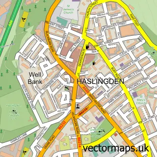
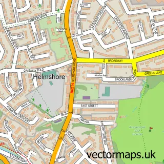
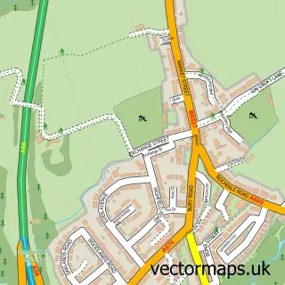
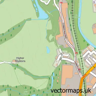
Nearby street map samples around Ewood Bridge

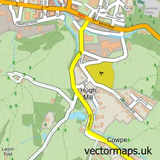
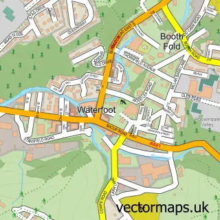
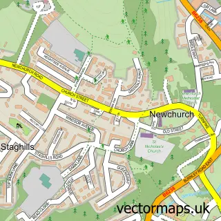
More street maps in Lancashire
750 metre map area coverage
Boundary, postcode and point of interest information for the 750m x 750m rectangle centred on this sample map.
Boundaries containing map centre
Constituency: Hyndburn Co Const
County: Lancashire County
District: Rossendale District (B)
Icb: NHS Lancashire and South Cumbria ICB
Police Force: lancashire
Postcode District: BB4
Postcode Sector: BB4 6
Ward: Greenfield & Eden Ward
Nearby boundaries intersecting sample
Constituency: Rossendale and Darwen Co Const
Postcode Sector: BB4 4
Postcode coverage
POI category counts
Golf Course: 2
Auto Body Shop: 1
Corporate Office: 1
Engineering Services: 1
Gas Station: 1
Golf Equipment: 1
Home Cleaning: 1
Home Goods Store: 1
Hvac Services: 1
Landscaping: 1
Sample points of interest
- Mint Autos
- Fusion Uk
- Beard Engineering Solutions
- Shell
- Rossendale Golf Club
- Rossendale Golf Club
- The Professional Shop
- LCCS Cleaning
- Harbenware
- Air Conditioning Design
- Clegg Landscapes Ltd & Easigrass Lancashire
- Valley Shorai Karate Club
Create a larger editable map of Ewood Bridge
This sample shows only a 750 metre area. To create a larger map of Ewood Bridge, use our map builder to choose your own coverage area, add titles and download editable SVG, PDF and PNG files.
Create a custom map of Ewood Bridge