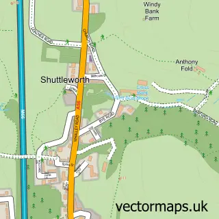
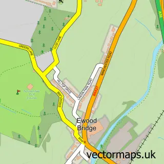
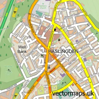
This Stubbins street map is a detailed vector street map covering a 750m x 750m area. Select a larger area to create and download your own vector street map of Stubbins.
The 750-metre map sample for Stubbins covers 80 mapped buildings and approximately 5.6 km of road detail, of which 9 named roads are named. The immediate area includes 1 GP surgery within 2 miles and 7 MOT stations within 2 miles. The wider area around Stubbins features 1 tourism point of interest and 1 campsite within 2 miles. To create a larger or custom map of Stubbins, the map builder lets you define your own coverage area and download editable SVG, PDF and PNG files.
Create a larger editable map of Stubbins
Choose any area you need and generate a high-quality vector map instantly. Perfect for print, planning, design, business and personal use.

This Stubbins street map in Lancashire is available as downloadable SVG, PDF and PNG map files, or as a printed map for planning, business, display, education, local information and design work. You can also create a larger custom map area using the map selector.
What this Stubbins map sample shows
Stubbins lies within Lancashire County parish, part of Eden ward in the Rossendale District (B) local authority area. The postcode geography for this area includes the BL postcode area, the BL0 postcode district and the BL0 0 postcode sector. Residents fall under the Nhs Lancashire And South Cumbria Integrated Care Board for NHS services.
Local features near Stubbins
Within 2 milesAmenities and services in and around Stubbins.
Administrative and postcode information for Stubbins
The local authority covering Stubbins is Rossendale District (B), within the county of Lancashire. The settlement lies within Eden ward and Lancashire County civil parish. The BL0 postcode district and BL0 0 postcode sector serve the immediate area. NHS provision in the area is delivered through East Lancashire Hospitals Nhs Trust.
Nearby street map samples around Stubbins


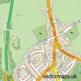
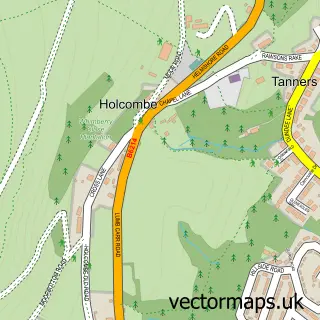
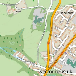
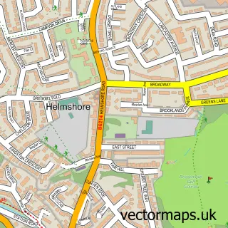
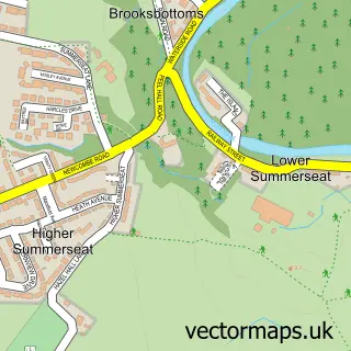
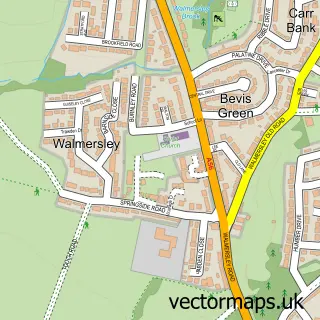
More street maps in Lancashire

750 metre map area coverage
Boundary, postcode and point of interest information for the 750m x 750m rectangle centred on this sample map.
Boundaries containing map centre
Constituency: Rossendale and Darwen Co Const
County: Lancashire County
District: Rossendale District (B)
Icb: NHS Lancashire and South Cumbria ICB
Police Force: lancashire
Postcode District: BL0
Postcode Sector: BL0 0
Ward: Greenfield & Eden Ward
Nearby boundaries intersecting sample
District: Bury District (B)
Police Force: greater manchester
Postcode District: BL8
Postcode Sector: BL8 4
Ward: Helmshore Ward, Ramsbottom Ward
Postcode coverage
POI category counts
Business Manufacturing And Supply: 3
Pet Store: 3
Gym: 2
Barber: 1
Beauty And Spa: 1
Business Management Services: 1
Convenience Store: 1
Corporate Office: 1
Engineering Services: 1
Event Photography: 1
Sample points of interest
- The Barbers Inn
- Kane Anthony Hair salon
- Fashion Master Ltd.
- Essity
- Exquisite Plates Ltd
- Melba Swintex
- Pauls Corner Shop
- Phil Coppell Ltd.
- Alphatek Hyperformance Coatings
- Bigtank
- Burning Desire Fireplace Centre
- T N T
Create a larger editable map of Stubbins
This sample shows only a 750 metre area. To create a larger map of Stubbins, use our map builder to choose your own coverage area, add titles and download editable SVG, PDF and PNG files.
Create a custom map of Stubbins