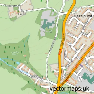
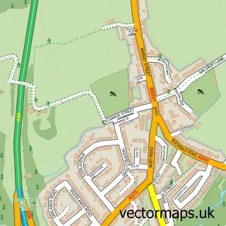
This Holcombe street map is a detailed vector street map covering a 750m x 750m area. Select a larger area to create and download your own vector street map of Holcombe.
The 750-metre map sample for Holcombe covers 151 mapped buildings and approximately 11.8 km of road detail, of which 21 named roads are named. The immediate area includes 1 school, 2 GP surgeries within 2 miles, 2 pubs and 4 MOT stations within 2 miles. The wider area around Holcombe features 2 food and drink venues and 1 campsite within 2 miles. To create a larger or custom map of Holcombe, the map builder lets you define your own coverage area and download editable SVG, PDF and PNG files.
Create a larger editable map of Holcombe
Choose any area you need and generate a high-quality vector map instantly. Perfect for print, planning, design, business and personal use.

This Holcombe street map in Greater Manchester is available as downloadable SVG, PDF and PNG map files, or as a printed map for planning, business, display, education, local information and design work. You can also create a larger custom map area using the map selector.
What this Holcombe map sample shows
Holcombe lies within Bury District (B) parish, part of Ramsbottom ward in the Bury District (B) local authority area. The postcode geography for this area includes the BL postcode area, the BL0 postcode district and the BL0 9 postcode sector. Residents fall under the Nhs Greater Manchester Integrated Care Board for NHS services.
Local features near Holcombe
Within 2 milesAmenities and services in and around Holcombe.
Administrative and postcode information for Holcombe
The local authority covering Holcombe is Bury District (B), within the county of Greater Manchester. The settlement lies within Ramsbottom ward and Bury District (B) civil parish. The BL0 postcode district and BL0 9 postcode sector serve the immediate area. NHS provision in the area is delivered through Bolton Nhs Foundation Trust.
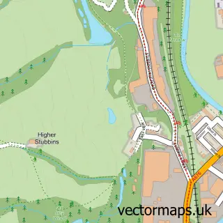
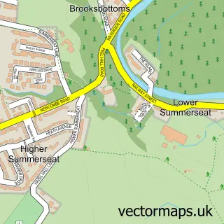
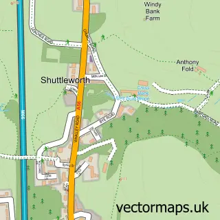
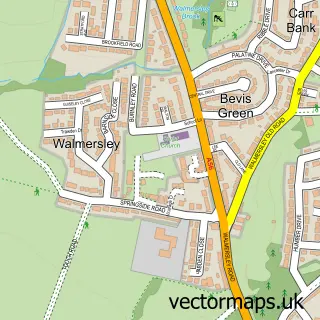
Nearby street map samples around Holcombe


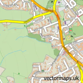

More street maps in Greater Manchester
750 metre map area coverage
Boundary, postcode and point of interest information for the 750m x 750m rectangle centred on this sample map.
Boundaries containing map centre
Constituency: Bury North Boro Const
District: Bury District (B)
Icb: NHS Greater Manchester ICB
Police Force: greater manchester
Postcode District: BL8
Postcode Sector: BL8 4
Ward: Ramsbottom Ward
Nearby boundaries intersecting sample
Postcode District: BL0
Postcode Sector: BL0 9
Postcode coverage
POI category counts
Pub: 2
Business Management Services: 1
Carpenter: 1
Church Cathedral: 1
Elementary School: 1
Equestrian Facility: 1
Gastropub: 1
Indian Restaurant: 1
Monument: 1
Plumbing: 1
Sample points of interest
- Ræcan Marketing Solutions Ltd.
- Hillside Landscapes
- Emmanuel Church
- Emmanuel Holcombe Church of England Primary School
- Margaret Haes Riding Centre
- The Shoulder of Mutton
- Mala Indian Cuisine
- Peel Tower
- Peel Plumbing and Heating
- Shoulder Of Mutton
- Shoulder of Mutton
- 5th Ramsbottom (Holcombe) with 3rd Ramsbottom (St Joseph's)
Create a larger editable map of Holcombe
This sample shows only a 750 metre area. To create a larger map of Holcombe, use our map builder to choose your own coverage area, add titles and download editable SVG, PDF and PNG files.
Create a custom map of Holcombe