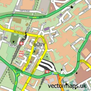
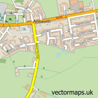
This Tottington street map is a detailed vector street map covering a 750m x 750m area. Select a larger area to create and download your own vector street map of Tottington.
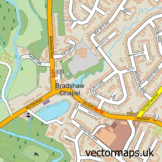
The 750-metre map sample for Tottington covers 350 mapped buildings and approximately 14.8 km of road detail, of which 42 named roads are named. The immediate area includes 1 GP surgery, with 4 within 2 miles, 5 pubs and 8 MOT stations within 2 miles. The wider area around Tottington features 2 tourism points of interest and 8 food and drink venues. To create a larger or custom map of Tottington, the map builder lets you define your own coverage area and download editable SVG, PDF and PNG files.
Create a larger editable map of Tottington
Choose any area you need and generate a high-quality vector map instantly. Perfect for print, planning, design, business and personal use.

This Tottington street map in Greater Manchester is available as downloadable SVG, PDF and PNG map files, or as a printed map for planning, business, display, education, local information and design work. You can also create a larger custom map area using the map selector.
What this Tottington map sample shows
Tottington lies within Bury District (B) parish, part of Tottington ward in the Bury District (B) local authority area. The postcode geography for this area includes the BL postcode area, the BL8 postcode district and the BL8 3 postcode sector. Residents fall under the Nhs Greater Manchester Integrated Care Board for NHS services.
Local features near Tottington
Within 2 milesAmenities and services in and around Tottington.
Administrative and postcode information for Tottington
Tottington lies within Bury District (B) parish, part of Tottington ward in the Bury District (B) local authority area. The postcode geography for this area includes the BL postcode area, the BL8 postcode district and the BL8 3 postcode sector. Residents fall under the Nhs Greater Manchester Integrated Care Board for NHS services.
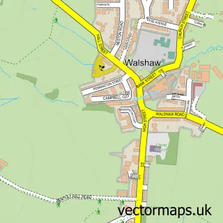
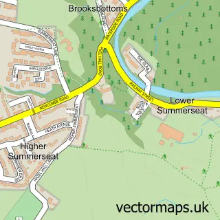
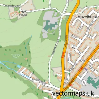
Nearby street map samples around Tottington

More street maps in Greater Manchester
750 metre map area coverage
Boundary, postcode and point of interest information for the 750m x 750m rectangle centred on this sample map.
Boundaries containing map centre
Constituency: Bury North Boro Const
District: Bury District (B)
Icb: NHS Greater Manchester ICB
Police Force: greater manchester
Postcode District: BL8
Postcode Sector: BL8 3
Ward: Tottington Ward
Nearby boundaries intersecting sample
Postcode Sector: BL8 4
Postcode coverage
POI category counts
Beauty Salon: 9
Doctor: 5
Pub: 5
Hair Salon: 4
Convenience Store: 3
Gym: 3
Physical Therapy: 3
Auto Loan Provider: 2
Automotive Repair: 2
Barber: 2
Sample points of interest
- Anthony Marshall
- F.I.T
- KT Digital Marketing
- St Anne
- The Cooperative Food (BF) Tottington (ERF), Tottington
- Motorscreen
- Access 2 Mortgages
- JFS Mortgage Services
- The Re-Upholstery Specialist
- Heenans Village Garage
- Unipart Car Care Centre
- Reach Digital
Create a larger editable map of Tottington
This sample shows only a 750 metre area. To create a larger map of Tottington, use our map builder to choose your own coverage area, add titles and download editable SVG, PDF and PNG files.
Create a custom map of Tottington