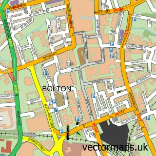
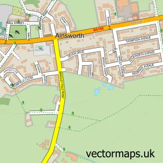
This Bradshaw street map is a detailed vector street map covering a 750m x 750m area. Select a larger area to create and download your own vector street map of Bradshaw.
The 750-metre map sample for Bradshaw covers 398 mapped buildings and approximately 14.2 km of road detail, of which 32 named roads are named. The immediate area includes 1 school, 1 GP surgery, with 15 within 2 miles, 5 pubs and 1 MOT station, with 17 within 2 miles. The wider area around Bradshaw features 2 tourism points of interest and 8 food and drink venues. To create a larger or custom map of Bradshaw, the map builder lets you define your own coverage area and download editable SVG, PDF and PNG files.
Create a larger editable map of Bradshaw
Choose any area you need and generate a high-quality vector map instantly. Perfect for print, planning, design, business and personal use.

This Bradshaw street map in Greater Manchester is available as downloadable SVG, PDF and PNG map files, or as a printed map for planning, business, display, education, local information and design work. You can also create a larger custom map area using the map selector.
What this Bradshaw map sample shows
Bradshaw lies within Bolton District (B) parish, part of Bradshaw ward in the Bolton District (B) local authority area. The postcode geography for this area includes the BL postcode area, the BL2 postcode district and the BL2 3 postcode sector. Residents fall under the Nhs Greater Manchester Integrated Care Board for NHS services.
Local features near Bradshaw
Within 2 milesAmenities and services in and around Bradshaw.
Administrative and postcode information for Bradshaw
Bradshaw lies within Bolton District (B) parish, part of Bradshaw ward in the Bolton District (B) local authority area. The postcode geography for this area includes the BL postcode area, the BL2 postcode district and the BL2 3 postcode sector. Residents fall under the Nhs Greater Manchester Integrated Care Board for NHS services.
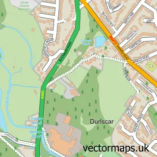
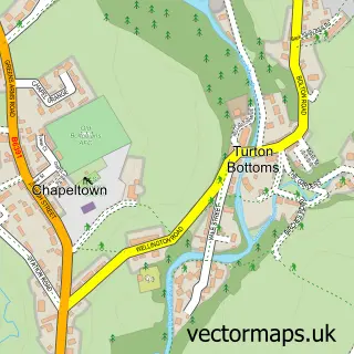
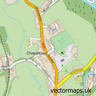
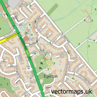
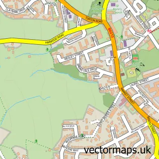
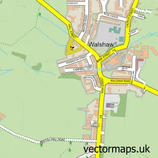
Nearby street map samples around Bradshaw


More street maps in Greater Manchester
750 metre map area coverage
Boundary, postcode and point of interest information for the 750m x 750m rectangle centred on this sample map.
Boundaries containing map centre
Constituency: Bolton North East Boro Const
District: Bolton District (B)
Icb: NHS Greater Manchester ICB
Police Force: greater manchester
Postcode District: BL2
Postcode Sector: BL2 4
Ward: Bradshaw Ward
Nearby boundaries intersecting sample
Postcode Sector: BL2 3
Postcode coverage
POI category counts
Beauty Salon: 6
Building Supply Store: 6
Hair Salon: 5
Pub: 5
Beauty And Spa: 3
Financial Service: 3
Package Locker: 3
Post Office: 3
Professional Services: 3
Real Estate Agent: 3
Sample points of interest
- Cura Accounting Ltd.
- Kubek
- Miller Metcalfe Estate Agents
- Thai Kitchen
- NT Liston Autobodies
- Venture Automotive
- J Gradwell and Sons
- John Green
- Porters Cafe and Wine Bar
- Aaron's Barbers
- Avon - Bradshaw Beautique
- Beauty with Beth
Create a larger editable map of Bradshaw
This sample shows only a 750 metre area. To create a larger map of Bradshaw, use our map builder to choose your own coverage area, add titles and download editable SVG, PDF and PNG files.
Create a custom map of Bradshaw