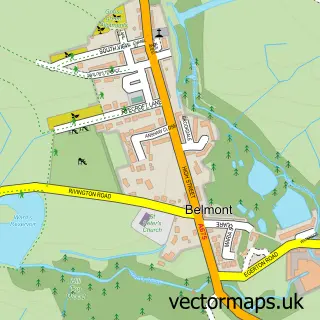
This Egerton street map is a detailed vector street map covering a 750m x 750m area. Select a larger area to create and download your own vector street map of Egerton.
The 750-metre map sample for Egerton covers 375 mapped buildings and approximately 16.2 km of road detail, of which 44 named roads are named. The immediate area includes 3 GP surgeries within 2 miles, 2 pubs and 1 MOT station, with 3 within 2 miles. The wider area around Egerton features 1 tourism point of interest, 4 food and drink venues and 1 hotel. To create a larger or custom map of Egerton, the map builder lets you define your own coverage area and download editable SVG, PDF and PNG files.
Create a larger editable map of Egerton
Choose any area you need and generate a high-quality vector map instantly. Perfect for print, planning, design, business and personal use.

This Egerton street map in Greater Manchester is available as downloadable SVG, PDF and PNG map files, or as a printed map for planning, business, display, education, local information and design work. You can also create a larger custom map area using the map selector.
What this Egerton map sample shows
Egerton lies within Bolton District (B) parish, part of Bromley Cross ward in the Bolton District (B) local authority area. The postcode geography for this area includes the BL postcode area, the BL7 postcode district and the BL7 9 postcode sector. Residents fall under the Nhs Greater Manchester Integrated Care Board for NHS services.
Local features near Egerton
Within 2 milesAmenities and services in and around Egerton.
Administrative and postcode information for Egerton
The local authority covering Egerton is Bolton District (B), within the county of Greater Manchester. The settlement lies within Bromley Cross ward and Bolton District (B) civil parish. The BL7 postcode district and BL7 9 postcode sector serve the immediate area. NHS provision in the area is delivered through Bolton Nhs Foundation Trust.
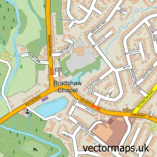
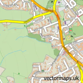
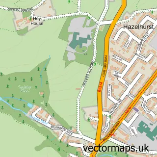
Nearby street map samples around Egerton
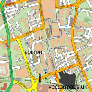

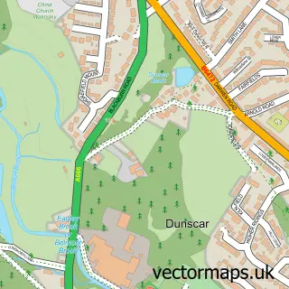
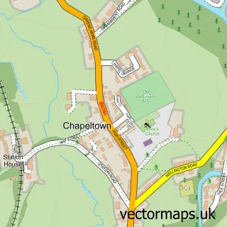
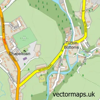

More street maps in Greater Manchester
750 metre map area coverage
Boundary, postcode and point of interest information for the 750m x 750m rectangle centred on this sample map.
Boundaries containing map centre
Constituency: Bolton North East Boro Const
District: Bolton District (B)
Icb: NHS Greater Manchester ICB
Police Force: greater manchester
Postcode District: BL7
Postcode Sector: BL7 9
Ward: Bromley Cross Ward
Nearby boundaries intersecting sample
No additional intersecting boundaries found.
Postcode coverage
POI category counts
Beauty Salon: 4
Building Supply Store: 2
Church Cathedral: 2
Contractor: 2
Professional Services: 2
Pub: 2
Tutoring Center: 2
Used Car Dealer: 2
Accountant: 1
Appliance Repair Service: 1
Sample points of interest
- Level Accounting
- Derek Anderton and Son
- Art Lessons By Irina
- The Woollen Hideaway
- Flag Motors
- The Cutting Edge Hair salon, Egerton
- Belle Ame Beauty And Holistic Therapy
- Egerton Hair & Beauty
- Faceworks
- Hair at The Dell
- Exquisite
- Ash Gardening & Landscapes Services
Create a larger editable map of Egerton
This sample shows only a 750 metre area. To create a larger map of Egerton, use our map builder to choose your own coverage area, add titles and download editable SVG, PDF and PNG files.
Create a custom map of Egerton