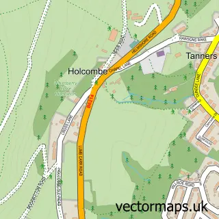
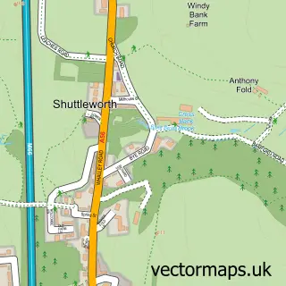
This Hazelhurst street map is a detailed vector street map covering a 750m x 750m area. Select a larger area to create and download your own vector street map of Hazelhurst.
The 750-metre map sample for Hazelhurst covers 256 mapped buildings and approximately 13.4 km of road detail, of which 23 named roads are named. The immediate area includes 2 schools, 3 GP surgeries within 2 miles, 2 pubs and 4 MOT stations within 2 miles. The wider area around Hazelhurst features 1 tourism point of interest, 3 food and drink venues and 1 campsite within 2 miles. To create a larger or custom map of Hazelhurst, the map builder lets you define your own coverage area and download editable SVG, PDF and PNG files.
Create a larger editable map of Hazelhurst
Choose any area you need and generate a high-quality vector map instantly. Perfect for print, planning, design, business and personal use.

This Hazelhurst street map in Greater Manchester is available as downloadable SVG, PDF and PNG map files, or as a printed map for planning, business, display, education, local information and design work. You can also create a larger custom map area using the map selector.
What this Hazelhurst map sample shows
Hazelhurst lies within Bury District (B) parish, part of North Manor ward in the Bury District (B) local authority area. The postcode geography for this area includes the BL postcode area, the BL8 postcode district and the BL8 4 postcode sector. Residents fall under the Nhs Greater Manchester Integrated Care Board for NHS services.
Local features near Hazelhurst
Within 2 milesAmenities and services in and around Hazelhurst.
Administrative and postcode information for Hazelhurst
Hazelhurst lies within Bury District (B) parish, part of North Manor ward in the Bury District (B) local authority area. The postcode geography for this area includes the BL postcode area, the BL8 postcode district and the BL8 4 postcode sector. Residents fall under the Nhs Greater Manchester Integrated Care Board for NHS services.
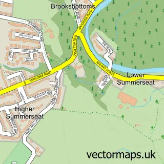
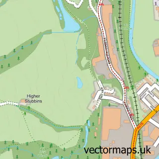
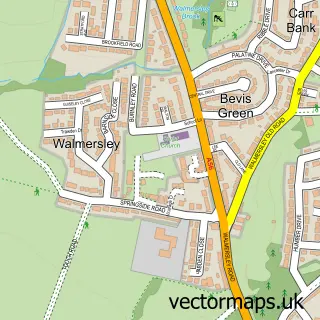
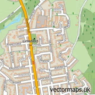
Nearby street map samples around Hazelhurst


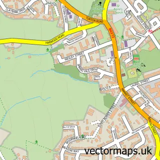

More street maps in Greater Manchester
750 metre map area coverage
Boundary, postcode and point of interest information for the 750m x 750m rectangle centred on this sample map.
Boundaries containing map centre
Constituency: Bury North Boro Const
District: Bury District (B)
Icb: NHS Greater Manchester ICB
Police Force: greater manchester
Postcode District: BL8
Postcode Sector: BL8 4
Ward: Ramsbottom Ward
Nearby boundaries intersecting sample
Postcode District: BL0
Postcode Sector: BL0 9
Ward: North Manor Ward
Postcode coverage
POI category counts
Pet Groomer: 2
Pub: 2
Advertising Agency: 1
Anglican Church: 1
Arts And Entertainment: 1
Automotive Services And Repair: 1
Beauty Salon: 1
College University: 1
Contractor: 1
Driving School: 1
Sample points of interest
- Molineux and Co Advertising Design
- Parish of Holcombe and Hawkshaw
- John Hassall Studio
- Holcombe Laptops
- Halo Hair Studio
- Darul Uloom Al Arabiya Al Islamiya
- Matts Handyman Services
- Ramsbottom School of Motoring
- Darul Uloom Islamic College
- Compsey Creamery
- Woodhey High School
- Redisher Woods
Create a larger editable map of Hazelhurst
This sample shows only a 750 metre area. To create a larger map of Hazelhurst, use our map builder to choose your own coverage area, add titles and download editable SVG, PDF and PNG files.
Create a custom map of Hazelhurst