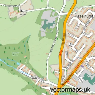
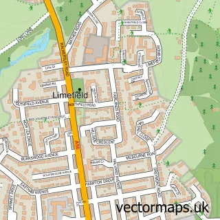
This Summerseat street map is a detailed vector street map covering a 750m x 750m area. Select a larger area to create and download your own vector street map of Summerseat.
The 750-metre map sample for Summerseat covers 181 mapped buildings and approximately 9.5 km of road detail, of which 23 named roads are named. The immediate area includes 4 GP surgeries within 2 miles, 2 pubs and 8 MOT stations within 2 miles. The wider area around Summerseat features 2 food and drink venues. To create a larger or custom map of Summerseat, the map builder lets you define your own coverage area and download editable SVG, PDF and PNG files.
Create a larger editable map of Summerseat
Choose any area you need and generate a high-quality vector map instantly. Perfect for print, planning, design, business and personal use.

This Summerseat street map in Greater Manchester is available as downloadable SVG, PDF and PNG map files, or as a printed map for planning, business, display, education, local information and design work. You can also create a larger custom map area using the map selector.
What this Summerseat map sample shows
Summerseat lies within Bury District (B) parish, part of Ramsbottom ward in the Bury District (B) local authority area. The postcode geography for this area includes the BL postcode area, the BL9 postcode district and the BL9 5 postcode sector. Residents fall under the Nhs Greater Manchester Integrated Care Board for NHS services.
Local features near Summerseat
Within 2 milesAmenities and services in and around Summerseat.
Administrative and postcode information for Summerseat
Summerseat lies within Bury District (B) parish, part of Ramsbottom ward in the Bury District (B) local authority area. The postcode geography for this area includes the BL postcode area, the BL9 postcode district and the BL9 5 postcode sector. Residents fall under the Nhs Greater Manchester Integrated Care Board for NHS services.
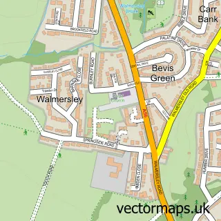
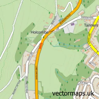
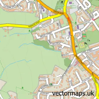
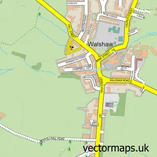
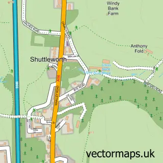
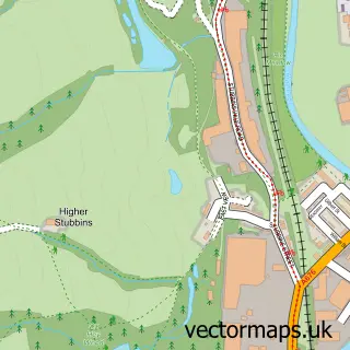
Nearby street map samples around Summerseat


More street maps in Greater Manchester
750 metre map area coverage
Boundary, postcode and point of interest information for the 750m x 750m rectangle centred on this sample map.
Boundaries containing map centre
Constituency: Bury North Boro Const
District: Bury District (B)
Icb: NHS Greater Manchester ICB
Police Force: greater manchester
Postcode District: BL9
Postcode Sector: BL9 5
Ward: North Manor Ward
Nearby boundaries intersecting sample
Postcode District: BL0, BL8
Postcode Sector: BL0 9, BL8 4
Postcode coverage
POI category counts
Convenience Store: 2
Italian Restaurant: 2
Photography Store And Services: 2
Pub: 2
Acupuncture: 1
Bakery: 1
Bar: 1
Ethiopian Restaurant: 1
Farm: 1
Masonry Concrete: 1
Sample points of interest
- The Garden Acupuncture Room
- Lisa Jane Cakes
- Footballers Inn
- Best-one
- Costcutter
- Londis
- Bearded Barista Honey
- Al Bosco
- Gattopardo
- Carriage Memorials
- Summerseat Garden Centre
- InPost
Create a larger editable map of Summerseat
This sample shows only a 750 metre area. To create a larger map of Summerseat, use our map builder to choose your own coverage area, add titles and download editable SVG, PDF and PNG files.
Create a custom map of Summerseat